1797 Anelli Ct Henderson, NV 89012
MacDonald Ranch NeighborhoodEstimated Value: $1,919,215 - $2,532,000
4
Beds
6
Baths
4,638
Sq Ft
$457/Sq Ft
Est. Value
About This Home
This home is located at 1797 Anelli Ct, Henderson, NV 89012 and is currently estimated at $2,121,304, approximately $457 per square foot. 1797 Anelli Ct is a home located in Clark County with nearby schools including Bob Miller Middle School, Foothill High School, and Foothills Montessori School.
Ownership History
Date
Name
Owned For
Owner Type
Purchase Details
Closed on
Jun 29, 2021
Sold by
Shaded Horizon Development Inc
Bought by
Greystone Nevada Llc
Current Estimated Value
Purchase Details
Closed on
Aug 27, 2003
Sold by
Integrity Foothills Llc
Bought by
Pichardo Jose and Pichardo Sonia
Home Financials for this Owner
Home Financials are based on the most recent Mortgage that was taken out on this home.
Original Mortgage
$172,500
Interest Rate
6.62%
Mortgage Type
Balloon
Create a Home Valuation Report for This Property
The Home Valuation Report is an in-depth analysis detailing your home's value as well as a comparison with similar homes in the area
Home Values in the Area
Average Home Value in this Area
Purchase History
| Date | Buyer | Sale Price | Title Company |
|---|---|---|---|
| Greystone Nevada Llc | $9,450,000 | Fidelity National Ttl Group | |
| Pichardo Jose | $230,000 | Lawyers Title Of Nevada |
Source: Public Records
Mortgage History
| Date | Status | Borrower | Loan Amount |
|---|---|---|---|
| Previous Owner | Pichardo Jose | $172,500 |
Source: Public Records
Tax History Compared to Growth
Tax History
| Year | Tax Paid | Tax Assessment Tax Assessment Total Assessment is a certain percentage of the fair market value that is determined by local assessors to be the total taxable value of land and additions on the property. | Land | Improvement |
|---|---|---|---|---|
| 2025 | $12,759 | $601,438 | $157,500 | $443,938 |
| 2024 | $11,814 | $601,438 | $157,500 | $443,938 |
| 2023 | $11,814 | $522,938 | $129,500 | $393,438 |
| 2022 | $10,940 | $435,948 | $113,750 | $322,198 |
| 2021 | $10,129 | $409,854 | $105,000 | $304,854 |
| 2020 | $9,402 | $382,797 | $81,200 | $301,597 |
| 2019 | $8,812 | $476,914 | $80,500 | $396,414 |
| 2018 | $8,408 | $464,518 | $80,500 | $384,018 |
| 2017 | $13,522 | $465,623 | $78,750 | $386,873 |
| 2016 | $7,867 | $381,635 | $52,500 | $329,135 |
| 2015 | $7,849 | $338,604 | $42,000 | $296,604 |
| 2014 | $7,621 | $258,932 | $24,500 | $234,432 |
Source: Public Records
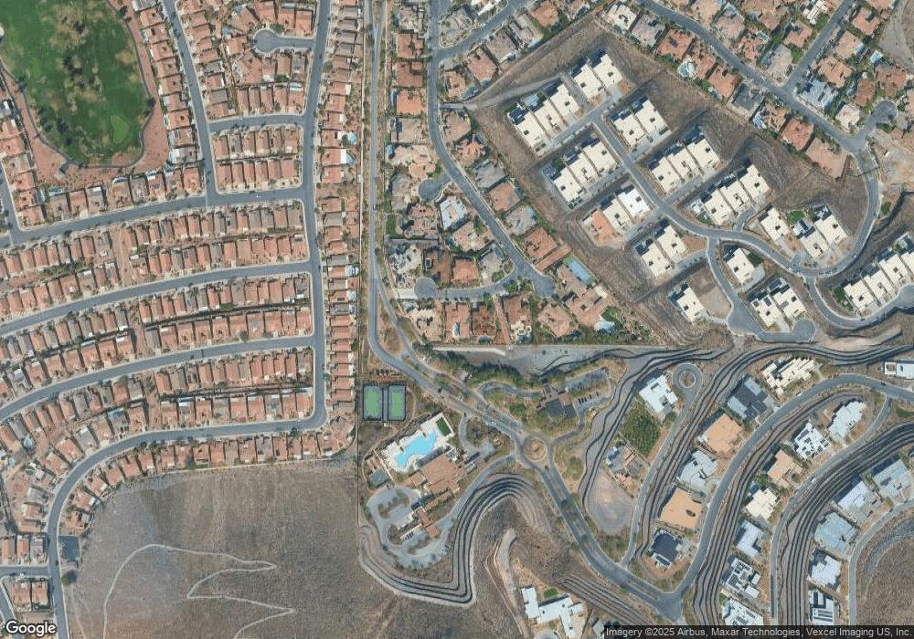
Map
Nearby Homes
- 1800 Melfi Ct
- 807 Magnum Cliff Ct
- 801 Dragons Eye Dr
- 811 Magnum Cliff Ct
- 805 Magnum Cliff Ct
- 1788 Lapis Ledge Ct
- 11 Cloud Chaser Blvd
- 810 Dragons Eye Dr
- 6 Vista Crescent Ct
- 1786 Diamond Rim Ct
- 588 Mountain Links Dr
- 1802 Cypress Bay Ave Unit 7
- 25 Sanctuary Peak Ct
- 1834 Cypress Mesa Dr
- 13 Rockstream Dr
- 23 Sanctuary Peak Ct
- 6 Rockmount Ct
- 20 Sanctuary Peak Ct
- 2072 King Mesa Dr
- 763 Romano Ln
- 1799 Anelli Ct
- 1796 Anelli Ct
- 1798 Anelli Ct
- 1793 Anelli Ct
- 1794 Anelli Ct
- 1800 Anelli Ct
- 793 Bolle Way
- 799 Bolle Way
- 1799 Melfi Ct
- 1826 High Mesa Dr
- 1830 High Mesa Dr
- 1797 Melfi Ct
- 796 Bolle Way
- 1828 High Mesa Dr
- 1832 High Mesa Dr
- 1834 High Mesa Dr
- 1824 High Mesa Dr
- 1836 High Mesa Dr
- 794 Bolle Way
- 1822 High Mesa Dr