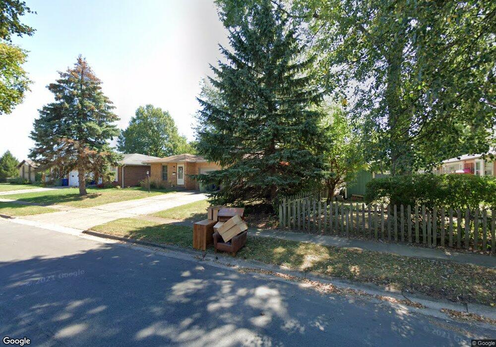
1797 Hampstead Dr Unit 799 Columbus, OH 43229
Northgate NeighborhoodEstimated Value: $296,000 - $381,000
4
Beds
2
Baths
1,962
Sq Ft
$167/Sq Ft
Est. Value
About This Home
This home is located at 1797 Hampstead Dr Unit 799, Columbus, OH 43229 and is currently estimated at $328,327, approximately $167 per square foot. 1797 Hampstead Dr Unit 799 is a home located in Franklin County with nearby schools including Alpine Elementary School, Northgate Intermediate, and Woodward Park Middle School.
Ownership History
Date
Name
Owned For
Owner Type
Purchase Details
Closed on
Jan 11, 2000
Sold by
Zablocki Joan E
Bought by
Grooms Todd C
Current Estimated Value
Home Financials for this Owner
Home Financials are based on the most recent Mortgage that was taken out on this home.
Original Mortgage
$116,000
Outstanding Balance
$37,078
Interest Rate
7.92%
Estimated Equity
$291,249
Purchase Details
Closed on
Jun 23, 1993
Create a Home Valuation Report for This Property
The Home Valuation Report is an in-depth analysis detailing your home's value as well as a comparison with similar homes in the area
Home Values in the Area
Average Home Value in this Area
Purchase History
| Date | Buyer | Sale Price | Title Company |
|---|---|---|---|
| Grooms Todd C | $145,000 | -- | |
| -- | -- | -- |
Source: Public Records
Mortgage History
| Date | Status | Borrower | Loan Amount |
|---|---|---|---|
| Open | Grooms Todd C | $116,000 |
Source: Public Records
Tax History Compared to Growth
Tax History
| Year | Tax Paid | Tax Assessment Tax Assessment Total Assessment is a certain percentage of the fair market value that is determined by local assessors to be the total taxable value of land and additions on the property. | Land | Improvement |
|---|---|---|---|---|
| 2024 | $4,089 | $90,160 | $22,260 | $67,900 |
| 2023 | $4,037 | $90,160 | $22,260 | $67,900 |
| 2022 | $2,576 | $49,070 | $11,480 | $37,590 |
| 2021 | $2,581 | $49,070 | $11,480 | $37,590 |
| 2020 | $2,585 | $49,070 | $11,480 | $37,590 |
| 2019 | $2,410 | $39,240 | $9,170 | $30,070 |
| 2018 | $2,460 | $39,240 | $9,170 | $30,070 |
| 2017 | $2,409 | $39,240 | $9,170 | $30,070 |
| 2016 | $2,766 | $41,230 | $9,170 | $32,060 |
| 2015 | $2,515 | $41,230 | $9,170 | $32,060 |
| 2014 | $2,521 | $41,230 | $9,170 | $32,060 |
| 2013 | $1,381 | $45,780 | $10,150 | $35,630 |
Source: Public Records
Map
Nearby Homes
- 6035 Karl Rd
- 6019 Beechcroft Rd
- 1549 Alpine Dr
- 1752 Pine Tree St S Unit H
- 1743 Pine Tree St N Unit A
- 6245 Sharon Woods Blvd
- 5732 Beechcroft Rd Unit B
- 6342 Bellmeadow Dr
- 5726 Beechcroft Rd Unit J
- 1881 Brimfield Rd
- 1687 Brookfield Square S
- 1390 E Dublin Granville Rd
- 6407 Skywae Dr
- 2250 Webster Canyon Ct
- 6355 Johnanne St
- 6458 Faircrest Rd
- 1288 Oakfield Dr N
- 1722 Blue Ash Place
- 1492 Cottonwood Dr
- 1914 Walden Dr
- 1805 Hampstead Dr Unit 807
- 6006 Sharon Woods Blvd Unit 8
- 6006 Sharon Woods Blvd Unit 6008
- 6006-6008 Sharon Woods Blvd
- 1813-1815 Hampstead Dr
- 1813 Hampstead Dr Unit 815
- 1786 Hampstead Dr Unit 788
- 6033 Sandgate Rd Unit 35
- 1827 Hampstead Dr Unit 829
- 1829 Hampstead Dr
- 6036 Sharon Woods Blvd
- 6041 Sandgate Rd
- 6003 Sharon Woods Blvd
- 5995 Sharon Woods Blvd
- 6011 Sharon Woods Blvd
- 6036 Sandgate Rd Unit 38
- 1776 Durbridge Rd Unit 78
- 6044 Sharon Woods Blvd
- 6021 Sharon Woods Blvd
- 6049 Sandgate Rd