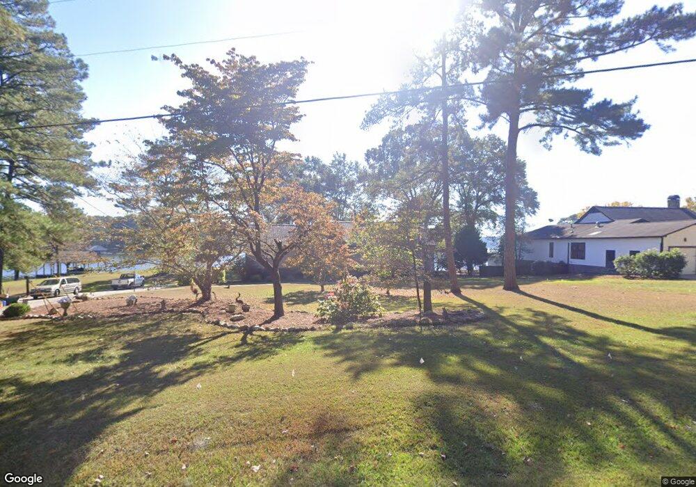
17980 Highway 42 Shelby, AL 35143
South Shelby NeighborhoodEstimated Value: $542,000 - $682,000
--
Bed
1
Bath
2,994
Sq Ft
$202/Sq Ft
Est. Value
About This Home
This home is located at 17980 Highway 42, Shelby, AL 35143 and is currently estimated at $605,926, approximately $202 per square foot. 17980 Highway 42 is a home with nearby schools including Shelby Elementary School, Columbiana Middle School, and Shelby County High School.
Ownership History
Date
Name
Owned For
Owner Type
Purchase Details
Closed on
Oct 11, 2023
Sold by
Erhart Robert Michael and Erhart Mary
Bought by
Mary And Robert Erhart Family Trust and Erhart
Current Estimated Value
Purchase Details
Closed on
May 19, 1999
Sold by
Atchison J L J and Atchison Katherine A
Bought by
Freeman Judith B
Create a Home Valuation Report for This Property
The Home Valuation Report is an in-depth analysis detailing your home's value as well as a comparison with similar homes in the area
Home Values in the Area
Average Home Value in this Area
Purchase History
| Date | Buyer | Sale Price | Title Company |
|---|---|---|---|
| Mary And Robert Erhart Family Trust | $545,350 | None Listed On Document | |
| Freeman Judith B | $55,000 | Stewart Title Insurance Co |
Source: Public Records
Tax History Compared to Growth
Tax History
| Year | Tax Paid | Tax Assessment Tax Assessment Total Assessment is a certain percentage of the fair market value that is determined by local assessors to be the total taxable value of land and additions on the property. | Land | Improvement |
|---|---|---|---|---|
| 2024 | $2,541 | $57,760 | $0 | $0 |
| 2023 | $1,858 | $54,540 | $0 | $0 |
| 2022 | $1,619 | $48,180 | $0 | $0 |
| 2021 | $1,571 | $42,280 | $0 | $0 |
| 2020 | $1,421 | $38,280 | $0 | $0 |
| 2019 | $1,394 | $37,560 | $0 | $0 |
Source: Public Records
Map
Nearby Homes
- 3753 County Road 42 Unit 1
- 156 Wallace Dr
- 511 Wallace Dr
- 17016 Highway 42
- 89 Hall Cir
- 1035 Lake Dr
- 19819 River Dr
- 770 Gallops Ln
- 16350 County Road 42
- 15679 Highway 42
- 47 Conn Cir
- 914 Paradise Point Dr Unit 14
- 0 Vick Ln Unit 21416150
- 451 Paradise Point Dr
- 6948 Highway 71
- 59 General Jackson Memorial Dr Unit 59
- 3015 Talladega Springs Rd
- 53 Summers Bend Unit 1
- 209 Shore Side Ln Unit 209
- 0 General Jackson Memorial Dr Unit 21425920
- 17932 Highway 42
- 17932 Highway 42
- 17886 County Road 42
- 17886 Highway 42
- 17890 Highway 42
- 17890 Highway 42
- 50 Wallace Dr
- 17818 Highway 42 Unit 4
- 17818 Highway 42
- 17818 Highway 42
- 4 Wallace Dr
- 18586 Co Rd 42
- 16776 River Dr
- 65 Wallace Dr
- 17780 Highway 42
- 17780 Highway 42
- 50 Downs Cir
- 70 Downs Cir
- 85 Wallace Dr
- 17760 Highway 42