1799 S 680 W Unit 217 Provo, UT 84601
Franklin NeighborhoodEstimated Value: $603,165 - $660,000
3
Beds
3
Baths
2,782
Sq Ft
$226/Sq Ft
Est. Value
About This Home
This home is located at 1799 S 680 W Unit 217, Provo, UT 84601 and is currently estimated at $628,791, approximately $226 per square foot. 1799 S 680 W Unit 217 is a home located in Utah County with nearby schools including Franklin Elementary School, Dixon Middle School, and Provo High School.
Ownership History
Date
Name
Owned For
Owner Type
Purchase Details
Closed on
Sep 25, 2020
Sold by
Lieber Jeremy and Lieber Michelle
Bought by
Burdett Eric Glen and Burdett Erika Rigby
Current Estimated Value
Home Financials for this Owner
Home Financials are based on the most recent Mortgage that was taken out on this home.
Original Mortgage
$382,200
Outstanding Balance
$339,947
Interest Rate
2.9%
Mortgage Type
New Conventional
Estimated Equity
$288,844
Purchase Details
Closed on
Mar 1, 2018
Sold by
D R Horton Inc
Bought by
Lieber Jeremy and Lieber Michelle
Home Financials for this Owner
Home Financials are based on the most recent Mortgage that was taken out on this home.
Original Mortgage
$324,012
Interest Rate
4.5%
Mortgage Type
FHA
Purchase Details
Closed on
Dec 7, 2016
Sold by
Mitchell Development L C
Bought by
D R Horton Inc
Create a Home Valuation Report for This Property
The Home Valuation Report is an in-depth analysis detailing your home's value as well as a comparison with similar homes in the area
Home Values in the Area
Average Home Value in this Area
Purchase History
| Date | Buyer | Sale Price | Title Company |
|---|---|---|---|
| Burdett Eric Glen | -- | Charger Title | |
| Lieber Jeremy | -- | Cottonwood Title Ins Agency | |
| D R Horton Inc | -- | None Available |
Source: Public Records
Mortgage History
| Date | Status | Borrower | Loan Amount |
|---|---|---|---|
| Open | Burdett Eric Glen | $382,200 | |
| Previous Owner | Lieber Jeremy | $324,012 |
Source: Public Records
Tax History Compared to Growth
Tax History
| Year | Tax Paid | Tax Assessment Tax Assessment Total Assessment is a certain percentage of the fair market value that is determined by local assessors to be the total taxable value of land and additions on the property. | Land | Improvement |
|---|---|---|---|---|
| 2025 | $2,975 | $307,780 | $233,300 | $326,300 |
| 2024 | $2,975 | $292,820 | $0 | $0 |
| 2023 | $2,842 | $275,825 | $0 | $0 |
| 2022 | $2,855 | $279,345 | $0 | $0 |
| 2021 | $2,241 | $382,500 | $131,600 | $250,900 |
| 2020 | $2,154 | $344,600 | $114,400 | $230,200 |
| 2019 | $1,891 | $314,600 | $114,400 | $200,200 |
| 2018 | $1,728 | $291,500 | $107,200 | $184,300 |
| 2017 | $1,041 | $96,500 | $0 | $0 |
Source: Public Records
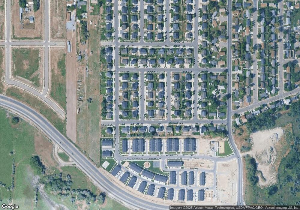
Map
Nearby Homes
- 588 W 1720 S
- 642 W 1870 S Unit 1046
- Oakridge (Crawl) Plan at Osprey Towns
- 686 W 1920 S Unit 1024
- Dalton Plan at Osprey Towns
- Dumont Plan at Osprey Towns
- Millbrook (Crawl) Plan at Osprey Towns
- 1895 S 530 W Unit 1191
- 661 W 1920 S Unit 1072
- 311 W 1610 S
- 655 W 1280 S
- 1095 S 500 W Unit 11
- 914 W 1150 S Unit 2
- 908 W 1150 S Unit 3
- 985 S 600 W
- 272 W 1020 S Unit B
- 966 S Freedom Blvd Unit 1
- 933 S Blvd W
- 239 S Meadow Dr Unit 10
- 131 S Meadow Dr Unit 20
- 1799 S 680 W
- 1781 S 680 W
- 1817 S 680 W
- 1794 S 620 W Unit LOT224
- 1776 S 620 W Unit LOT223
- 1796 S 680 W Unit LOT212
- 1812 S 620 W
- 1812 S 620 W Unit LOT225
- 1778 S 680 W
- 1759 S 680 W
- 1814 S 680 W Unit 211
- 1754 S 620 W Unit LOT222
- 1756 S 680 W
- 1756 S 680 W Unit LOT214
- 1799 S 730 W Unit 241
- 661 W 1820 S Unit 204
- 1797 S 620 W
- 675 W 1820 S Unit LOT205
- 1781 S 730 W Unit LOT240
- 1781 S 730 W