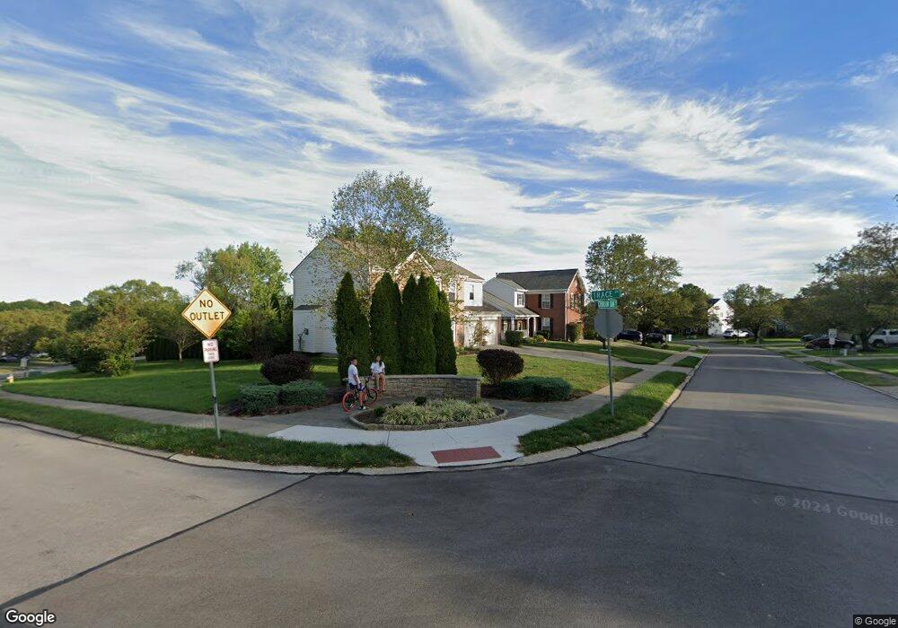
1799 Trace Dr Florence, KY 41042
Estimated Value: $170,745 - $289,000
3
Beds
2
Baths
930
Sq Ft
$257/Sq Ft
Est. Value
About This Home
This home is located at 1799 Trace Dr, Florence, KY 41042 and is currently estimated at $239,436, approximately $257 per square foot. 1799 Trace Dr is a home located in Boone County with nearby schools including Erpenbeck Elementary School, Ockerman Middle School, and Randall K. Cooper High School.
Ownership History
Date
Name
Owned For
Owner Type
Purchase Details
Closed on
Jun 17, 2016
Sold by
Terrace Development Company Llc
Bought by
Nelson Weslee
Current Estimated Value
Home Financials for this Owner
Home Financials are based on the most recent Mortgage that was taken out on this home.
Original Mortgage
$132,600
Outstanding Balance
$105,100
Interest Rate
3.61%
Mortgage Type
New Conventional
Estimated Equity
$134,336
Purchase Details
Closed on
Apr 29, 2008
Sold by
Nvr Inc
Bought by
Terrace Development Co Llc
Purchase Details
Closed on
Dec 21, 2007
Sold by
Terrace Development Llc
Bought by
Nvr Inc
Create a Home Valuation Report for This Property
The Home Valuation Report is an in-depth analysis detailing your home's value as well as a comparison with similar homes in the area
Home Values in the Area
Average Home Value in this Area
Purchase History
| Date | Buyer | Sale Price | Title Company |
|---|---|---|---|
| Nelson Weslee | $156,000 | None Available | |
| Terrace Development Co Llc | $126,907 | First Title Agency | |
| Nvr Inc | $164,660 | First Title Agency |
Source: Public Records
Mortgage History
| Date | Status | Borrower | Loan Amount |
|---|---|---|---|
| Open | Nelson Weslee | $132,600 |
Source: Public Records
Tax History
| Year | Tax Paid | Tax Assessment Tax Assessment Total Assessment is a certain percentage of the fair market value that is determined by local assessors to be the total taxable value of land and additions on the property. | Land | Improvement |
|---|---|---|---|---|
| 2025 | $1,061 | $156,000 | $34,000 | $122,000 |
| 2024 | $1,066 | $156,000 | $34,000 | $122,000 |
| 2023 | $1,034 | $156,000 | $34,000 | $122,000 |
| 2022 | $1,095 | $156,000 | $34,000 | $122,000 |
| 2021 | $1,456 | $156,000 | $34,000 | $122,000 |
| 2020 | $1,132 | $156,000 | $34,000 | $122,000 |
| 2019 | $1,142 | $156,000 | $34,000 | $122,000 |
| 2018 | $1,574 | $156,000 | $34,000 | $122,000 |
| 2017 | $1,510 | $156,000 | $34,000 | $122,000 |
| 2015 | $1,218 | $126,910 | $34,000 | $92,910 |
| 2013 | -- | $126,910 | $34,000 | $92,910 |
Source: Public Records
Map
Nearby Homes
- 2714 Running Creek Dr
- 969 Mistflower Ln
- 953 Mistflower Ln
- 9131 Timberbrook Ln Unit D
- 9119 Royal Oak Ln Unit 9119
- 9074 Braxton Dr
- 9080 Timberbrook Ln Unit C
- 1797 Waverly Dr
- 9104 Timberbrook Ln Unit D
- 2719 Chateau Ct
- 3029 Nottoway Ct
- 9637 Venice St
- 8601 Marais Dr
- 8400 Old World Ct
- 2381 Longbranch Rd-Lot 3 Rd
- 2381 Longbranch Rd-Lot 5 Rd
- 2381 Longbranch-New Build Rd
- 2381 Longbranch Rd-Lot 1 Rd
- 9004 Fort Henry Dr
- 1305 Rubyhill Ln
- 1960 Terrace Ct
- 1964 Terrace Ct
- 1956 Terrace Ct
- 1968 Terrace Ct
- 1789 Cedar Terrace
- 1952 Terrace Ct
- 1972 Terrace Ct
- 1948 Terrace Ct
- 1976 Terrace Ct Unit 1976
- 1796 Cedar Terrace
- 1792 Cedar Terrace
- 1798 Cedar Terrace
- 1788 Cedar Terrace
- 1800 Rosecrans Cir
- 1944 Terrace Ct
- 1840 Cedar Terrace
- 1980 Terrace Ct
- 1844 Cedar Terrace
- 1848 Cedar Terrace
- 1832 Rosecrans Cir
