Estimated Value: $561,000 - $847,685
4
Beds
2
Baths
2,820
Sq Ft
$241/Sq Ft
Est. Value
About This Home
This home is located at 17991 Highway 95 NE, Foley, MN 56329 and is currently estimated at $679,421, approximately $240 per square foot. 17991 Highway 95 NE is a home located in Benton County with nearby schools including Foley Elementary School, Foley Intermediate Elementary School, and Foley Senior High School.
Ownership History
Date
Name
Owned For
Owner Type
Purchase Details
Closed on
Dec 27, 2019
Sold by
Ritsche Cassandra Lynn and Ritsche Adam Scott
Bought by
Blank Jason A and Blank Allee M
Current Estimated Value
Home Financials for this Owner
Home Financials are based on the most recent Mortgage that was taken out on this home.
Original Mortgage
$304,000
Outstanding Balance
$256,599
Interest Rate
3.6%
Mortgage Type
New Conventional
Estimated Equity
$422,822
Purchase Details
Closed on
Jul 19, 2017
Create a Home Valuation Report for This Property
The Home Valuation Report is an in-depth analysis detailing your home's value as well as a comparison with similar homes in the area
Home Values in the Area
Average Home Value in this Area
Purchase History
| Date | Buyer | Sale Price | Title Company |
|---|---|---|---|
| Blank Jason A | $380,000 | Heartland Title | |
| -- | $8,500 | None Available |
Source: Public Records
Mortgage History
| Date | Status | Borrower | Loan Amount |
|---|---|---|---|
| Open | Blank Jason A | $304,000 |
Source: Public Records
Tax History Compared to Growth
Tax History
| Year | Tax Paid | Tax Assessment Tax Assessment Total Assessment is a certain percentage of the fair market value that is determined by local assessors to be the total taxable value of land and additions on the property. | Land | Improvement |
|---|---|---|---|---|
| 2025 | $4,474 | $682,100 | $184,900 | $497,200 |
| 2024 | $4,108 | $644,800 | $176,700 | $468,100 |
| 2023 | $3,702 | $649,500 | $176,700 | $472,800 |
| 2022 | $3,674 | $546,400 | $154,400 | $392,000 |
| 2021 | $3,766 | $467,000 | $130,900 | $336,100 |
| 2018 | $4,154 | $402,500 | $124,293 | $278,207 |
| 2017 | $4,154 | $377,900 | $124,034 | $253,866 |
| 2016 | $4,032 | $383,000 | $125,200 | $257,800 |
| 2015 | $4,064 | $348,400 | $123,630 | $224,770 |
| 2014 | -- | $331,600 | $117,467 | $214,133 |
| 2013 | -- | $336,100 | $120,404 | $215,696 |
Source: Public Records
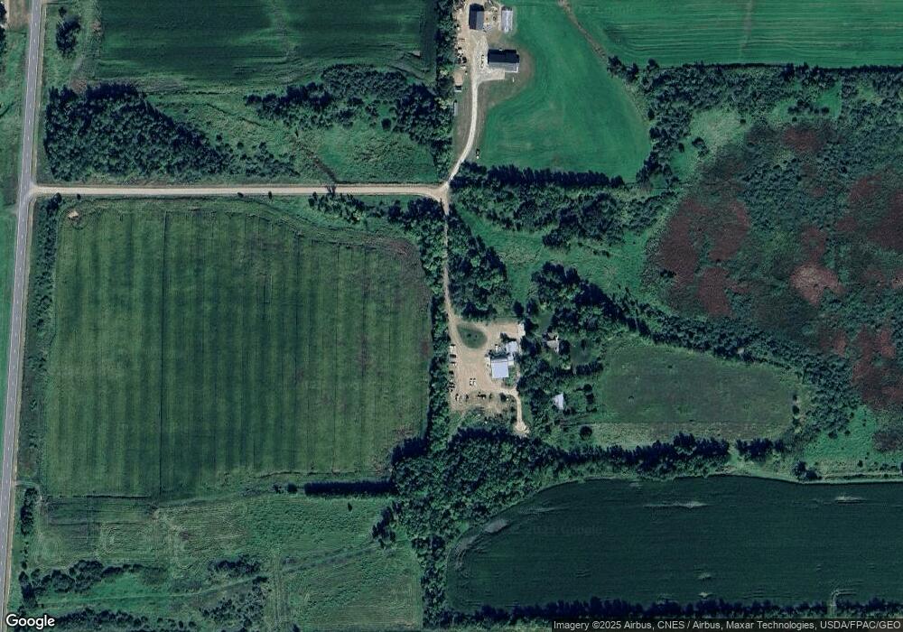
Map
Nearby Homes
- 2830 185th Ave NE
- 16301 5th St NE
- 3501 160th Ave
- XXX County Road 7
- 16595 20th St
- TBD 17th St
- Unassigned 160th Ave
- 19365 65th St NE
- 15617 73rd St
- 1406 23rd St NE
- 17131 65th St NE
- 16386 80th St
- 15826 80th St
- TBDx 165th Ave SE
- Lot 1 127th
- 14580 30th St
- TBD 50th St
- 2894 115th Ave
- XXXX 90th St
- 13636 42nd St SE
- 18495 Highway 95 NE
- 18255 Highway 95 NE
- 17815 Highway 95 NE
- 17815 Highway 95 NE
- 17816 Highway 95 NE
- 17620 Highway 95 NE
- 18240 25th St NE
- 1845 175th Ave NE
- 2090 175th Ave NE
- XXXX Glendorado Rd
- 1081 186th Ave NE
- 1142 186th Ave NE
- 1144 186th Ave NE
- 18680 25th St NE
- 18400 25th St NE
- 17945 25th St NE
- XXXX 175th Ave NE
- XXX 175th Ave NE
- 1571 190th Ave NE
- 1363 175th Ave NE