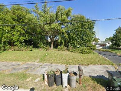
17W530 Butterfield Rd Oakbrook Terrace, IL 60181
Oakbrook Terrace NeighborhoodEstimated Value: $303,878 - $358,000
--
Bed
--
Bath
1,170
Sq Ft
$281/Sq Ft
Est. Value
About This Home
This home is located at 17W530 Butterfield Rd, Oakbrook Terrace, IL 60181 and is currently estimated at $329,220, approximately $281 per square foot. 17W530 Butterfield Rd is a home located in DuPage County with nearby schools including Salt Creek Elementary School, Stella May Swartz Elementary School, and John E Albright Middle School.
Ownership History
Date
Name
Owned For
Owner Type
Purchase Details
Closed on
Jun 26, 2019
Sold by
Johnson Kevin B
Bought by
Johnson Jeanette K and Zettle Ashley N
Current Estimated Value
Purchase Details
Closed on
Feb 13, 2019
Sold by
Johnson Anna Lois
Bought by
Johnson Kevin Brian
Purchase Details
Closed on
May 31, 2011
Sold by
Johnson Anna L
Bought by
Johnson Anna Lois and The Anna Lois Johnson Living Trust
Purchase Details
Closed on
Sep 18, 2002
Sold by
Johnson Anna L
Bought by
People Of The State Of Illinois
Create a Home Valuation Report for This Property
The Home Valuation Report is an in-depth analysis detailing your home's value as well as a comparison with similar homes in the area
Home Values in the Area
Average Home Value in this Area
Purchase History
| Date | Buyer | Sale Price | Title Company |
|---|---|---|---|
| Johnson Kevin Brian | -- | None Available | |
| Johnson Anna Lois | -- | None Available | |
| People Of The State Of Illinois | -- | -- |
Source: Public Records
Tax History Compared to Growth
Tax History
| Year | Tax Paid | Tax Assessment Tax Assessment Total Assessment is a certain percentage of the fair market value that is determined by local assessors to be the total taxable value of land and additions on the property. | Land | Improvement |
|---|---|---|---|---|
| 2023 | $4,447 | $95,970 | $36,140 | $59,830 |
| 2022 | $4,150 | $92,250 | $34,740 | $57,510 |
| 2021 | $4,198 | $89,960 | $33,880 | $56,080 |
| 2020 | $4,108 | $87,990 | $33,140 | $54,850 |
| 2019 | $3,942 | $83,660 | $31,510 | $52,150 |
| 2018 | $2,603 | $78,410 | $29,530 | $48,880 |
| 2017 | $2,689 | $74,720 | $28,140 | $46,580 |
| 2016 | $2,690 | $70,390 | $26,510 | $43,880 |
| 2015 | $2,833 | $65,580 | $24,700 | $40,880 |
| 2014 | $2,914 | $63,190 | $24,110 | $39,080 |
| 2013 | $2,727 | $64,080 | $24,450 | $39,630 |
Source: Public Records
Map
Nearby Homes
- 1S701 Eisenhower Rd
- 17W767 Lowell Ln
- 732 E Oliviabrook Dr
- 17W706 Kirkland Ln
- 1S272 Stratford Ln Unit 3
- 18W017 Kirkland Ln
- 18W152 Buckingham Ln Unit 1
- 1S262 Windsor Ln Unit 5
- 1S206 Stratford Ln Unit 2
- 18W104 Kirkland Ln Unit 3
- 16 Kingston Dr
- 18W217 Standish Ln Unit 4
- 18W214 Lathrop Ln Unit 1
- 1S206 Radford Ln
- 1S269 Michigan Ave Unit 8
- 2 Royal Vale Dr
- 1500 S Ardmore Ave Unit 300
- 6 Charleton Place
- 169 Briarwood N
- 46 Hamilton Ln
- 17W530 Butterfield Rd
- 17W520 Butterfield Rd
- 17W531 Southlane Dr
- 17W508 Butterfield Rd
- 17W521 Southlane Dr
- 1S443 Summit Ave Unit 305
- 1S443 Summit Ave Unit 206
- 1S443 Summit Ave Unit 201
- 1S443 Summit Ave Unit 101
- 1S443 Summit Ave
- 1S443 Summit Ave Unit 207
- 1S443 Summit Ave Unit 304
- 1S443 Summit Ave Unit 204
- 1S443 Summit Ave Unit 202
- 17W482 Butterfield Rd
- 17W535 Butterfield Rd
- 17W509 Southlane Dr
- 17W481 Butterfield Rd
- 17W481 Butterfield Rd Unit C