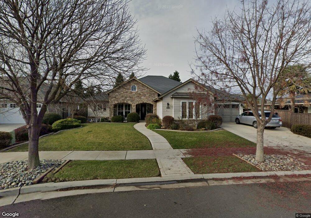
18 Abbott Cir Chico, CA 95973
Northwest Chico NeighborhoodEstimated Value: $689,000 - $943,000
4
Beds
4
Baths
2,933
Sq Ft
$264/Sq Ft
Est. Value
About This Home
This home is located at 18 Abbott Cir, Chico, CA 95973 and is currently estimated at $774,363, approximately $264 per square foot. 18 Abbott Cir is a home located in Butte County with nearby schools including Emma Wilson Elementary School, Chico Junior High School, and Chico High School.
Ownership History
Date
Name
Owned For
Owner Type
Purchase Details
Closed on
May 12, 2009
Sold by
Epick Inc
Bought by
Esponde Mike L and Esponde Trust
Current Estimated Value
Home Financials for this Owner
Home Financials are based on the most recent Mortgage that was taken out on this home.
Original Mortgage
$217,000
Interest Rate
4.71%
Mortgage Type
Purchase Money Mortgage
Create a Home Valuation Report for This Property
The Home Valuation Report is an in-depth analysis detailing your home's value as well as a comparison with similar homes in the area
Home Values in the Area
Average Home Value in this Area
Purchase History
| Date | Buyer | Sale Price | Title Company |
|---|---|---|---|
| Esponde Mike L | $589,500 | Mid Valley Title & Escrow Co |
Source: Public Records
Mortgage History
| Date | Status | Borrower | Loan Amount |
|---|---|---|---|
| Previous Owner | Esponde Mike L | $217,000 |
Source: Public Records
Tax History
| Year | Tax Paid | Tax Assessment Tax Assessment Total Assessment is a certain percentage of the fair market value that is determined by local assessors to be the total taxable value of land and additions on the property. | Land | Improvement |
|---|---|---|---|---|
| 2025 | $5,958 | $528,530 | $115,091 | $413,439 |
| 2024 | $5,958 | $518,168 | $112,835 | $405,333 |
| 2023 | $5,889 | $508,009 | $110,623 | $397,386 |
| 2022 | $5,757 | $498,049 | $108,454 | $389,595 |
| 2021 | $5,689 | $488,284 | $106,328 | $381,956 |
| 2020 | $5,573 | $483,278 | $105,238 | $378,040 |
| 2019 | $5,427 | $473,803 | $103,175 | $370,628 |
| 2018 | $5,263 | $464,513 | $101,152 | $363,361 |
| 2017 | $5,134 | $455,406 | $99,169 | $356,237 |
| 2016 | $4,684 | $446,477 | $97,225 | $349,252 |
| 2015 | $4,680 | $439,771 | $95,765 | $344,006 |
| 2014 | $4,571 | $431,158 | $93,890 | $337,268 |
Source: Public Records
Map
Nearby Homes
- 737 Windham Way
- 639 Burnt Ranch Way
- 538 Burnt Ranch Way
- 3467 Chamberlain Run
- 414 Antelope Creek Ave
- 3465 Shaker Ln
- 372 Weymouth Way
- 4117 Nord Hwy
- 3484 Peerless Ln
- 338 Royal Glen Ln
- 3481 Bell Rd
- 3310 Rodeo Ave
- 3276 Rodeo Ave
- 3261 Rodeo Ave
- 156 Greenfield Dr
- 217 Zion Canyon Ct
- 3156 Esplanade Unit 293
- 3156 Esplanade Unit 228
- 3156 Esplanade Unit 300
- 3156 Esplanade Unit 207
- 18 Abbott Cir Unit 15
- 20 Abbott Cir
- 801 Burgess Cir
- 803 Burgess Cir
- 22 Abbott Cir Unit 17
- 22 Abbott Cir
- 54 Abbott Cir Unit 13
- 54 Abbott Cir
- 52 Abbott Cir
- 56 Abbott Cir
- 50 Abbott Cir
- 19 Abbott Cir
- 17 Abbott Cir
- 73 Abbott Cir
- 71 Abbott Cir
- 48 Abbott Cir
- 24 Abbott Cir
- 21 Abbott Cir
- 15 Abbott Cir
- 12 Abbott Cir
Your Personal Tour Guide
Ask me questions while you tour the home.