Estimated Value: $663,000 - $1,246,000
2
Beds
2
Baths
1,008
Sq Ft
$875/Sq Ft
Est. Value
About This Home
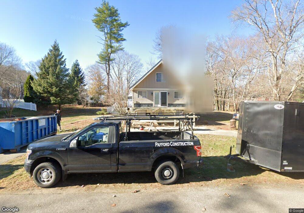
This home is located at 18 Acorn Acres, Rye, NH 03870 and is currently estimated at $881,795, approximately $874 per square foot. 18 Acorn Acres is a home located in Rockingham County with nearby schools including Rye Elementary School, Rye Junior High School, and Rye Country Day School.
Ownership History
Date
Name
Owned For
Owner Type
Purchase Details
Closed on
Jun 4, 2021
Sold by
Miles Abigail
Bought by
Abigail J Miles Lt and Miles
Current Estimated Value
Purchase Details
Closed on
Aug 4, 2003
Sold by
Gulotta Eugene C and Gulotta Gail M
Bought by
Miles Abigail J
Home Financials for this Owner
Home Financials are based on the most recent Mortgage that was taken out on this home.
Original Mortgage
$49,000
Interest Rate
5.28%
Mortgage Type
Purchase Money Mortgage
Purchase Details
Closed on
May 16, 1996
Sold by
Bridge Steven T and Bridge Joanne M
Bought by
Gulotta Eugene C
Home Financials for this Owner
Home Financials are based on the most recent Mortgage that was taken out on this home.
Original Mortgage
$104,000
Interest Rate
7.77%
Mortgage Type
Purchase Money Mortgage
Create a Home Valuation Report for This Property
The Home Valuation Report is an in-depth analysis detailing your home's value as well as a comparison with similar homes in the area
Home Values in the Area
Average Home Value in this Area
Purchase History
| Date | Buyer | Sale Price | Title Company |
|---|---|---|---|
| Abigail J Miles Lt | -- | None Available | |
| Abigail J Miles Lt | -- | None Available | |
| Miles Abigail J | $259,900 | -- | |
| Gulotta Eugene C | $130,000 | -- |
Source: Public Records
Mortgage History
| Date | Status | Borrower | Loan Amount |
|---|---|---|---|
| Previous Owner | Gulotta Eugene C | $47,000 | |
| Previous Owner | Gulotta Eugene C | $49,000 | |
| Previous Owner | Gulotta Eugene C | $104,000 |
Source: Public Records
Tax History
| Year | Tax Paid | Tax Assessment Tax Assessment Total Assessment is a certain percentage of the fair market value that is determined by local assessors to be the total taxable value of land and additions on the property. | Land | Improvement |
|---|---|---|---|---|
| 2024 | $4,945 | $571,000 | $412,600 | $158,400 |
| 2023 | $4,582 | $570,600 | $412,600 | $158,000 |
| 2022 | $3,983 | $570,600 | $412,600 | $158,000 |
| 2021 | $3,190 | $312,100 | $203,000 | $109,100 |
| 2020 | $6,606 | $312,100 | $203,000 | $109,100 |
| 2019 | $3,190 | $312,100 | $203,000 | $109,100 |
| 2018 | $3,218 | $304,800 | $203,000 | $101,800 |
| 2017 | $3,082 | $304,800 | $203,000 | $101,800 |
| 2016 | $3,058 | $286,300 | $184,500 | $101,800 |
| 2013 | $3,141 | $286,300 | $184,500 | $101,800 |
Source: Public Records
Map
Nearby Homes
- 665 Wallis Rd Unit 2
- 389 Sagamore Rd
- 414 Springbrook Cir
- 1643 Ocean Blvd
- 1591 Ocean Blvd
- 1191 - 1193 Ocean Blvd
- 137 Clark Rd
- 1703 White Cedar Blvd
- 1 Pheasant Ln
- 21 Mountainview Terrace
- 103 Bluefish Blvd
- 315 Salmon Ave
- 115 Bluefish Blvd
- 850R Washington Rd
- 149 Fern Ave
- 2075 Lafayette Rd Unit A23
- 80 Constitution Ave Unit 225
- 80 Constitution Ave Unit 317
- 80 Constitution Ave Unit 231
- 80 Constitution Ave Unit 331
Your Personal Tour Guide
Ask me questions while you tour the home.