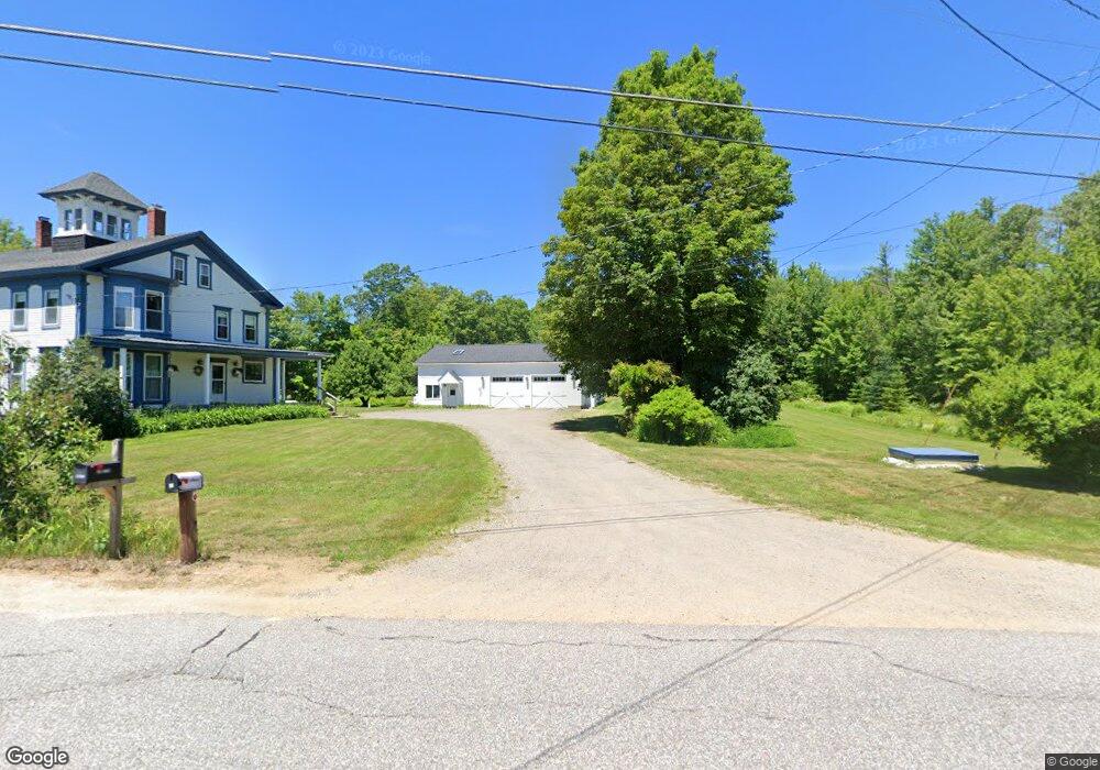
18 Allens Mill Rd Gilmanton, NH 03237
Estimated Value: $526,000 - $625,000
4
Beds
2
Baths
2,978
Sq Ft
$191/Sq Ft
Est. Value
About This Home
This home is located at 18 Allens Mill Rd, Gilmanton, NH 03237 and is currently estimated at $567,333, approximately $190 per square foot. 18 Allens Mill Rd is a home located in Belknap County with nearby schools including Gilmanton Elementary School, Gilford High School, and Heavenly Sonshine Preschool.
Ownership History
Date
Name
Owned For
Owner Type
Purchase Details
Closed on
Mar 9, 2011
Sold by
Gilbert Joseph and Gilbert Joanne C
Bought by
Gilbert Adam L and Gilbert Anna B
Current Estimated Value
Home Financials for this Owner
Home Financials are based on the most recent Mortgage that was taken out on this home.
Original Mortgage
$180,000
Outstanding Balance
$123,911
Interest Rate
4.83%
Mortgage Type
Purchase Money Mortgage
Estimated Equity
$443,422
Create a Home Valuation Report for This Property
The Home Valuation Report is an in-depth analysis detailing your home's value as well as a comparison with similar homes in the area
Home Values in the Area
Average Home Value in this Area
Purchase History
| Date | Buyer | Sale Price | Title Company |
|---|---|---|---|
| Gilbert Adam L | $180,000 | -- |
Source: Public Records
Mortgage History
| Date | Status | Borrower | Loan Amount |
|---|---|---|---|
| Open | Gilbert Adam L | $180,000 | |
| Previous Owner | Gilbert Adam L | $94,000 |
Source: Public Records
Tax History Compared to Growth
Tax History
| Year | Tax Paid | Tax Assessment Tax Assessment Total Assessment is a certain percentage of the fair market value that is determined by local assessors to be the total taxable value of land and additions on the property. | Land | Improvement |
|---|---|---|---|---|
| 2024 | $7,283 | $494,100 | $122,700 | $371,400 |
| 2023 | $6,161 | $263,400 | $66,100 | $197,300 |
| 2022 | $6,314 | $263,400 | $66,100 | $197,300 |
| 2021 | $6,190 | $263,400 | $66,100 | $197,300 |
| 2020 | $6,111 | $263,400 | $66,100 | $197,300 |
| 2019 | $6,003 | $263,400 | $66,100 | $197,300 |
| 2018 | $5,881 | $232,100 | $57,200 | $174,900 |
| 2017 | $5,756 | $232,100 | $57,200 | $174,900 |
| 2016 | $5,550 | $232,100 | $57,200 | $174,900 |
| 2015 | $6,021 | $232,100 | $57,200 | $174,900 |
| 2014 | $5,322 | $232,100 | $57,200 | $174,900 |
| 2013 | $4,623 | $218,600 | $62,900 | $155,700 |
Source: Public Records
Map
Nearby Homes
- 518 Province Rd
- 493 Province Rd
- 541 Province Rd
- 00 Intervale Dr Unit 51
- 00 Winter St Unit 42
- 00 Cedar Dr
- 0000 Cedar Dr
- 0000 Cedar Dr
- 585 Province Rd
- 153 Lakeshore Dr
- 201 Lakeshore Dr
- 174 Lakeshore Dr
- 9 Warbonnet Ln
- 000 Province Rd Unit 67
- 000 Province Rd
- 19 Abnaki Path
- 628 Province Rd
- 28 Abnaki Path
- Map 132 Lot 115 Arrowhead Ln
- 0 Dock Rd
- 7 Allens Mill Rd
- 264 Nh Route 140
- 15 Allens Mill Rd
- 30 Allens Mill Rd
- 307 Nh Route 140
- 23 Allens Mill Rd
- 320 Nh Route 140
- 320 New Hampshire 140
- 311 Nh Route 140
- 271 Nh Route 140
- 271 Nh Route 140
- 287 Nh Route 140
- 279 Nh Route 140
- 319 Nh Route 140
- 263 Nh Route 140
- 324 New Hampshire 140
- 262 Nh Route 140
- 323 New Hampshire 140
- 51 Allens Mill Rd
- 323 Route 140