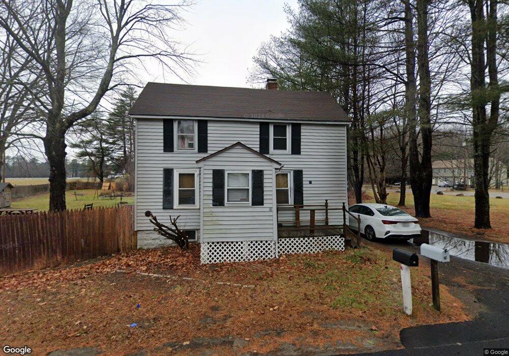
18 Austin St Westbrook, ME 04092
Estimated Value: $355,650 - $431,000
3
Beds
1
Bath
1,072
Sq Ft
$380/Sq Ft
Est. Value
About This Home
This home is located at 18 Austin St, Westbrook, ME 04092 and is currently estimated at $407,163, approximately $379 per square foot. 18 Austin St is a home located in Cumberland County with nearby schools including Westbrook High School, St. Brigid School, and Breakwater School.
Ownership History
Date
Name
Owned For
Owner Type
Purchase Details
Closed on
Aug 24, 2009
Sold by
Merrill Anita M and Us Bank Na Tr
Bought by
Us Bank Na Tr
Current Estimated Value
Home Financials for this Owner
Home Financials are based on the most recent Mortgage that was taken out on this home.
Original Mortgage
$122,735
Outstanding Balance
$80,634
Interest Rate
5.28%
Mortgage Type
FHA
Estimated Equity
$326,529
Create a Home Valuation Report for This Property
The Home Valuation Report is an in-depth analysis detailing your home's value as well as a comparison with similar homes in the area
Purchase History
| Date | Buyer | Sale Price | Title Company |
|---|---|---|---|
| Us Bank Na Tr | -- | -- |
Source: Public Records
Mortgage History
| Date | Status | Borrower | Loan Amount |
|---|---|---|---|
| Open | Us Bank Na Tr | $122,735 |
Source: Public Records
Tax History
| Year | Tax Paid | Tax Assessment Tax Assessment Total Assessment is a certain percentage of the fair market value that is determined by local assessors to be the total taxable value of land and additions on the property. | Land | Improvement |
|---|---|---|---|---|
| 2023 | $3,289 | $197,200 | $73,000 | $124,200 |
| 2022 | $2,972 | $164,200 | $60,800 | $103,400 |
| 2021 | $2,928 | $164,200 | $60,800 | $103,400 |
| 2020 | $2,933 | $164,200 | $60,800 | $103,400 |
| 2019 | $2,933 | $164,200 | $60,800 | $103,400 |
| 2018 | $2,891 | $144,900 | $52,900 | $92,000 |
| 2017 | $2,736 | $144,900 | $52,900 | $92,000 |
| 2016 | $2,666 | $144,900 | $52,900 | $92,000 |
| 2015 | $2,602 | $144,900 | $52,900 | $92,000 |
| 2014 | $2,492 | $144,900 | $52,900 | $92,000 |
| 2013 | $2,492 | $144,900 | $52,900 | $92,000 |
Source: Public Records
Map
Nearby Homes
- 7 Kasseys Way Unit 5
- 18 Summit Cir
- 22 Collins Place Dr Unit 4
- 7 Collins Place Unit 6
- 0 Reed St
- 7 Apex Dr Unit 2
- 67 Brydon Way Unit 70
- 5 Apex Dr Unit 1
- 290 Bridgton Rd Unit 1
- 375 Pride St Unit 38
- 30 Fawn Woods Way Unit 30
- Lot 15&16 Chickadee Ln
- 858 Riverside St
- 3 Collins Place Unit 5
- 383 Main St
- 60 Euclid Ave
- 171 Winterberry Dr Unit 48
- 311 Main St
- 157 Winterberry Dr Unit 46
- 272 Cumberland St
- 19 Austin St
- 5 Austin St
- 21 Austin St
- 430 E Bridge St
- 430 E Bridge St Unit Efficiency
- 444 E Bridge St
- 25 Austin St
- 450 E Bridge St
- 39 Austin St
- 64 Austin St
- 464 E Bridge St
- 472 E Bridge St
- 0 E Bridge St
- 6 Settlers Rd
- 8 Settlers Rd
- 79 Austin St
- 375 E Bridge St
- 10 Settlers Rd
- 480 E Bridge St
- 4 Settlers Rd
Your Personal Tour Guide
Ask me questions while you tour the home.