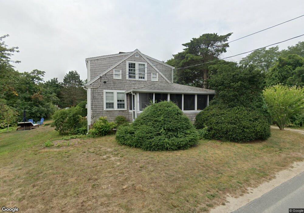
18 Bayview Rd Eastham, MA 02642
Estimated Value: $656,000 - $959,000
3
Beds
1
Bath
1,488
Sq Ft
$539/Sq Ft
Est. Value
About This Home
This home is located at 18 Bayview Rd, Eastham, MA 02642 and is currently estimated at $802,440, approximately $539 per square foot. 18 Bayview Rd is a home located in Barnstable County with nearby schools including Eastham Elementary School, Nauset Regional Middle School, and Nauset Regional High School.
Ownership History
Date
Name
Owned For
Owner Type
Purchase Details
Closed on
Sep 22, 2022
Sold by
Quattlebaum Edwin G and Quattlebaum Ruth F
Bought by
Ruth Flick Quattlebaum Ft
Current Estimated Value
Purchase Details
Closed on
Jun 5, 1990
Sold by
Pitcher Edmund R
Bought by
Quattlebaum Edwin G
Home Financials for this Owner
Home Financials are based on the most recent Mortgage that was taken out on this home.
Original Mortgage
$100,000
Interest Rate
10.25%
Mortgage Type
Purchase Money Mortgage
Create a Home Valuation Report for This Property
The Home Valuation Report is an in-depth analysis detailing your home's value as well as a comparison with similar homes in the area
Home Values in the Area
Average Home Value in this Area
Purchase History
| Date | Buyer | Sale Price | Title Company |
|---|---|---|---|
| Ruth Flick Quattlebaum Ft | -- | None Available | |
| Quattlebaum Edwin G | $174,500 | -- |
Source: Public Records
Mortgage History
| Date | Status | Borrower | Loan Amount |
|---|---|---|---|
| Previous Owner | Quattlebaum Edwin G | $100,000 |
Source: Public Records
Tax History
| Year | Tax Paid | Tax Assessment Tax Assessment Total Assessment is a certain percentage of the fair market value that is determined by local assessors to be the total taxable value of land and additions on the property. | Land | Improvement |
|---|---|---|---|---|
| 2025 | $4,899 | $635,400 | $264,300 | $371,100 |
| 2024 | $4,324 | $616,800 | $256,600 | $360,200 |
| 2023 | $3,989 | $550,900 | $237,600 | $313,300 |
| 2022 | $3,814 | $444,500 | $212,200 | $232,300 |
| 2021 | $3,705 | $403,600 | $192,800 | $210,800 |
| 2020 | $3,864 | $443,100 | $246,000 | $197,100 |
| 2019 | $3,604 | $436,900 | $238,900 | $198,000 |
| 2018 | $3,542 | $424,200 | $231,900 | $192,300 |
| 2017 | $3,285 | $415,800 | $227,400 | $188,400 |
| 2016 | $3,813 | $512,500 | $327,400 | $185,100 |
| 2015 | $3,555 | $500,700 | $321,000 | $179,700 |
Source: Public Records
Map
Nearby Homes
- 40 Bayview Rd
- 339 Dyer Prince Rd
- 6 Penny Ln
- 181 Rock Harbor Rd
- 10 Cartway N
- 188 Rock Harbor Rd
- 6 Defiance Ln
- 32 Locust Rd
- 2 Reilly Run
- 3 Reilly Run
- 320 State Hwy
- 20 Namskaket Rd
- 55 Grandfathers Way
- 17 Kings Way
- 13 S Orleans Rd Unit 28
- 9 Honeysuckle Ln
- 12 Phoebes Close
- 330 Hay Rd
- 36 Old Colony Way Unit 21
- 36 Old Colony Way Unit 3022
- 5 Bayview Rd
- 15 Bayview Rd
- 10 Bayview Rd
- 20 Bay View Rd
- 120 Windjammer Ln
- 10 Boat Meadow Way
- 20 Bayview Rd
- 16 Bayview Rd
- 25 Sunset Ave
- 22 Boat Meadow Way
- 685 Bridge Rd
- 110 Windjammer Ln
- 47 Sunset Ave
- 20 Sunset Ave
- 112 Windjammer Ln
- 12 Boat Meadow Way
- 69 Sunset Ave
- 715 Bridge Rd
- 6 Windjammer Ln
- 124 Windjammer Ln
Your Personal Tour Guide
Ask me questions while you tour the home.