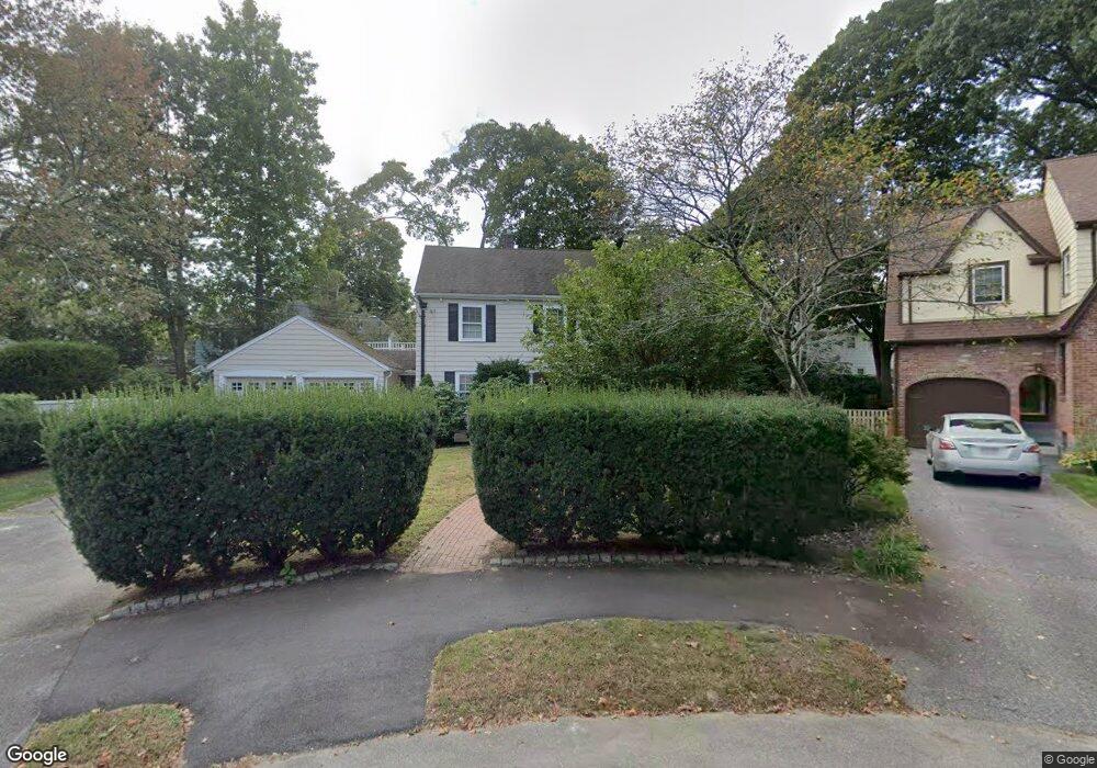
18 Bonmar Cir Auburndale, MA 02466
Auburndale NeighborhoodEstimated Value: $1,677,000 - $1,945,000
4
Beds
3
Baths
2,356
Sq Ft
$753/Sq Ft
Est. Value
About This Home
This home is located at 18 Bonmar Cir, Auburndale, MA 02466 and is currently estimated at $1,773,119, approximately $752 per square foot. 18 Bonmar Cir is a home located in Middlesex County with nearby schools including Williams Elementary School, Charles E Brown Middle School, and Newton South High School.
Ownership History
Date
Name
Owned For
Owner Type
Purchase Details
Closed on
Aug 1, 1994
Sold by
Hersch Susan R
Bought by
Stephens Timothy C and Ocallaghan Anne J
Current Estimated Value
Home Financials for this Owner
Home Financials are based on the most recent Mortgage that was taken out on this home.
Original Mortgage
$297,000
Interest Rate
8.25%
Mortgage Type
Purchase Money Mortgage
Create a Home Valuation Report for This Property
The Home Valuation Report is an in-depth analysis detailing your home's value as well as a comparison with similar homes in the area
Home Values in the Area
Average Home Value in this Area
Purchase History
| Date | Buyer | Sale Price | Title Company |
|---|---|---|---|
| Stephens Timothy C | $330,000 | -- |
Source: Public Records
Mortgage History
| Date | Status | Borrower | Loan Amount |
|---|---|---|---|
| Open | Stephens Timothy C | $165,000 | |
| Closed | Stephens Timothy C | $30,000 | |
| Closed | Stephens Timothy C | $304,000 | |
| Closed | Stephens Timothy C | $297,000 |
Source: Public Records
Tax History Compared to Growth
Tax History
| Year | Tax Paid | Tax Assessment Tax Assessment Total Assessment is a certain percentage of the fair market value that is determined by local assessors to be the total taxable value of land and additions on the property. | Land | Improvement |
|---|---|---|---|---|
| 2025 | $12,739 | $1,299,900 | $963,300 | $336,600 |
| 2024 | $12,317 | $1,262,000 | $935,200 | $326,800 |
| 2023 | $11,730 | $1,152,300 | $717,700 | $434,600 |
| 2022 | $10,697 | $1,016,800 | $664,500 | $352,300 |
| 2021 | $4,285 | $959,200 | $626,900 | $332,300 |
| 2020 | $10,014 | $959,200 | $626,900 | $332,300 |
| 2019 | $9,732 | $931,300 | $608,600 | $322,700 |
| 2018 | $3,831 | $862,600 | $553,200 | $309,400 |
| 2017 | $9,049 | $813,800 | $521,900 | $291,900 |
| 2016 | $8,656 | $760,600 | $487,800 | $272,800 |
| 2015 | $8,252 | $710,800 | $455,900 | $254,900 |
Source: Public Records
Map
Nearby Homes
- 283 Woodland Rd
- 1754 Washington St
- 1639 Washington St
- 1640 Commonwealth Ave
- 17 Gilbert St
- 51 Bourne St
- 13 Weir St
- 224 Auburn St Unit 224
- 224 Auburn St Unit A
- 226 Auburn St Unit 226
- 0 Duncan Rd Unit 72925240
- 17 Lasell St
- 62-64 Rowe St Unit B
- 10 Ruane Rd
- 17 Crescent St
- 10 Crescent St Unit 1
- 10 Crescent St Unit 2
- 283 Melrose St
- 40 Sewall St
- 27 Oakwood Rd
- 16 Bonmar Cir
- 290 Woodland Rd
- 296 Woodland Rd
- 126 Windermere Rd
- 302 Woodland Rd
- 140 Windermere Rd
- 118 Windermere Rd
- 17 Bonmar Cir
- 10 Bonmar Cir
- 15 Bonmar Cir
- 9 Bonmar Cir
- 1725 Washington St
- 114 Windermere Rd
- 291 Woodland Rd
- 1707 Washington St
- 1768 Commonwealth Ave Unit 1768
- 299 Woodland Rd
- 1778 Commonwealth Ave
- 1774 Commonwealth Ave
- 1766 Commonwealth Ave Unit 1768