18 Bradford Ave Unit 18 Scituate, MA 02066
Estimated Value: $841,000 - $878,000
3
Beds
2
Baths
1,334
Sq Ft
$638/Sq Ft
Est. Value
About This Home
This home is located at 18 Bradford Ave Unit 18, Scituate, MA 02066 and is currently estimated at $851,541, approximately $638 per square foot. 18 Bradford Ave Unit 18 is a home located in Plymouth County with nearby schools including Wampatuck Elementary School, Lester J. Gates Middle School, and Scituate High School.
Ownership History
Date
Name
Owned For
Owner Type
Purchase Details
Closed on
Jan 5, 2011
Sold by
Mccourt Christopher G and Mccourt Kathryn
Bought by
Mccourt Rt and Mccourt
Current Estimated Value
Purchase Details
Closed on
Nov 20, 2009
Sold by
Chase Clifford
Bought by
Mccourt Christopher G and Mccourt Kathryn B
Home Financials for this Owner
Home Financials are based on the most recent Mortgage that was taken out on this home.
Original Mortgage
$328,000
Interest Rate
4.86%
Mortgage Type
Purchase Money Mortgage
Purchase Details
Closed on
Feb 2, 2009
Sold by
Willard Brenda S and Bradford Turner Assos
Bought by
Chase Clifford
Home Financials for this Owner
Home Financials are based on the most recent Mortgage that was taken out on this home.
Original Mortgage
$360,000
Interest Rate
5.28%
Mortgage Type
Purchase Money Mortgage
Create a Home Valuation Report for This Property
The Home Valuation Report is an in-depth analysis detailing your home's value as well as a comparison with similar homes in the area
Home Values in the Area
Average Home Value in this Area
Purchase History
| Date | Buyer | Sale Price | Title Company |
|---|---|---|---|
| Mccourt Rt | -- | -- | |
| Mccourt Rt | -- | -- | |
| Mccourt Christopher G | $410,000 | -- | |
| Chase Clifford | $437,000 | -- |
Source: Public Records
Mortgage History
| Date | Status | Borrower | Loan Amount |
|---|---|---|---|
| Previous Owner | Chase Clifford | $328,000 | |
| Previous Owner | Chase Clifford | $360,000 |
Source: Public Records
Tax History Compared to Growth
Tax History
| Year | Tax Paid | Tax Assessment Tax Assessment Total Assessment is a certain percentage of the fair market value that is determined by local assessors to be the total taxable value of land and additions on the property. | Land | Improvement |
|---|---|---|---|---|
| 2025 | $6,867 | $687,400 | $476,800 | $210,600 |
| 2024 | $6,629 | $639,900 | $433,400 | $206,500 |
| 2023 | $6,321 | $577,700 | $394,000 | $183,700 |
| 2022 | $6,321 | $500,900 | $330,200 | $170,700 |
| 2021 | $5,815 | $436,200 | $314,500 | $121,700 |
| 2020 | $5,573 | $412,800 | $302,300 | $110,500 |
| 2019 | $5,525 | $402,100 | $296,400 | $105,700 |
| 2018 | $5,268 | $377,600 | $292,000 | $85,600 |
| 2017 | $5,172 | $367,100 | $281,500 | $85,600 |
| 2016 | $5,191 | $367,100 | $281,500 | $85,600 |
| 2015 | $4,673 | $356,700 | $271,100 | $85,600 |
Source: Public Records
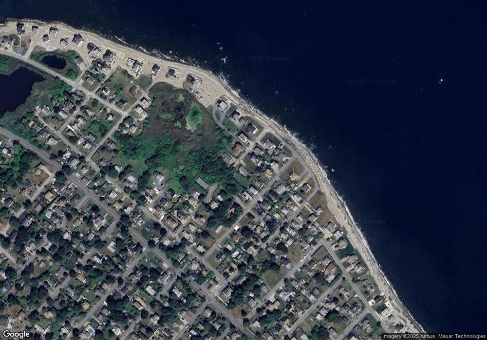
Map
Nearby Homes
- 209 Hatherly Rd
- 55 Seaside Rd
- 30 Irving Rd
- 7 Borden Rd
- 355 Tilden Rd
- 378 Tilden Rd
- 23 Lois Ann Ct Unit 23
- 50 Oceanside Dr
- 2 Windward Ln
- 22 Kings Way
- 105 Turner Rd
- 148 Tilden Rd
- 1 Hillside Rd
- 46 Marys Ln
- 12 Richfield Rd
- 54 Woodland Rd
- 32 Barker Rd Unit 3
- 59 Captain Peirce Rd
- 18 James Way
- 74 Tilden Rd