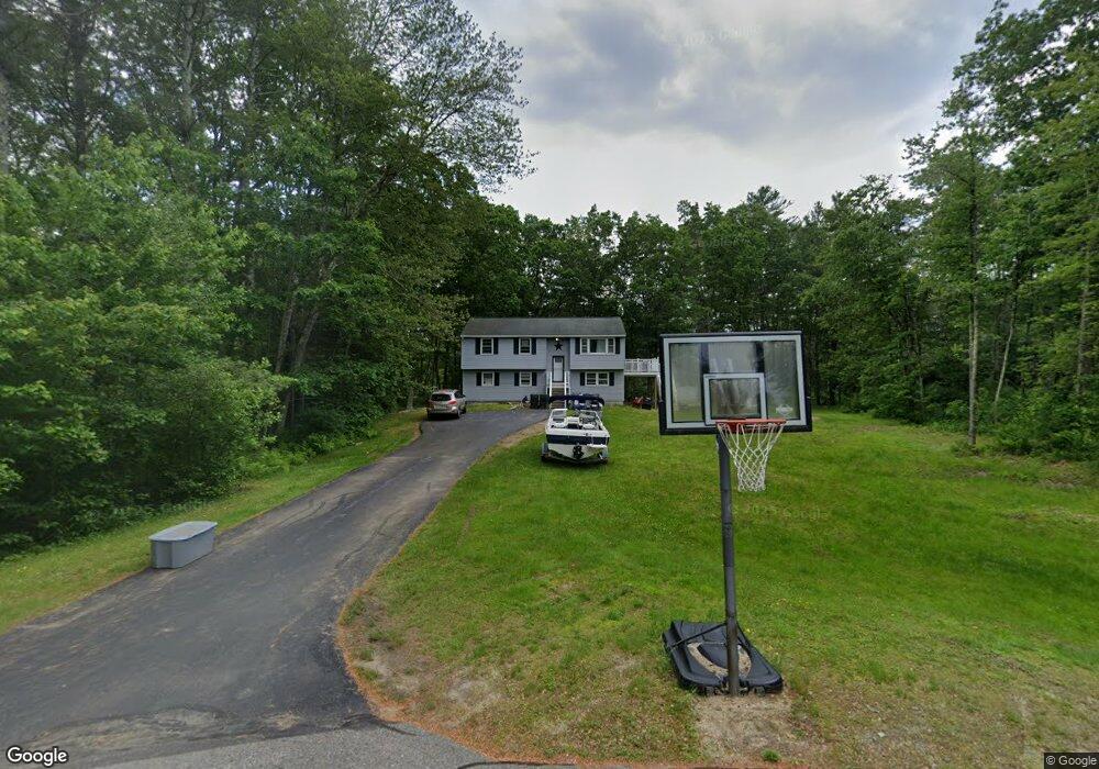
18 Brookview Dr Londonderry, NH 03053
Estimated Value: $503,000 - $572,000
3
Beds
1
Bath
1,028
Sq Ft
$509/Sq Ft
Est. Value
About This Home
This home is located at 18 Brookview Dr, Londonderry, NH 03053 and is currently estimated at $523,029, approximately $508 per square foot. 18 Brookview Dr is a home located in Rockingham County with nearby schools including Londonderry Middle School, Londonderry Senior High School, and Southern New Hampshire Montessori Academy.
Ownership History
Date
Name
Owned For
Owner Type
Purchase Details
Closed on
Apr 18, 2016
Sold by
Panteliodis Steve
Bought by
Travis Shawna M and Travis William J
Current Estimated Value
Home Financials for this Owner
Home Financials are based on the most recent Mortgage that was taken out on this home.
Original Mortgage
$190,800
Outstanding Balance
$151,380
Interest Rate
3.64%
Estimated Equity
$371,649
Create a Home Valuation Report for This Property
The Home Valuation Report is an in-depth analysis detailing your home's value as well as a comparison with similar homes in the area
Home Values in the Area
Average Home Value in this Area
Purchase History
| Date | Buyer | Sale Price | Title Company |
|---|---|---|---|
| Travis Shawna M | $212,000 | -- |
Source: Public Records
Mortgage History
| Date | Status | Borrower | Loan Amount |
|---|---|---|---|
| Open | Travis Shawna M | $190,800 |
Source: Public Records
Tax History Compared to Growth
Tax History
| Year | Tax Paid | Tax Assessment Tax Assessment Total Assessment is a certain percentage of the fair market value that is determined by local assessors to be the total taxable value of land and additions on the property. | Land | Improvement |
|---|---|---|---|---|
| 2024 | $6,469 | $400,800 | $150,200 | $250,600 |
| 2023 | $6,230 | $398,100 | $150,200 | $247,900 |
| 2022 | $6,268 | $339,200 | $112,600 | $226,600 |
| 2021 | $6,234 | $339,200 | $112,600 | $226,600 |
| 2020 | $5,333 | $265,200 | $84,400 | $180,800 |
| 2019 | $5,142 | $265,200 | $84,400 | $180,800 |
| 2018 | $4,665 | $214,000 | $70,300 | $143,700 |
| 2017 | $4,622 | $213,900 | $70,300 | $143,600 |
| 2016 | $4,519 | $210,200 | $70,300 | $139,900 |
| 2015 | $4,418 | $210,200 | $70,300 | $139,900 |
| 2014 | $4,433 | $210,200 | $70,300 | $139,900 |
| 2011 | -- | $213,800 | $70,300 | $143,500 |
Source: Public Records
Map
Nearby Homes
- 171 Londonderry Rd
- 7 Oakwood St
- 97 Kendall Pond Rd
- 5 Elise Ave Unit Lot 94
- 14 Reed St
- 1 Westwood Dr
- 1 Lily Ln
- 19 Lily Ln
- 1 Joan St
- 17 Lily Ln
- 24 Griffin Rd
- 11 Park St
- 69 Oakridge Dr
- 87 Oakridge Dr
- 18 Hawthorne Rd
- 95 Bayberry Ln
- 11 Midridge Cir Unit 116
- 12 Morrison Dr
- 20 Mercury Dr Unit 20
- 27 Midridge Cir