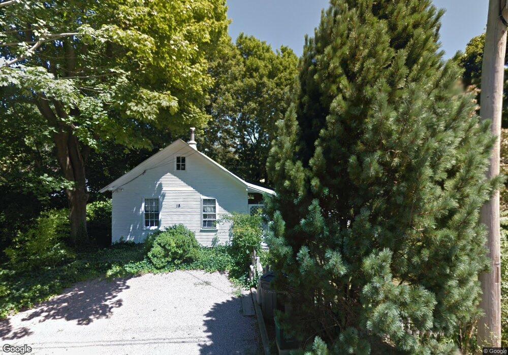
18 Calvert Place Jamestown, RI 02835
Jamestown Village NeighborhoodEstimated Value: $704,000 - $1,034,000
1
Bed
1
Bath
656
Sq Ft
$1,312/Sq Ft
Est. Value
About This Home
This home is located at 18 Calvert Place, Jamestown, RI 02835 and is currently estimated at $860,946, approximately $1,312 per square foot. 18 Calvert Place is a home located in Newport County with nearby schools including Melrose Avenue School and Lawn Avenue School.
Ownership History
Date
Name
Owned For
Owner Type
Purchase Details
Closed on
Jan 4, 1991
Sold by
Traulvetter William
Bought by
Munafo Julie
Current Estimated Value
Home Financials for this Owner
Home Financials are based on the most recent Mortgage that was taken out on this home.
Original Mortgage
$114,400
Interest Rate
9.83%
Mortgage Type
Purchase Money Mortgage
Create a Home Valuation Report for This Property
The Home Valuation Report is an in-depth analysis detailing your home's value as well as a comparison with similar homes in the area
Home Values in the Area
Average Home Value in this Area
Purchase History
| Date | Buyer | Sale Price | Title Company |
|---|---|---|---|
| Munafo Julie | $143,000 | -- |
Source: Public Records
Mortgage History
| Date | Status | Borrower | Loan Amount |
|---|---|---|---|
| Open | Munafo Julie | $104,000 | |
| Closed | Munafo Julie | $129,100 | |
| Closed | Munafo Julie | $97,600 | |
| Closed | Munafo Julie | $114,400 |
Source: Public Records
Tax History
| Year | Tax Paid | Tax Assessment Tax Assessment Total Assessment is a certain percentage of the fair market value that is determined by local assessors to be the total taxable value of land and additions on the property. | Land | Improvement |
|---|---|---|---|---|
| 2025 | $4,792 | $849,700 | $666,100 | $183,600 |
| 2024 | $4,637 | $646,700 | $505,000 | $141,700 |
| 2023 | $4,515 | $646,900 | $505,000 | $141,900 |
| 2022 | $4,392 | $646,900 | $505,000 | $141,900 |
| 2021 | $4,650 | $561,600 | $488,200 | $73,400 |
| 2020 | $4,532 | $561,600 | $488,200 | $73,400 |
| 2019 | $4,521 | $561,600 | $488,200 | $73,400 |
| 2018 | $3,599 | $406,700 | $338,800 | $67,900 |
| 2017 | $3,522 | $406,700 | $338,800 | $67,900 |
| 2016 | $3,489 | $406,700 | $338,800 | $67,900 |
| 2015 | $3,823 | $435,400 | $376,400 | $59,000 |
| 2014 | $3,810 | $435,400 | $376,400 | $59,000 |
Source: Public Records
Map
Nearby Homes
- 63 Longfellow Rd
- 127 Longfellow Rd
- 31 Buloid Ave
- 73 Conanicus Ave Unit 4
- 46 North Rd
- 78 Narragansett Ave
- 14 Clinton Ave
- 63 Pemberton Ave
- 22 Cole St
- 24 Southwest Ave
- 22 Southwest Ave
- 30 Walcott Ave
- 48 Ocean Ave
- 104 Howland Ave
- 30 W Bay View Dr
- 10 Coulter St
- 121 Seaside Dr
- 174 Seaside Dr
- 30 Bonnet View Dr
- 74 Third St
- 17 Pennsylvania Ave
- 15 Calvert Place
- 21 Calvert Place
- 28 Calvert Place
- 6 Calvert Place
- 11 Calvert Place
- 7 Pennsylvania Ave
- 27 Pennsylvania Ave
- 26 Pennsylvania Ave
- 7 Calvert Place
- 32 Calvert Place
- 14 Florida Ave
- 16 Florida Ave
- 12 Florida Ave
- 66 Alden Rd
- 28 Bryer Ave
- 36 Bryer Ave
- 29 Calvert Place
- 20 Florida Ave
- 1 Calvert Place
Your Personal Tour Guide
Ask me questions while you tour the home.