Estimated Value: $641,000 - $679,679
3
Beds
3
Baths
2,090
Sq Ft
$315/Sq Ft
Est. Value
About This Home
This home is located at 18 Cedar Ln, Bow, NH 03304 and is currently estimated at $658,920, approximately $315 per square foot. 18 Cedar Ln is a home with nearby schools including Bow Elementary School, Bow Memorial School, and Bow High School.
Ownership History
Date
Name
Owned For
Owner Type
Purchase Details
Closed on
May 22, 2023
Sold by
Mccarte John J
Bought by
John J Mccarte Ii T
Current Estimated Value
Purchase Details
Closed on
Oct 18, 2022
Sold by
Mccarte John J and Mccarte Laili K
Bought by
Mccarte John J
Purchase Details
Closed on
Apr 3, 2007
Sold by
Joyce Ann Paradore T
Bought by
Mccarte John J and Mccarte Laili K
Home Financials for this Owner
Home Financials are based on the most recent Mortgage that was taken out on this home.
Original Mortgage
$150,000
Interest Rate
6.33%
Mortgage Type
Purchase Money Mortgage
Create a Home Valuation Report for This Property
The Home Valuation Report is an in-depth analysis detailing your home's value as well as a comparison with similar homes in the area
Home Values in the Area
Average Home Value in this Area
Purchase History
| Date | Buyer | Sale Price | Title Company |
|---|---|---|---|
| John J Mccarte Ii T | -- | None Available | |
| Mccarte John J | -- | None Available | |
| Mccarte John J | $315,000 | -- |
Source: Public Records
Mortgage History
| Date | Status | Borrower | Loan Amount |
|---|---|---|---|
| Previous Owner | Mccarte John J | $100,000 | |
| Previous Owner | Mccarte John J | $142,900 | |
| Previous Owner | Mccarte John J | $150,000 |
Source: Public Records
Tax History Compared to Growth
Tax History
| Year | Tax Paid | Tax Assessment Tax Assessment Total Assessment is a certain percentage of the fair market value that is determined by local assessors to be the total taxable value of land and additions on the property. | Land | Improvement |
|---|---|---|---|---|
| 2024 | $11,504 | $581,600 | $148,200 | $433,400 |
| 2023 | $10,668 | $383,600 | $103,500 | $280,100 |
| 2022 | $10,173 | $383,600 | $103,500 | $280,100 |
| 2021 | $9,778 | $383,600 | $103,500 | $280,100 |
| 2020 | $9,812 | $383,600 | $103,500 | $280,100 |
| 2019 | $10,054 | $383,600 | $103,500 | $280,100 |
| 2018 | $9,212 | $331,600 | $94,800 | $236,800 |
| 2017 | $9,209 | $331,600 | $94,800 | $236,800 |
| 2016 | $8,718 | $331,600 | $94,800 | $236,800 |
| 2015 | $8,291 | $290,500 | $94,800 | $195,700 |
| 2014 | $8,573 | $290,500 | $94,800 | $195,700 |
| 2011 | $7,453 | $274,500 | $94,800 | $179,700 |
Source: Public Records
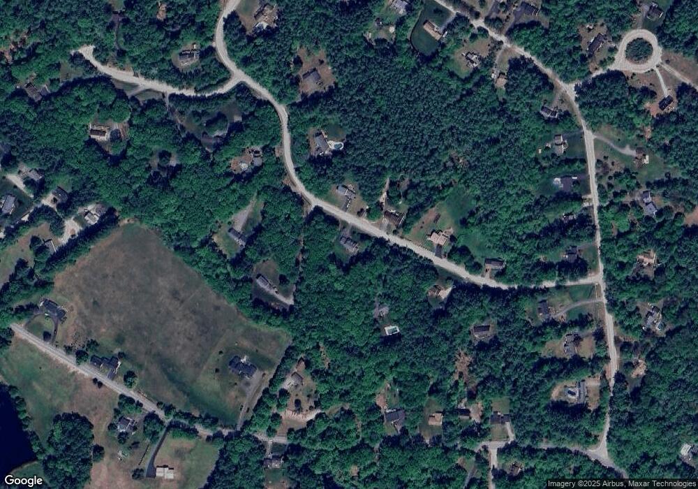
Map
Nearby Homes
- 490 Page Rd
- 8 Longview Dr
- 5 Longview Dr
- 27 Brushwood Dr
- 250 Grapevine Rd
- I3-03-05 Clinton St
- 70 Gile Hill Rd
- 167 Branch Londonderry Turnpike
- 0 Brown Hill Rd Unit 5032600
- 40 Sawmill Rd
- 77 White Rock Hill Rd
- 43 Sterling Place
- 1 Hop Kiln Rd
- 6 Woodland Cir
- 104 Brown Hill Rd
- 4 Bow Center Rd Unit F2
- 4 Bow Center Rd Unit B2
- 5 Holly Cir
- 29 Westover Ln
- 0 Farrington Corner Rd Unit 14