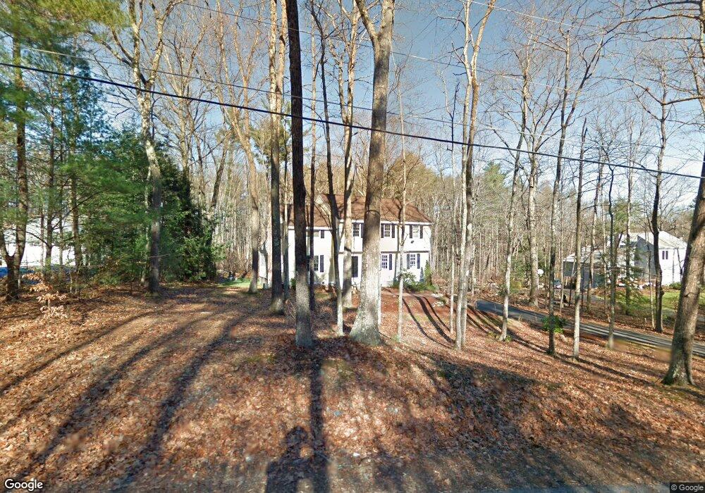
18 Darby Ln Bedford, NH 03110
Bedford NeighborhoodEstimated Value: $847,808 - $963,000
4
Beds
3
Baths
2,406
Sq Ft
$380/Sq Ft
Est. Value
About This Home
This home is located at 18 Darby Ln, Bedford, NH 03110 and is currently estimated at $914,702, approximately $380 per square foot. 18 Darby Ln is a home located in Hillsborough County with nearby schools including Mckelvie Intermediate School, Ross A. Lurgio Middle School, and Bedford High School.
Ownership History
Date
Name
Owned For
Owner Type
Purchase Details
Closed on
Feb 16, 2024
Sold by
Villarante Jennifer S
Bought by
Villarante Jennifer S and Boylan William
Current Estimated Value
Purchase Details
Closed on
Jul 28, 2014
Sold by
Surgento Matthew and Surgento Jessica
Bought by
Villarante Jennifer Susan and Villarante Al Diyco
Purchase Details
Closed on
Jun 17, 2009
Sold by
Ferrer Ana Maria
Bought by
Surgento Matthew and Surgento Jessica
Home Financials for this Owner
Home Financials are based on the most recent Mortgage that was taken out on this home.
Original Mortgage
$21,000
Interest Rate
5.47%
Mortgage Type
Unknown
Create a Home Valuation Report for This Property
The Home Valuation Report is an in-depth analysis detailing your home's value as well as a comparison with similar homes in the area
Home Values in the Area
Average Home Value in this Area
Purchase History
| Date | Buyer | Sale Price | Title Company |
|---|---|---|---|
| Villarante Jennifer S | -- | None Available | |
| Villarante Jennifer S | -- | None Available | |
| Villarante Jennifer Susan | $330,000 | -- | |
| Villarante Jennifer Susan | $330,000 | -- | |
| Surgento Matthew | $335,000 | -- | |
| Surgento Matthew | $335,000 | -- |
Source: Public Records
Mortgage History
| Date | Status | Borrower | Loan Amount |
|---|---|---|---|
| Previous Owner | Surgento Matthew | $266,108 | |
| Previous Owner | Surgento Matthew | $21,000 | |
| Previous Owner | Surgento Matthew | $268,000 |
Source: Public Records
Tax History Compared to Growth
Tax History
| Year | Tax Paid | Tax Assessment Tax Assessment Total Assessment is a certain percentage of the fair market value that is determined by local assessors to be the total taxable value of land and additions on the property. | Land | Improvement |
|---|---|---|---|---|
| 2024 | $11,388 | $720,300 | $252,200 | $468,100 |
| 2023 | $10,660 | $720,300 | $252,200 | $468,100 |
| 2022 | $9,831 | $558,600 | $186,900 | $371,700 |
| 2021 | $9,574 | $558,600 | $186,900 | $371,700 |
| 2020 | $9,345 | $466,800 | $143,700 | $323,100 |
| 2019 | $8,846 | $466,800 | $143,700 | $323,100 |
| 2018 | $8,825 | $432,600 | $143,700 | $288,900 |
| 2017 | $6,836 | $361,500 | $143,700 | $217,800 |
| 2016 | $6,979 | $312,000 | $115,000 | $197,000 |
| 2015 | $7,101 | $312,000 | $115,000 | $197,000 |
| 2014 | $7,020 | $312,000 | $115,000 | $197,000 |
| 2013 | $6,917 | $312,000 | $115,000 | $197,000 |
Source: Public Records
Map
Nearby Homes
- 68 Perry Rd
- 250 Joppa Hill Rd
- 301 N Amherst Rd
- 40 Strafford Ln
- 276 N Amherst Rd
- 258 N Amherst Rd Unit 34
- 18 Sprague Mill Rd
- 101 Horace Greeley Rd
- 28 Olde Lantern Rd
- 55 Indian Rock Rd
- 52 Hardy Rd
- 95 Hitching Post Ln
- 9 Cherry Ln
- 10 Winterberry Dr
- 27 Birkdale Rd Unit LOTS 170/171
- 99 Cambridge Rd
- 15-32-1-4 Chestnut Hill Rd
- 24 Brook Rd
- 393 Chestnut Hill Rd
- 150 Wallace Rd