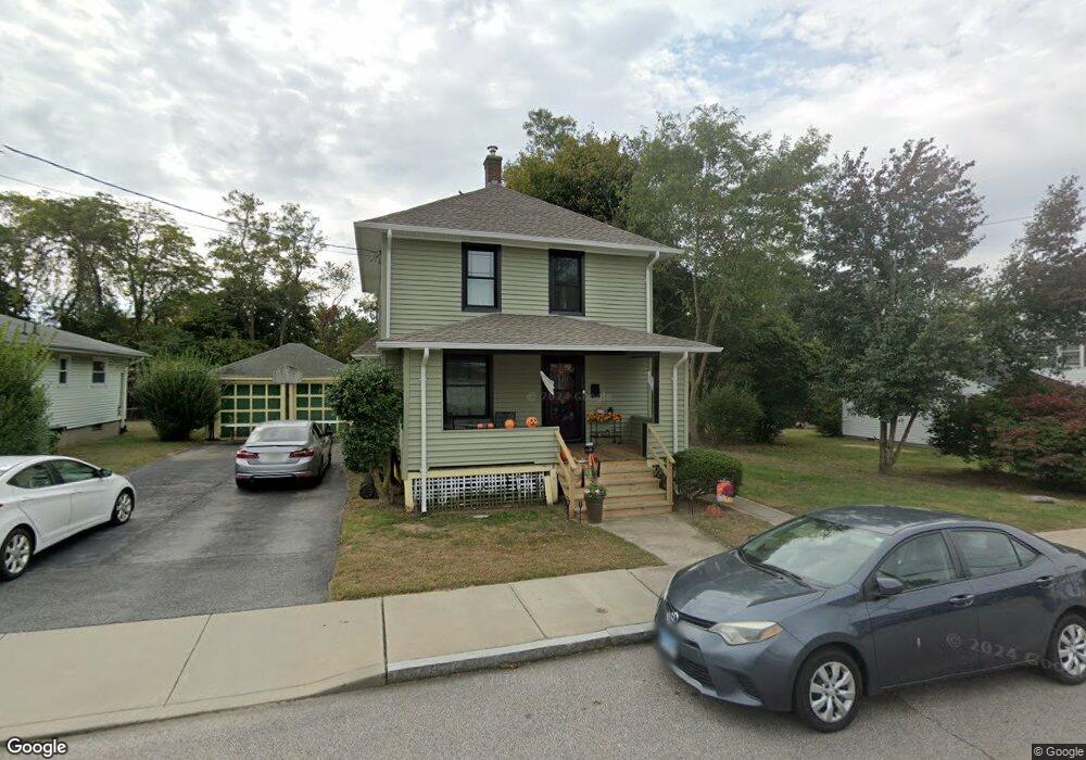
18 Dell Ave New London, CT 06320
Willetts NeighborhoodEstimated Value: $267,000 - $341,000
2
Beds
1
Bath
1,230
Sq Ft
$245/Sq Ft
Est. Value
About This Home
This home is located at 18 Dell Ave, New London, CT 06320 and is currently estimated at $301,894, approximately $245 per square foot. 18 Dell Ave is a home located in New London County with nearby schools including Harbor Elementary School, Bennie Dover Jackson Middle School, and New London High School.
Ownership History
Date
Name
Owned For
Owner Type
Purchase Details
Closed on
Nov 29, 2024
Sold by
Pero William N
Bought by
Pero William N and Pero Amy J
Current Estimated Value
Home Financials for this Owner
Home Financials are based on the most recent Mortgage that was taken out on this home.
Original Mortgage
$182,000
Outstanding Balance
$180,566
Interest Rate
6.78%
Mortgage Type
Stand Alone Refi Refinance Of Original Loan
Estimated Equity
$121,328
Create a Home Valuation Report for This Property
The Home Valuation Report is an in-depth analysis detailing your home's value as well as a comparison with similar homes in the area
Home Values in the Area
Average Home Value in this Area
Purchase History
| Date | Buyer | Sale Price | Title Company |
|---|---|---|---|
| Pero William N | -- | None Available | |
| Pero William N | -- | None Available | |
| Pero William N | -- | None Available |
Source: Public Records
Mortgage History
| Date | Status | Borrower | Loan Amount |
|---|---|---|---|
| Open | Pero William N | $182,000 | |
| Closed | Pero William N | $182,000 |
Source: Public Records
Tax History Compared to Growth
Tax History
| Year | Tax Paid | Tax Assessment Tax Assessment Total Assessment is a certain percentage of the fair market value that is determined by local assessors to be the total taxable value of land and additions on the property. | Land | Improvement |
|---|---|---|---|---|
| 2025 | $4,515 | $166,000 | $74,100 | $91,900 |
| 2024 | $4,565 | $166,000 | $74,100 | $91,900 |
| 2023 | $3,623 | $97,300 | $46,130 | $51,170 |
| 2022 | $3,630 | $97,300 | $46,130 | $51,170 |
| 2021 | $3,693 | $97,300 | $46,130 | $51,170 |
| 2020 | $3,716 | $97,300 | $46,130 | $51,170 |
| 2019 | $3,882 | $97,300 | $46,130 | $51,170 |
| 2018 | $4,167 | $95,270 | $42,140 | $53,130 |
| 2017 | $4,217 | $95,270 | $42,140 | $53,130 |
| 2016 | $3,855 | $95,270 | $42,140 | $53,130 |
| 2015 | $3,762 | $95,270 | $42,140 | $53,130 |
| 2014 | $3,265 | $95,270 | $42,140 | $53,130 |
Source: Public Records
Map
Nearby Homes
- 35 Menghi St
- 25 Menghi St
- 16 Bellevue Place
- 214 Thames St
- 184 Pequot Ave Unit 104
- 57 Farmington Ave
- 165 Plant St
- 20 Harris Rd
- 19 Dart St
- 51 Thames St
- 541 Montauk Ave
- 142 Plant St
- 72 Willetts Ave
- 152 Blydenburg Ave
- 22 Willetts Ave
- 57 Westridge Rd Unit B2
- 142 Montauk Ave
- 32 Moore Ave
- 2 Faye St
- 12 Pine St