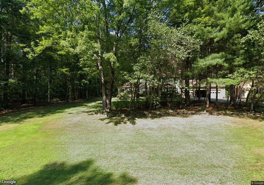
18 Forrence Dr Hollis, NH 03049
Hollis NeighborhoodEstimated Value: $741,000 - $803,000
4
Beds
3
Baths
2,572
Sq Ft
$297/Sq Ft
Est. Value
About This Home
This home is located at 18 Forrence Dr, Hollis, NH 03049 and is currently estimated at $762,997, approximately $296 per square foot. 18 Forrence Dr is a home with nearby schools including Hollis Primary School, Hollis Upper Elementary School, and Hollis-Brookline Middle School.
Ownership History
Date
Name
Owned For
Owner Type
Purchase Details
Closed on
Jul 11, 2017
Sold by
Garber Benjamin D and Landerman-Garber Laura
Bought by
Garber-Landerman Ret
Current Estimated Value
Purchase Details
Closed on
Jan 6, 1992
Bought by
Garber Benjamin D and Landerman-Garber Laura M
Create a Home Valuation Report for This Property
The Home Valuation Report is an in-depth analysis detailing your home's value as well as a comparison with similar homes in the area
Home Values in the Area
Average Home Value in this Area
Purchase History
| Date | Buyer | Sale Price | Title Company |
|---|---|---|---|
| Garber-Landerman Ret | -- | -- | |
| Garber Benjamin D | -- | -- |
Source: Public Records
Mortgage History
| Date | Status | Borrower | Loan Amount |
|---|---|---|---|
| Previous Owner | Garber Benjamin D | $348,000 | |
| Previous Owner | Garber Benjamin D | $365,635 | |
| Previous Owner | Garber Benjamin D | $355,000 |
Source: Public Records
Tax History Compared to Growth
Tax History
| Year | Tax Paid | Tax Assessment Tax Assessment Total Assessment is a certain percentage of the fair market value that is determined by local assessors to be the total taxable value of land and additions on the property. | Land | Improvement |
|---|---|---|---|---|
| 2024 | $11,361 | $640,800 | $277,000 | $363,800 |
| 2023 | $10,496 | $630,000 | $277,000 | $353,000 |
| 2022 | $14,219 | $630,000 | $277,000 | $353,000 |
| 2021 | $8,823 | $388,700 | $164,700 | $224,000 |
| 2020 | $35,226 | $388,700 | $164,700 | $224,000 |
| 2019 | $8,979 | $388,700 | $164,700 | $224,000 |
| 2018 | $8,136 | $388,700 | $164,700 | $224,000 |
| 2017 | $8,186 | $353,600 | $144,700 | $208,900 |
| 2016 | $8,285 | $353,600 | $144,700 | $208,900 |
| 2015 | $8,140 | $353,600 | $144,700 | $208,900 |
| 2014 | $8,211 | $355,000 | $146,100 | $208,900 |
| 2013 | $8,101 | $355,000 | $146,100 | $208,900 |
Source: Public Records
Map
Nearby Homes
- 77 Mooar Hill Rd
- 4-13 Woodmont Dr
- 75 Deerwood Dr Unit B
- 3 Roedean Dr Unit C-207
- 5 Dumaine Ave Unit B
- 5 Dumaine Ave Unit N
- 201 Millwright Dr
- 199 Pine Hill Rd
- 25 Eastern Ave
- 40-40A Pine Hill Rd
- 36 Hampton Dr
- 10 Drouin Way
- 102 Silver Lake Rd
- 4 Jared Cir Unit U21
- 26 Andover Down Unit 276
- 5 Chatfield Dr Unit U18
- 3 Cranleigh Mews Unit U297
- 118 Broad St
- 77 Broad St
- 3 Wood Ln