18 Giles Rd Unit SPY Boothbay, ME 04537
Estimated Value: $419,000 - $597,000
3
Beds
3
Baths
1,036
Sq Ft
$510/Sq Ft
Est. Value
About This Home
This home is located at 18 Giles Rd Unit SPY, Boothbay, ME 04537 and is currently estimated at $528,808, approximately $510 per square foot. 18 Giles Rd Unit SPY is a home located in Lincoln County with nearby schools including Boothbay Region Elementary School and Boothbay Region High School.
Ownership History
Date
Name
Owned For
Owner Type
Purchase Details
Closed on
Aug 2, 2005
Sold by
Warburton Richard T and Warburton Shirley A
Bought by
Roberts Paul G and Hepburn Julie
Current Estimated Value
Home Financials for this Owner
Home Financials are based on the most recent Mortgage that was taken out on this home.
Original Mortgage
$274,000
Outstanding Balance
$140,384
Interest Rate
5.67%
Mortgage Type
Purchase Money Mortgage
Estimated Equity
$388,424
Create a Home Valuation Report for This Property
The Home Valuation Report is an in-depth analysis detailing your home's value as well as a comparison with similar homes in the area
Home Values in the Area
Average Home Value in this Area
Purchase History
| Date | Buyer | Sale Price | Title Company |
|---|---|---|---|
| Roberts Paul G | -- | -- |
Source: Public Records
Mortgage History
| Date | Status | Borrower | Loan Amount |
|---|---|---|---|
| Open | Roberts Paul G | $274,000 |
Source: Public Records
Tax History
| Year | Tax Paid | Tax Assessment Tax Assessment Total Assessment is a certain percentage of the fair market value that is determined by local assessors to be the total taxable value of land and additions on the property. | Land | Improvement |
|---|---|---|---|---|
| 2025 | $4,691 | $387,679 | $118,520 | $269,159 |
| 2024 | $4,400 | $387,679 | $118,520 | $269,159 |
| 2023 | $3,896 | $387,679 | $118,520 | $269,159 |
| 2022 | $3,605 | $387,679 | $118,520 | $269,159 |
| 2021 | $3,702 | $387,679 | $118,520 | $269,159 |
| 2020 | $3,722 | $387,679 | $118,520 | $269,159 |
| 2019 | $3,664 | $387,679 | $118,520 | $269,159 |
| 2018 | $3,605 | $387,679 | $118,520 | $269,159 |
| 2017 | $3,743 | $406,900 | $129,100 | $277,800 |
| 2016 | $3,581 | $406,900 | $129,100 | $277,800 |
| 2015 | $3,560 | $406,900 | $129,100 | $277,800 |
| 2014 | $3,459 | $406,900 | $129,100 | $277,800 |
Source: Public Records
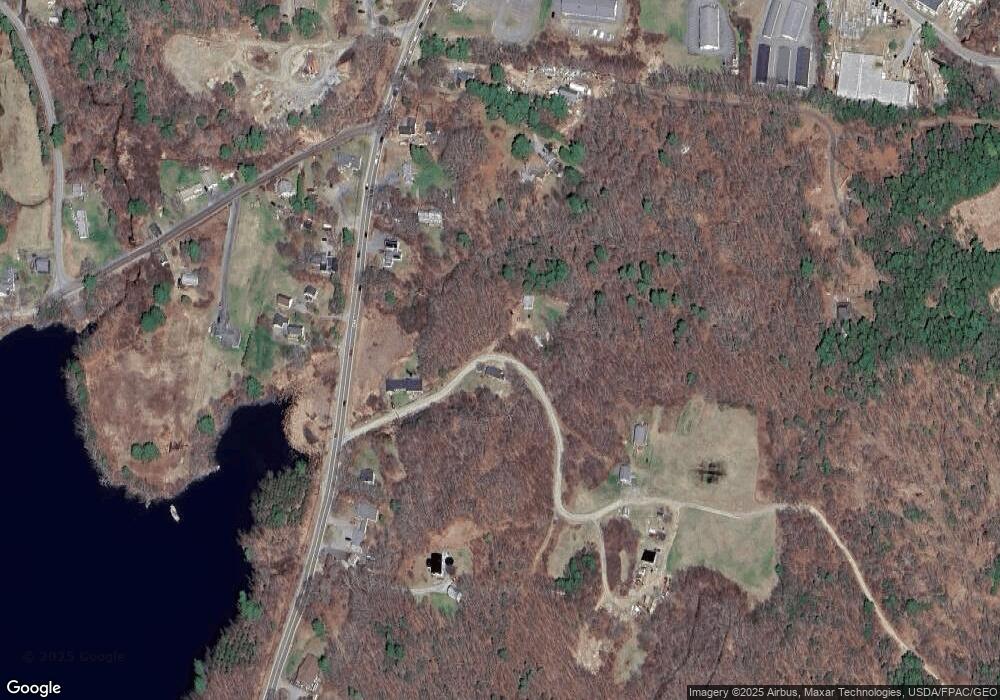
Map
Nearby Homes
- 670 Wiscasset Rd
- 96 Forest Haven Rd
- 22-E Peaceful Acres
- 62 Murphy Rd
- 576 Back River Rd
- 23 Sunny Acres Ln
- 5 Hillside Place Unit 2
- 86 Firth Dr
- 44-4 Windrush Ln
- 30 Village Ct Unit 36
- 43 Oak St
- 66 Townsend Ave
- 210 Ocean Point Rd
- 63 Townsend Ave
- 6 Abenaki Rd
- 34 Townsend Ave
- 37 Townsend Ave
- 239 Ocean Point Rd
- 27 Townsend Ave
- 19 Riverside Ave
- 10 Giles Rd
- 17 Giles Rd Unit SPY
- 545 Ocean Point Unit 104
- 545 Ocean Point Unit 103
- 545 Ocean Point Unit 5
- 545 Ocean Point Unit 4
- 545 Ocean Point Unit Stbd
- 545 Ocean Point Unit Port
- 0 Ocean Ridge Rd Unit 847864
- 0 Wigwam Trail Unit 349311
- 545 Ocean Point Unit 2
- 545 Ocean Point Unit 2ndM
- 545 Ocean Point Unit 1stM
- 545 Ocean Point Unit cdhse
- 0 Sea Surf Rd Unit 679255
- 0 Sea Surf Rd Unit 511037
- 0 Sea Surf Rd Unit 511031
- 0 Sea Surf Rd Unit 263207
- 0 Wigwam Trail Unit 491781
- 545 Ocean Point
Your Personal Tour Guide
Ask me questions while you tour the home.