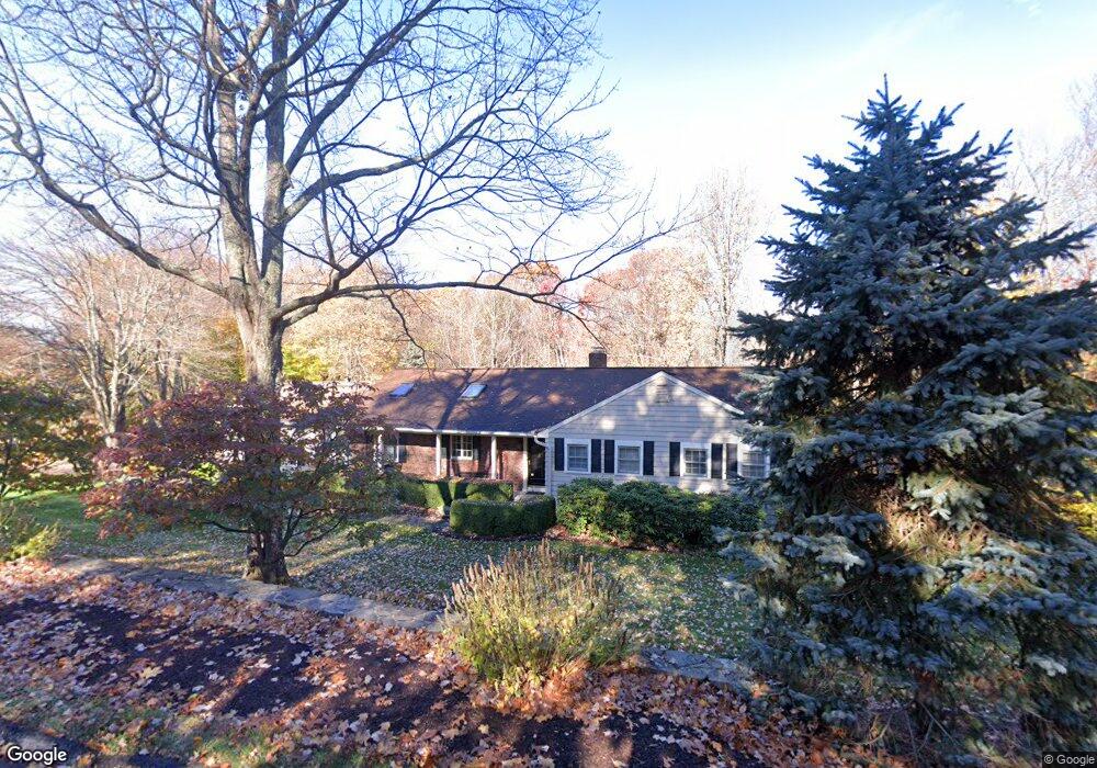
18 High Ridge Rd Brookfield, CT 06804
Estimated Value: $617,000 - $703,000
3
Beds
3
Baths
2,168
Sq Ft
$306/Sq Ft
Est. Value
About This Home
This home is located at 18 High Ridge Rd, Brookfield, CT 06804 and is currently estimated at $663,679, approximately $306 per square foot. 18 High Ridge Rd is a home located in Fairfield County with nearby schools including Whisconier Middle School, Brookfield High School, and Montessori Community School at Brookfield.
Ownership History
Date
Name
Owned For
Owner Type
Purchase Details
Closed on
Apr 8, 2021
Sold by
Ohara Mitchel J and Ohara Ruth L
Bought by
Chengeri Michael A and Chengeri Sandra R
Current Estimated Value
Home Financials for this Owner
Home Financials are based on the most recent Mortgage that was taken out on this home.
Original Mortgage
$340,000
Outstanding Balance
$306,483
Interest Rate
2.9%
Mortgage Type
Purchase Money Mortgage
Estimated Equity
$357,196
Purchase Details
Closed on
Jul 15, 1992
Sold by
Sweeney Joseph and Sweeney Susan
Bought by
O'Hara Mitchel and O'Hara Ruth
Home Financials for this Owner
Home Financials are based on the most recent Mortgage that was taken out on this home.
Original Mortgage
$175,000
Interest Rate
8.54%
Mortgage Type
Unknown
Create a Home Valuation Report for This Property
The Home Valuation Report is an in-depth analysis detailing your home's value as well as a comparison with similar homes in the area
Home Values in the Area
Average Home Value in this Area
Purchase History
| Date | Buyer | Sale Price | Title Company |
|---|---|---|---|
| Chengeri Michael A | $425,000 | None Available | |
| Chengeri Michael A | $425,000 | None Available | |
| O'Hara Mitchel | $250,000 | -- | |
| O'Hara Mitchel | $250,000 | -- |
Source: Public Records
Mortgage History
| Date | Status | Borrower | Loan Amount |
|---|---|---|---|
| Open | Chengeri Michael A | $340,000 | |
| Closed | Chengeri Michael A | $340,000 | |
| Previous Owner | O'Hara Mitchel | $250,000 | |
| Previous Owner | O'Hara Mitchel | $150,000 | |
| Previous Owner | O'Hara Mitchel | $175,000 |
Source: Public Records
Tax History
| Year | Tax Paid | Tax Assessment Tax Assessment Total Assessment is a certain percentage of the fair market value that is determined by local assessors to be the total taxable value of land and additions on the property. | Land | Improvement |
|---|---|---|---|---|
| 2025 | $10,191 | $352,280 | $103,380 | $248,900 |
| 2024 | $9,829 | $352,280 | $103,380 | $248,900 |
| 2023 | $9,462 | $352,280 | $103,380 | $248,900 |
| 2022 | $9,117 | $352,280 | $103,380 | $248,900 |
| 2021 | $8,122 | $269,820 | $114,870 | $154,950 |
| 2020 | $8,000 | $269,820 | $114,870 | $154,950 |
| 2019 | $5,375 | $269,820 | $114,870 | $154,950 |
| 2018 | $7,647 | $269,820 | $114,870 | $154,950 |
| 2017 | $7,363 | $269,820 | $114,870 | $154,950 |
| 2016 | $7,139 | $270,420 | $130,150 | $140,270 |
| 2015 | $6,950 | $270,420 | $130,150 | $140,270 |
| 2014 | $6,950 | $270,420 | $130,150 | $140,270 |
Source: Public Records
Map
Nearby Homes
- 23 Sunset Hill Rd
- 29 Ledgewood Dr
- 5 Woodland Hills Terrace
- 70 Obtuse Hill Rd
- 6 Comstock Trail Unit 6
- 112 A Stony Hill Rd
- 19 A Apache Dr
- 99 Obtuse Hill Rd
- 6 Lyndenwood Dr
- 4 Arlington Ct
- 1 Essex Ct Unit 1
- 18 Dean Rd
- 12 Oak Crest Dr
- 5 Bramble Way Unit Homesite 76
- 5 Bramble Way
- 6 Bramble Way
- 2 Bramble Way
- 7 Bramble Way Unit Homesite 75
- 7 Bramble Way
- 43 Bramble Way
- 16 High Ridge Rd
- 20 High Ridge Rd
- 22 High Ridge Rd
- 15 High Ridge Rd
- 17 High Ridge Rd
- 11 N Beech Tree Rd
- 24 High Ridge Rd
- 13 High Ridge Rd
- 21 High Ridge Rd
- 14 High Ridge Rd
- 19 High Ridge Rd
- 19 N Beech Tree Rd
- 13 N Beech Tree Rd
- 26 High Ridge Rd
- 23 High Ridge Rd
- 12 High Ridge Rd
- 16 Overlook Dr
- 18 Overlook Dr
- 25 High Ridge Rd
- 14 Overlook Dr
Your Personal Tour Guide
Ask me questions while you tour the home.