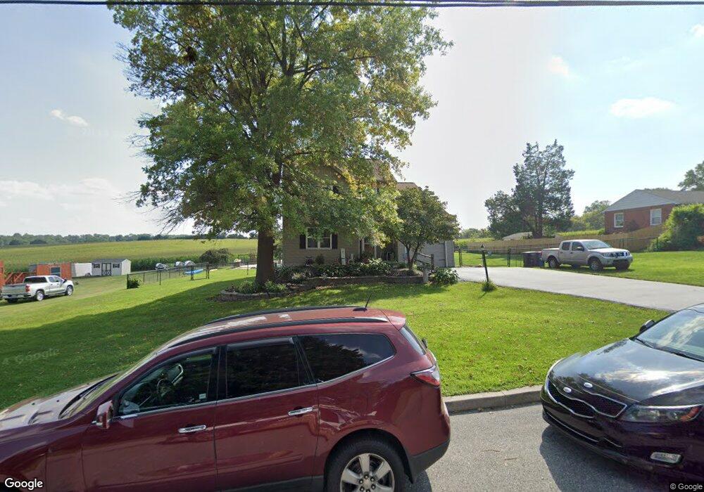
18 Hoover Rd Lancaster, PA 17603
Meadia Heights NeighborhoodEstimated Value: $365,000 - $427,000
4
Beds
2
Baths
1,692
Sq Ft
$238/Sq Ft
Est. Value
About This Home
This home is located at 18 Hoover Rd, Lancaster, PA 17603 and is currently estimated at $402,005, approximately $237 per square foot. 18 Hoover Rd is a home located in Lancaster County with nearby schools including Elizabeth R Martin Elementary School, Wheatland Middle School, and McCaskey High School.
Ownership History
Date
Name
Owned For
Owner Type
Purchase Details
Closed on
Jul 19, 1999
Sold by
Fokas Maurice S and Fokas Frances N
Bought by
Fisher Patricia A and Wolf Melissa A
Current Estimated Value
Home Financials for this Owner
Home Financials are based on the most recent Mortgage that was taken out on this home.
Original Mortgage
$120,555
Outstanding Balance
$33,315
Interest Rate
7.39%
Estimated Equity
$368,690
Create a Home Valuation Report for This Property
The Home Valuation Report is an in-depth analysis detailing your home's value as well as a comparison with similar homes in the area
Home Values in the Area
Average Home Value in this Area
Purchase History
| Date | Buyer | Sale Price | Title Company |
|---|---|---|---|
| Fisher Patricia A | $126,900 | -- |
Source: Public Records
Mortgage History
| Date | Status | Borrower | Loan Amount |
|---|---|---|---|
| Open | Fisher Patricia A | $120,555 |
Source: Public Records
Tax History Compared to Growth
Tax History
| Year | Tax Paid | Tax Assessment Tax Assessment Total Assessment is a certain percentage of the fair market value that is determined by local assessors to be the total taxable value of land and additions on the property. | Land | Improvement |
|---|---|---|---|---|
| 2025 | $5,814 | $201,600 | $51,400 | $150,200 |
| 2024 | $5,814 | $201,600 | $51,400 | $150,200 |
| 2023 | $5,680 | $201,600 | $51,400 | $150,200 |
| 2022 | $5,341 | $201,600 | $51,400 | $150,200 |
| 2021 | $5,180 | $201,600 | $51,400 | $150,200 |
| 2020 | $5,180 | $201,600 | $51,400 | $150,200 |
| 2019 | $5,070 | $201,600 | $51,400 | $150,200 |
| 2018 | $3,863 | $201,600 | $51,400 | $150,200 |
| 2017 | $4,992 | $152,700 | $34,200 | $118,500 |
| 2016 | $4,900 | $152,700 | $34,200 | $118,500 |
| 2015 | $662 | $152,700 | $34,200 | $118,500 |
| 2014 | $3,647 | $152,700 | $34,200 | $118,500 |
Source: Public Records
Map
Nearby Homes
- 11 Clarendon Dr
- 303 Pennshire Dr
- 407 Dickens Dr
- 196 Eckman Rd
- 204 Pennshire Dr
- 202 Pennshire Dr
- 884 Sterling Place
- 645 N Pier Dr
- 1823 Divot Ct
- 1132 Willow Street Pike
- 406 Wendover Way
- 1826 Putter Ave
- 206 Meadia Ave
- 716 Euclid Ave
- 1014 Willow Street Pike Unit 8
- 825 S Pearl St
- 110 Hillard
- 843 Lucilla Ct
- 833 Marjory Terrace
- 56 Greenwood Ave