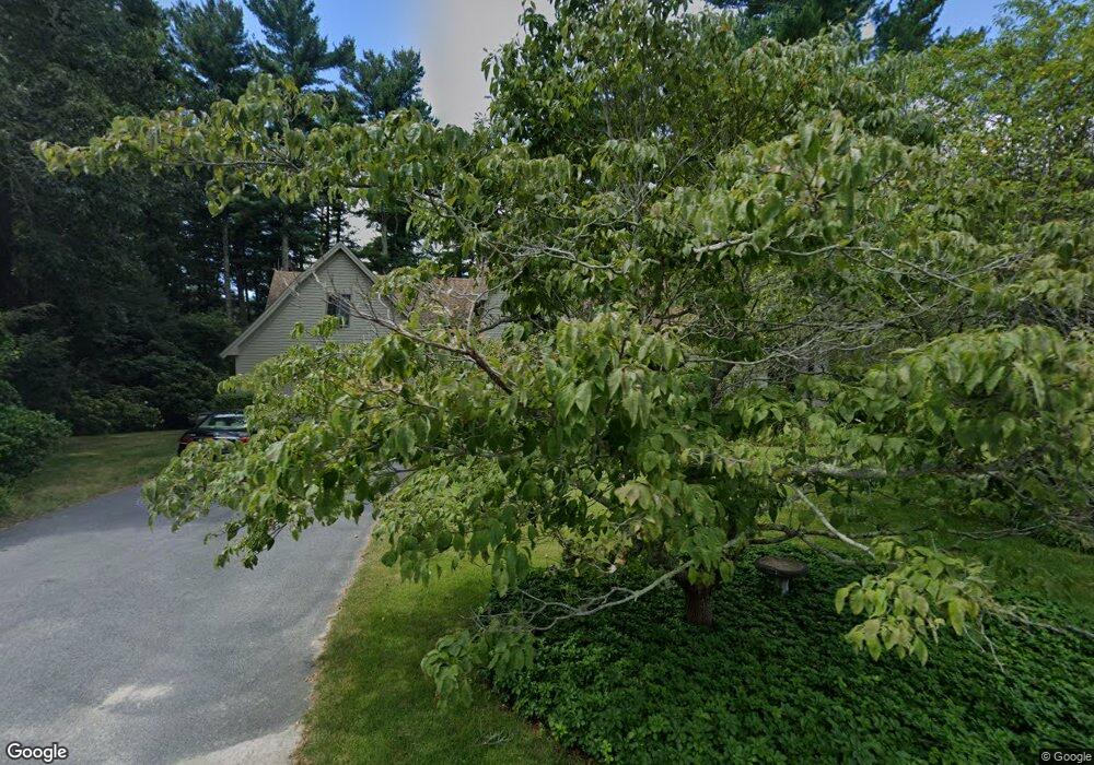
18 Island Brook Dr West Wareham, MA 02576
Estimated Value: $781,525 - $841,000
4
Beds
3
Baths
3,054
Sq Ft
$270/Sq Ft
Est. Value
About This Home
This home is located at 18 Island Brook Dr, West Wareham, MA 02576 and is currently estimated at $823,881, approximately $269 per square foot. 18 Island Brook Dr is a home located in Plymouth County.
Ownership History
Date
Name
Owned For
Owner Type
Purchase Details
Closed on
Jan 2, 2014
Sold by
Kingsbury Byron C and Kingsbury P A
Bought by
Kingsbury Byron C and Kingsbury Paula A
Current Estimated Value
Purchase Details
Closed on
Nov 10, 2006
Sold by
Kingsbury Byron Curt
Bought by
Kingsbur Byron C and Kingsbur Aula
Create a Home Valuation Report for This Property
The Home Valuation Report is an in-depth analysis detailing your home's value as well as a comparison with similar homes in the area
Home Values in the Area
Average Home Value in this Area
Purchase History
| Date | Buyer | Sale Price | Title Company |
|---|---|---|---|
| Kingsbury Byron C | -- | -- | |
| Kingsbury Byron C | -- | -- | |
| Kingsbur Byron C | -- | -- | |
| Paula Byron C | -- | -- |
Source: Public Records
Mortgage History
| Date | Status | Borrower | Loan Amount |
|---|---|---|---|
| Previous Owner | Paula Byron C | $104,000 | |
| Previous Owner | Paula Byron C | $145,000 |
Source: Public Records
Tax History Compared to Growth
Tax History
| Year | Tax Paid | Tax Assessment Tax Assessment Total Assessment is a certain percentage of the fair market value that is determined by local assessors to be the total taxable value of land and additions on the property. | Land | Improvement |
|---|---|---|---|---|
| 2025 | $8,382 | $804,400 | $143,400 | $661,000 |
| 2024 | $8,810 | $784,500 | $115,000 | $669,500 |
| 2023 | $8,295 | $681,300 | $104,500 | $576,800 |
| 2022 | $8,295 | $629,400 | $104,500 | $524,900 |
| 2021 | $7,069 | $525,600 | $104,500 | $421,100 |
| 2020 | $6,478 | $488,500 | $104,500 | $384,000 |
| 2019 | $6,238 | $469,400 | $110,500 | $358,900 |
| 2018 | $6,398 | $469,400 | $110,500 | $358,900 |
| 2017 | $6,015 | $447,200 | $110,500 | $336,700 |
| 2016 | $5,504 | $406,800 | $111,000 | $295,800 |
| 2015 | $5,462 | $417,900 | $111,000 | $306,900 |
| 2014 | $5,594 | $435,300 | $121,000 | $314,300 |
Source: Public Records
Map
Nearby Homes
- 16 Island Brook Dr
- 15 Island Brook Dr
- 17 Island Brook Dr
- 20 Island Brook Dr
- 13 Island Brook Dr
- 14 Island Brook Dr
- 19 Island Brook Dr
- 11 Island Brook Dr
- 12 Island Brook Dr
- 9 Island Brook Dr
- 10 Island Brook Dr
- 7 Island Brook Dr
- 5 Island Brook Dr
- 8 Island Brook Dr
- 6 Island Brook Dr
- 47 Fearing Hill Rd
- 3 Island Brook Dr
- 55 Fearing Hill Rd
- 4 Island Brook Dr
- 1 Island Brook Dr