18 Jay Ln Limerick, ME 04048
Estimated Value: $364,000 - $470,000
Studio
--
Bath
864
Sq Ft
$489/Sq Ft
Est. Value
About This Home
This home is located at 18 Jay Ln, Limerick, ME 04048 and is currently estimated at $422,690, approximately $489 per square foot. 18 Jay Ln is a home with nearby schools including Massabesic High School.
Ownership History
Date
Name
Owned For
Owner Type
Purchase Details
Closed on
Nov 5, 2018
Sold by
Provencher Gary L and Provencher Erin M
Bought by
Graffam Brian L and Graffam Heather R
Current Estimated Value
Home Financials for this Owner
Home Financials are based on the most recent Mortgage that was taken out on this home.
Original Mortgage
$512,000
Outstanding Balance
$446,535
Interest Rate
4.6%
Mortgage Type
Purchase Money Mortgage
Estimated Equity
-$23,845
Create a Home Valuation Report for This Property
The Home Valuation Report is an in-depth analysis detailing your home's value as well as a comparison with similar homes in the area
Home Values in the Area
Average Home Value in this Area
Purchase History
| Date | Buyer | Sale Price | Title Company |
|---|---|---|---|
| Graffam Brian L | -- | -- |
Source: Public Records
Mortgage History
| Date | Status | Borrower | Loan Amount |
|---|---|---|---|
| Open | Graffam Brian L | $512,000 |
Source: Public Records
Tax History
| Year | Tax Paid | Tax Assessment Tax Assessment Total Assessment is a certain percentage of the fair market value that is determined by local assessors to be the total taxable value of land and additions on the property. | Land | Improvement |
|---|---|---|---|---|
| 2025 | $3,902 | $410,691 | $89,704 | $320,987 |
| 2024 | $3,902 | $410,691 | $89,704 | $320,987 |
| 2023 | $4,107 | $270,193 | $45,100 | $225,093 |
| 2022 | $3,837 | $270,192 | $45,100 | $225,092 |
| 2021 | $3,588 | $216,154 | $36,080 | $180,074 |
| 2020 | $3,545 | $216,154 | $36,080 | $180,074 |
| 2019 | $3,404 | $216,154 | $36,080 | $180,074 |
| 2018 | $3,491 | $216,154 | $36,080 | $180,074 |
| 2017 | $3,404 | $216,154 | $36,080 | $180,074 |
| 2016 | $3,253 | $216,154 | $36,080 | $180,074 |
| 2015 | $3,156 | $216,154 | $36,080 | $180,074 |
| 2014 | $3,059 | $216,154 | $36,080 | $180,074 |
Source: Public Records
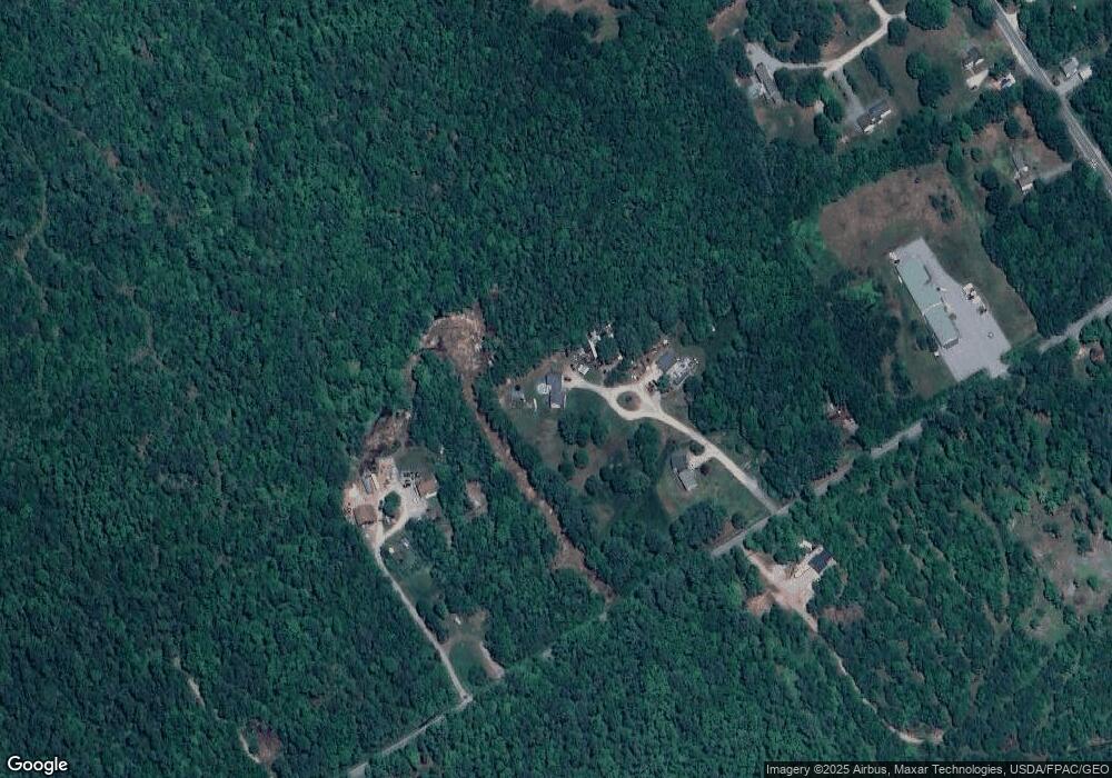
Map
Nearby Homes
- TBD Sokokis Trail & Beaver Brook Rd
- TBB Sokokis Trail & Beaver Brook Rd
- 0 Island Rd Unit 1643509
- 240 Leisure Ln
- 54 Raptor Ridge Rd
- 4 Deer Crossing Rd
- 148 Beaver Brook Rd
- 175 Deer Crossing Rd
- 60 Edge Hill Rd
- LOT# 8 Business Park Rd
- Lot# 11 Business Park Rd
- 3 Division Rd
- Lot 6J Range East Rd
- 545 Foss Rd
- TBD Division Dr
- 59 Crescent Dr
- 26 Old Country Way
- 515 Range East Rd
- 157 Silver Ln
- 0 Quarry Rd
Your Personal Tour Guide
Ask me questions while you tour the home.