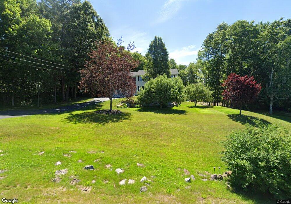
18 Juniper Dr Goffstown, NH 03045
Estimated Value: $683,000 - $764,000
3
Beds
3
Baths
2,574
Sq Ft
$280/Sq Ft
Est. Value
About This Home
This home is located at 18 Juniper Dr, Goffstown, NH 03045 and is currently estimated at $720,940, approximately $280 per square foot. 18 Juniper Dr is a home with nearby schools including Mountain View Middle School, Goffstown High School, and Namaste Montessori School.
Ownership History
Date
Name
Owned For
Owner Type
Purchase Details
Closed on
May 3, 2022
Sold by
June Goss Lt and Brosseau
Bought by
Dalton Robert P and Dalton Laurie
Current Estimated Value
Create a Home Valuation Report for This Property
The Home Valuation Report is an in-depth analysis detailing your home's value as well as a comparison with similar homes in the area
Home Values in the Area
Average Home Value in this Area
Purchase History
| Date | Buyer | Sale Price | Title Company |
|---|---|---|---|
| Dalton Robert P | $35,000 | None Available | |
| Dalton Robert P | $35,000 | None Available |
Source: Public Records
Tax History
| Year | Tax Paid | Tax Assessment Tax Assessment Total Assessment is a certain percentage of the fair market value that is determined by local assessors to be the total taxable value of land and additions on the property. | Land | Improvement |
|---|---|---|---|---|
| 2025 | $12,138 | $581,300 | $211,400 | $369,900 |
| 2024 | $11,892 | $581,800 | $211,900 | $369,900 |
| 2023 | $10,973 | $581,800 | $211,900 | $369,900 |
| 2022 | $9,790 | $372,100 | $136,600 | $235,500 |
| 2021 | $8,124 | $327,300 | $136,600 | $190,700 |
| 2020 | $8,124 | $327,300 | $136,600 | $190,700 |
| 2019 | $8,045 | $327,300 | $136,600 | $190,700 |
| 2018 | $6,088 | $327,300 | $136,600 | $190,700 |
| 2017 | $7,628 | $278,200 | $112,200 | $166,000 |
| 2016 | $7,353 | $278,200 | $112,200 | $166,000 |
| 2015 | $7,353 | $261,100 | $102,200 | $158,900 |
| 2014 | $6,963 | $257,900 | $102,200 | $155,700 |
Source: Public Records
Map
Nearby Homes
- 19 My Way
- 179 Donald Dr
- 144 S Mast St
- 5D Dearborn Cir
- 0 Mast Rd Unit 49 5054665
- 73 River Ledge Dr
- 6 Mustang Ct
- 3C Dearborn Cir
- 3A Dearborn Cir
- 3B Dearborn Cir
- 5B Dearborn Cir
- 4B Dearborn Cir
- 11-1 Chatel Rd
- 4C Dearborn Cir
- 30 Horizon Dr
- 234 Paige Hill Rd
- 140 S Mast St
- 120 S Mast St
- 11 E Dunbarton Rd
- 3 Timberwood Dr Unit 301
Your Personal Tour Guide
Ask me questions while you tour the home.