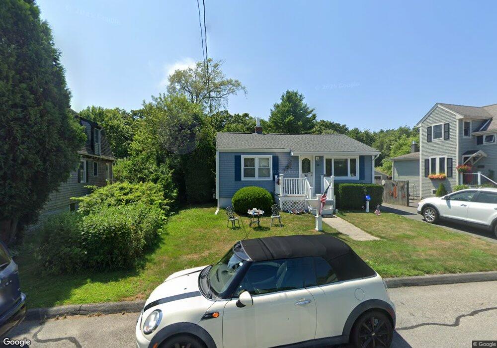
18 Kane St Fairhaven, MA 02719
East Fairhaven NeighborhoodEstimated Value: $400,000 - $443,000
2
Beds
1
Bath
970
Sq Ft
$437/Sq Ft
Est. Value
About This Home
This home is located at 18 Kane St, Fairhaven, MA 02719 and is currently estimated at $423,660, approximately $436 per square foot. 18 Kane St is a home located in Bristol County with nearby schools including Fairhaven High School, City On A Hill Charter Public School New Bedford, and St. Joseph School.
Ownership History
Date
Name
Owned For
Owner Type
Purchase Details
Closed on
Aug 25, 1992
Sold by
Harrison Arnold E and Harrison Karen K
Bought by
Mercer Robert H and Mercer Carol A
Current Estimated Value
Home Financials for this Owner
Home Financials are based on the most recent Mortgage that was taken out on this home.
Original Mortgage
$70,000
Interest Rate
8.12%
Mortgage Type
Purchase Money Mortgage
Create a Home Valuation Report for This Property
The Home Valuation Report is an in-depth analysis detailing your home's value as well as a comparison with similar homes in the area
Home Values in the Area
Average Home Value in this Area
Purchase History
| Date | Buyer | Sale Price | Title Company |
|---|---|---|---|
| Mercer Robert H | $78,000 | -- |
Source: Public Records
Mortgage History
| Date | Status | Borrower | Loan Amount |
|---|---|---|---|
| Open | Mercer Robert H | $114,600 | |
| Closed | Mercer Robert H | $68,450 | |
| Closed | Mercer Robert H | $70,000 |
Source: Public Records
Tax History Compared to Growth
Tax History
| Year | Tax Paid | Tax Assessment Tax Assessment Total Assessment is a certain percentage of the fair market value that is determined by local assessors to be the total taxable value of land and additions on the property. | Land | Improvement |
|---|---|---|---|---|
| 2025 | $33 | $357,400 | $175,400 | $182,000 |
| 2024 | $3,120 | $338,000 | $175,400 | $162,600 |
| 2023 | $2,981 | $299,600 | $153,600 | $146,000 |
| 2022 | $2,824 | $276,300 | $142,700 | $133,600 |
| 2021 | $2,702 | $239,300 | $129,200 | $110,100 |
| 2020 | $2,647 | $239,300 | $129,200 | $110,100 |
| 2019 | $2,507 | $214,800 | $107,100 | $107,700 |
| 2018 | $2,396 | $203,900 | $102,000 | $101,900 |
| 2017 | $2,395 | $198,900 | $102,000 | $96,900 |
| 2016 | $2,364 | $194,100 | $102,000 | $92,100 |
| 2015 | $2,317 | $190,700 | $102,000 | $88,700 |
Source: Public Records
Map
Nearby Homes
- 20 Forestview Dr
- 421 Huttleston Ave
- 3 Brandt Island Rd
- 706 Ocean Meadows
- 83 Fairhaven Rd
- 0 Whalers Way
- 280 Bridge St Lot1
- 47 Fairhaven Rd
- 312 New Boston Rd
- 450 Bridge St
- 6 Meadowbrook Ln
- 70 Hathaway St
- 22 John St
- 41 Starboard Way
- 1 Starboard Way
- 28 Brandt Beach Ave
- 190 Sconticut Neck Rd
- 0 Marina Dr Unit 72497908
- 0 Marina Dr Unit 72497877
- 3 Harbor Mist Dr