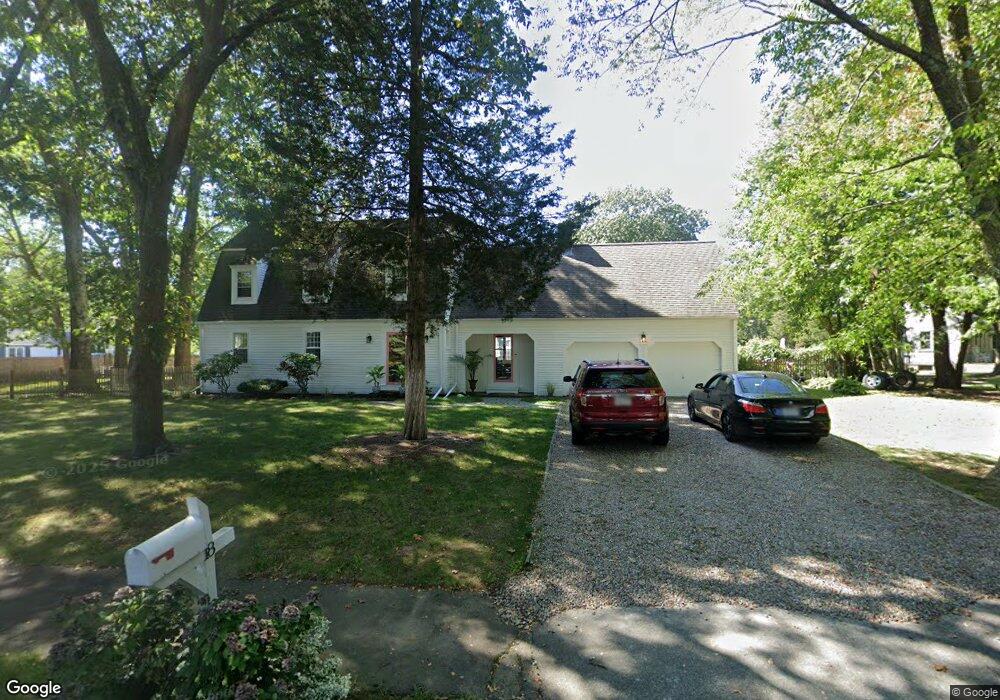
18 Kathys Path Scituate, MA 02066
Estimated Value: $977,000 - $1,229,000
4
Beds
3
Baths
2,408
Sq Ft
$470/Sq Ft
Est. Value
About This Home
This home is located at 18 Kathys Path, Scituate, MA 02066 and is currently estimated at $1,130,663, approximately $469 per square foot. 18 Kathys Path is a home located in Plymouth County with nearby schools including Hatherly Elementary School, Lester J. Gates Middle School, and Scituate High School.
Ownership History
Date
Name
Owned For
Owner Type
Purchase Details
Closed on
Aug 4, 2025
Sold by
Ward Karen M
Bought by
Ward Karen M and Medici Charles
Current Estimated Value
Purchase Details
Closed on
Jun 16, 1997
Sold by
Wellesley Mtg Corp
Bought by
Ward Karen M
Purchase Details
Closed on
Feb 9, 1988
Sold by
Obrien John D
Bought by
Ward Karen M
Create a Home Valuation Report for This Property
The Home Valuation Report is an in-depth analysis detailing your home's value as well as a comparison with similar homes in the area
Home Values in the Area
Average Home Value in this Area
Purchase History
| Date | Buyer | Sale Price | Title Company |
|---|---|---|---|
| Ward Karen M | -- | -- | |
| Ward Karen M | -- | -- | |
| Ward Karen M | $215,000 | -- | |
| Ward Karen M | $215,000 | -- | |
| Ward Karen M | $301,000 | -- |
Source: Public Records
Mortgage History
| Date | Status | Borrower | Loan Amount |
|---|---|---|---|
| Previous Owner | Ward Karen M | $100,000 | |
| Previous Owner | Ward Karen M | $485,000 |
Source: Public Records
Tax History
| Year | Tax Paid | Tax Assessment Tax Assessment Total Assessment is a certain percentage of the fair market value that is determined by local assessors to be the total taxable value of land and additions on the property. | Land | Improvement |
|---|---|---|---|---|
| 2025 | $9,011 | $902,000 | $415,500 | $486,500 |
| 2024 | $8,860 | $855,200 | $377,700 | $477,500 |
| 2023 | $8,688 | $791,200 | $343,400 | $447,800 |
| 2022 | $8,688 | $688,400 | $309,600 | $378,800 |
| 2021 | $8,597 | $644,900 | $308,900 | $336,000 |
| 2020 | $8,397 | $622,000 | $297,000 | $325,000 |
| 2019 | $8,225 | $598,600 | $291,200 | $307,400 |
| 2018 | $7,861 | $563,500 | $287,000 | $276,500 |
| 2017 | $7,642 | $542,400 | $276,000 | $266,400 |
| 2016 | $7,357 | $520,300 | $253,900 | $266,400 |
| 2015 | $6,671 | $509,200 | $242,800 | $266,400 |
Source: Public Records
Map
Nearby Homes
- 26 Mordecai Lincoln Rd
- 7 3 Ring Rd
- 701 Country Way
- 38 Booth Hill Rd
- 799 Country Way
- 7 Border St
- 817 Country Way
- 9 Forest Ln Unit 9
- 124 Captain Peirce Rd
- 49 Whittier Dr
- 89 Indian Trail
- 71 Ledgewood Dr
- 32 Ann Vinal Rd
- 430 Hatherly Rd
- 430 Hatherly Rd Unit Exhibit “A”
- 430 Hatherly Rd Unit Exhibit “B”
- 96 Black Horse Ln
- 59 Captain Peirce Rd
- 27 Curtis St
- 70 Black Horse Ln
Your Personal Tour Guide
Ask me questions while you tour the home.