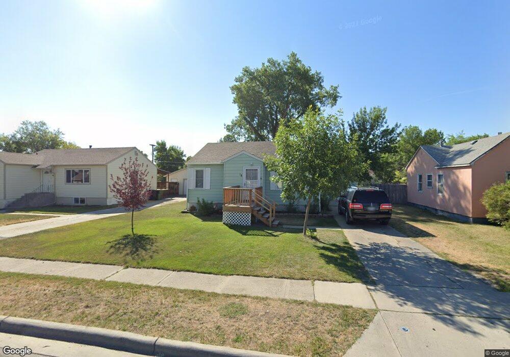
18 Macarthur Ave Billings, MT 59101
South Central Billings NeighborhoodEstimated Value: $238,000 - $283,000
3
Beds
1
Bath
1,664
Sq Ft
$157/Sq Ft
Est. Value
About This Home
This home is located at 18 Macarthur Ave, Billings, MT 59101 and is currently estimated at $260,705, approximately $156 per square foot. 18 Macarthur Ave is a home located in Yellowstone County with nearby schools including Newman School, Riverside Junior High School, and Billings West High School.
Ownership History
Date
Name
Owned For
Owner Type
Purchase Details
Closed on
Oct 11, 2019
Sold by
Lidstrom Cody M and Lindstrom Jacqueline M
Bought by
Newman Tiara
Current Estimated Value
Home Financials for this Owner
Home Financials are based on the most recent Mortgage that was taken out on this home.
Original Mortgage
$159,493
Outstanding Balance
$139,724
Interest Rate
3.5%
Mortgage Type
FHA
Estimated Equity
$120,981
Purchase Details
Closed on
Apr 3, 2009
Sold by
Chenoweth Tanner J
Bought by
Lidstron Cody and Lidstron Jackie
Purchase Details
Closed on
Jul 1, 2005
Sold by
Albert Judy K and Albert Orvin Joe
Bought by
Lindstrom Cody and Becktold Jacqueline M
Home Financials for this Owner
Home Financials are based on the most recent Mortgage that was taken out on this home.
Original Mortgage
$94,579
Interest Rate
5.65%
Mortgage Type
FHA
Create a Home Valuation Report for This Property
The Home Valuation Report is an in-depth analysis detailing your home's value as well as a comparison with similar homes in the area
Home Values in the Area
Average Home Value in this Area
Purchase History
| Date | Buyer | Sale Price | Title Company |
|---|---|---|---|
| Newman Tiara | -- | Chicago Title | |
| Lidstron Cody | -- | None Available | |
| Lindstrom Cody | -- | None Available |
Source: Public Records
Mortgage History
| Date | Status | Borrower | Loan Amount |
|---|---|---|---|
| Open | Newman Tiara | $159,493 | |
| Previous Owner | Lindstrom Cody | $94,579 |
Source: Public Records
Tax History
| Year | Tax Paid | Tax Assessment Tax Assessment Total Assessment is a certain percentage of the fair market value that is determined by local assessors to be the total taxable value of land and additions on the property. | Land | Improvement |
|---|---|---|---|---|
| 2025 | $2,204 | $232,800 | $39,506 | $193,294 |
| 2024 | $2,204 | $211,600 | $38,891 | $172,709 |
| 2023 | $2,160 | $211,600 | $38,891 | $172,709 |
| 2022 | $1,948 | $170,300 | $0 | $0 |
| 2021 | $1,857 | $170,300 | $0 | $0 |
| 2020 | $1,798 | $156,400 | $0 | $0 |
| 2019 | $1,717 | $156,400 | $0 | $0 |
| 2018 | $1,561 | $138,600 | $0 | $0 |
| 2017 | $1,517 | $138,600 | $0 | $0 |
| 2016 | $1,488 | $138,200 | $0 | $0 |
| 2015 | $1,465 | $138,200 | $0 | $0 |
| 2014 | $1,313 | $65,084 | $0 | $0 |
Source: Public Records
Map
Nearby Homes
- 336 Foster Ln
- 226 Moore Ln
- 1204 Eldorado Dr
- 4642 Mitchell Ave
- 307 S Billings Blvd Unit 24
- 307 S Billings Blvd Unit 36
- 43 Prickett Ln
- 4531 Phillip St
- 1315 Cook Ave
- 1245 Cook Ave
- 5327 Frontier Dr Unit 2
- 4413 Ryan Ave
- 1120 Miles Ave
- 117 Birchwood Dr
- 947 Howard Ave
- 4429 Clevenger Ave
- 15 S Crestwood Dr
- 449 Orchard Ln
- 421 14th St W
- 632 Saint Johns Ave Unit 8
- 16 Mac Arthur Ave
- 16 Macarthur Ave
- 20 Macarthur Ave
- 14 Macarthur Ave
- 22 Macarthur Ave
- 9 Berg Ave
- 11 Berg Ave
- 7 Berg Ave
- 13 Berg Ave
- 24 Macarthur Ave
- 5 Berg Ave
- 15 Macarthur Ave
- 17 Macarthur Ave
- 12 Macarthur Ave
- 10 Nimitz Dr
- 19 Macarthur Ave
- 13 Macarthur Ave
- 15 Berg Ave
- 11 Macarthur Ave
- 21 Macarthur Ave
Your Personal Tour Guide
Ask me questions while you tour the home.