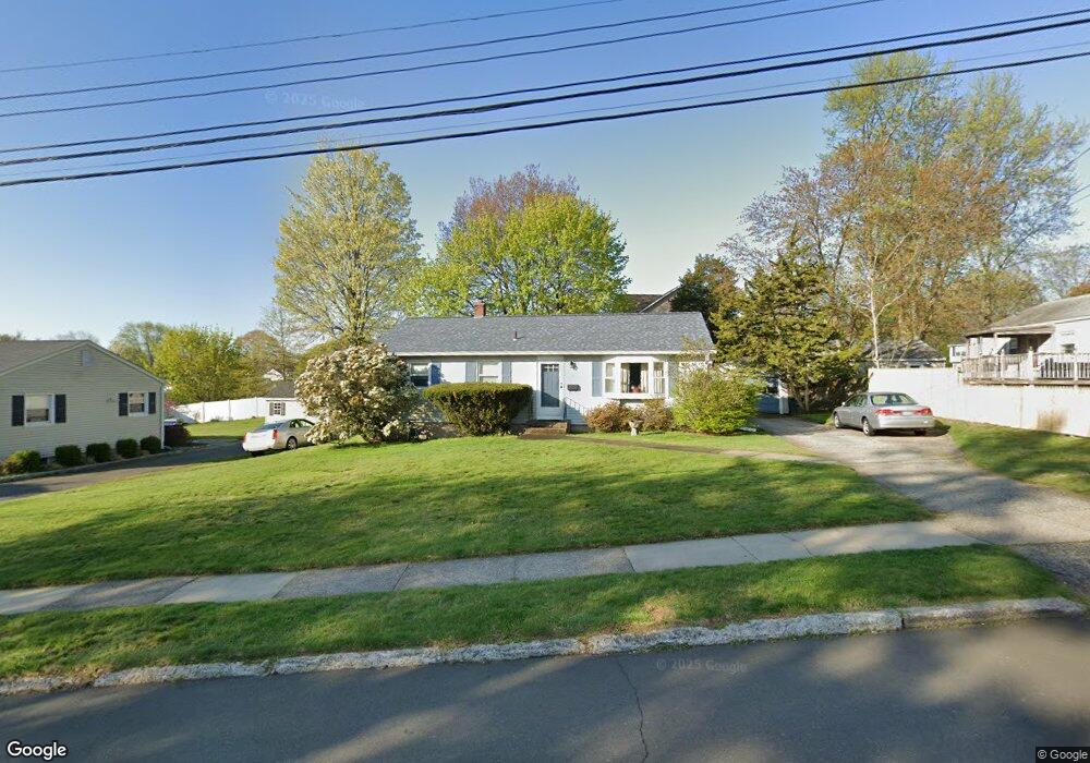
18 Macintosh Rd Milford, CT 06460
Woodmont NeighborhoodEstimated Value: $424,543 - $464,000
3
Beds
1
Bath
1,008
Sq Ft
$433/Sq Ft
Est. Value
About This Home
This home is located at 18 Macintosh Rd, Milford, CT 06460 and is currently estimated at $436,136, approximately $432 per square foot. 18 Macintosh Rd is a home located in New Haven County with nearby schools including Orchard Hills School, East Shore Middle School, and Joseph A. Foran High School.
Ownership History
Date
Name
Owned For
Owner Type
Purchase Details
Closed on
Nov 27, 1990
Sold by
Poulton Kenneth
Bought by
Ciotti Sally A
Current Estimated Value
Home Financials for this Owner
Home Financials are based on the most recent Mortgage that was taken out on this home.
Original Mortgage
$42,000
Interest Rate
10.19%
Mortgage Type
Purchase Money Mortgage
Create a Home Valuation Report for This Property
The Home Valuation Report is an in-depth analysis detailing your home's value as well as a comparison with similar homes in the area
Home Values in the Area
Average Home Value in this Area
Purchase History
| Date | Buyer | Sale Price | Title Company |
|---|---|---|---|
| Ciotti Sally A | $142,000 | -- |
Source: Public Records
Mortgage History
| Date | Status | Borrower | Loan Amount |
|---|---|---|---|
| Closed | Ciotti Sally A | $40,000 | |
| Closed | Ciotti Sally A | $42,000 |
Source: Public Records
Tax History Compared to Growth
Tax History
| Year | Tax Paid | Tax Assessment Tax Assessment Total Assessment is a certain percentage of the fair market value that is determined by local assessors to be the total taxable value of land and additions on the property. | Land | Improvement |
|---|---|---|---|---|
| 2025 | $6,121 | $207,150 | $99,690 | $107,460 |
| 2024 | $6,036 | $207,150 | $99,690 | $107,460 |
| 2023 | $5,628 | $207,150 | $99,690 | $107,460 |
| 2022 | $5,521 | $207,150 | $99,690 | $107,460 |
| 2021 | $4,802 | $173,660 | $70,350 | $103,310 |
| 2020 | $4,807 | $173,660 | $70,350 | $103,310 |
| 2019 | $4,812 | $173,660 | $70,350 | $103,310 |
| 2018 | $4,817 | $173,660 | $70,350 | $103,310 |
| 2017 | $4,826 | $173,660 | $70,350 | $103,310 |
| 2016 | $4,808 | $172,710 | $70,350 | $102,360 |
| 2015 | $4,815 | $172,710 | $70,350 | $102,360 |
| 2014 | $4,701 | $172,710 | $70,350 | $102,360 |
Source: Public Records
Map
Nearby Homes
- 200 Marino Dr
- 126 Baxter Ln
- 12 Cardinal Dr
- 25 Carmen Rd
- 62 Long Island View Rd
- 44 Clark Hill Rd
- 470 Pond Point Ave
- 18 Barton Rd
- 647 New Haven Ave
- 40 Devine Place
- 44 Chester St
- 83 Yale Ave
- 822 New Haven Ave
- 97 Carriage Path S Unit 97
- 565 Pond Point Ave
- 571 Pond Point Ave
- 5 Vine St
- 99 Timber Trail
- 44 Beachland Ave
- 12 Nolan Terrace
- 155 Snowapple Ln
- 10 Macintosh Rd
- 165 Snowapple Ln
- 29 Baxter Ln
- 21 Baxter Ln
- 139 Snowapple Ln
- 11 Macintosh Rd
- 171 Snowapple Ln
- 43 Baxter Ln
- 9 Baxter Ln
- 150 Snowapple Ln
- 158 Snowapple Ln
- 144 Snowapple Ln
- 166 Snowapple Ln
- 131 Snowapple Ln
- 49 Baxter Ln
- 170 Snowapple Ln
- 136 Snowapple Ln
- 172 Snowapple Ln
- 280 Pond Point Ave