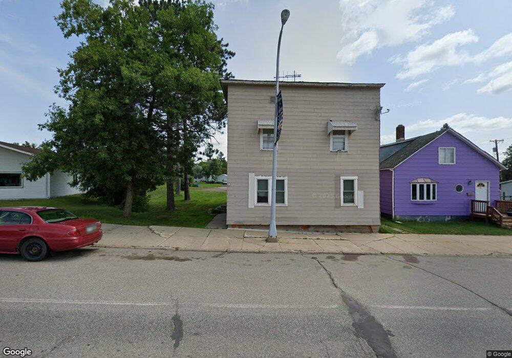
18 Main St N Aurora, MN 55705
Estimated Value: $62,000 - $122,000
2
Beds
1
Bath
768
Sq Ft
$111/Sq Ft
Est. Value
About This Home
This home is located at 18 Main St N, Aurora, MN 55705 and is currently estimated at $85,290, approximately $111 per square foot. 18 Main St N is a home located in St. Louis County with nearby schools including Mesabi East Elementary School and Mesabi East Secondary School.
Ownership History
Date
Name
Owned For
Owner Type
Purchase Details
Closed on
Jun 23, 2014
Sold by
Fields Elaine
Bought by
Hendrickson Gary A and Hendrickson Sharon M
Current Estimated Value
Purchase Details
Closed on
Apr 27, 2012
Sold by
Westerlund Dean Curtis and Westerlund Bronislava
Bought by
Fields Elaine
Purchase Details
Closed on
Dec 13, 2006
Sold by
Tekautz Charles J and Tekautz Nancy C
Bought by
Westerlund Dean Curtis and Westerlund Bronislava
Purchase Details
Closed on
May 31, 2001
Sold by
Gornick Aaron F
Bought by
Tekautz Charles J and Tekautz Nancy C
Home Financials for this Owner
Home Financials are based on the most recent Mortgage that was taken out on this home.
Original Mortgage
$25,000
Interest Rate
7.11%
Mortgage Type
Purchase Money Mortgage
Create a Home Valuation Report for This Property
The Home Valuation Report is an in-depth analysis detailing your home's value as well as a comparison with similar homes in the area
Purchase History
| Date | Buyer | Sale Price | Title Company |
|---|---|---|---|
| Hendrickson Gary A | $21,000 | Northeast Title Company | |
| Fields Elaine | $26,000 | Northeast Title Company | |
| Westerlund Dean Curtis | $25,000 | Northeast Title Company | |
| Tekautz Charles J | $20,000 | -- |
Source: Public Records
Mortgage History
| Date | Status | Borrower | Loan Amount |
|---|---|---|---|
| Previous Owner | Tekautz Charles J | $25,000 |
Source: Public Records
Tax History
| Year | Tax Paid | Tax Assessment Tax Assessment Total Assessment is a certain percentage of the fair market value that is determined by local assessors to be the total taxable value of land and additions on the property. | Land | Improvement |
|---|---|---|---|---|
| 2024 | $246 | $21,300 | $9,300 | $12,000 |
| 2023 | $246 | $21,800 | $9,300 | $12,500 |
| 2022 | $340 | $19,100 | $8,800 | $10,300 |
| 2021 | $336 | $18,100 | $8,300 | $9,800 |
| 2020 | $340 | $18,100 | $8,300 | $9,800 |
| 2019 | $292 | $18,700 | $8,300 | $10,400 |
| 2018 | $270 | $16,600 | $7,800 | $8,800 |
| 2017 | $258 | $14,700 | $7,100 | $7,600 |
| 2016 | $258 | $13,900 | $6,600 | $7,300 |
| 2015 | $111 | $8,200 | $4,100 | $4,100 |
| 2014 | $111 | $8,500 | $4,100 | $4,400 |
Source: Public Records
Map
Nearby Homes
- 15 W 4th Ave N
- 112 W 3rd Ave N
- 213 S 2nd St W
- 213 & 215 W 4th Ave N
- 311 W 2nd Ave N
- 312 S 2nd St W
- 14 E 4th Ave S
- 204 S 5th St E
- 408 S 2nd St E
- 307 S 6th St E
- 421 Main St S
- 522 S 3rd St W
- 5316 Highway 110
- 710 Maple Dr
- TBD South Ave
- TBD Lane 55 County Road 341
- XXXX Road 53
- 140 Patriots Way
- xxxx Deer Forest Rd
- TBD Voyageurs Trail
Your Personal Tour Guide
Ask me questions while you tour the home.