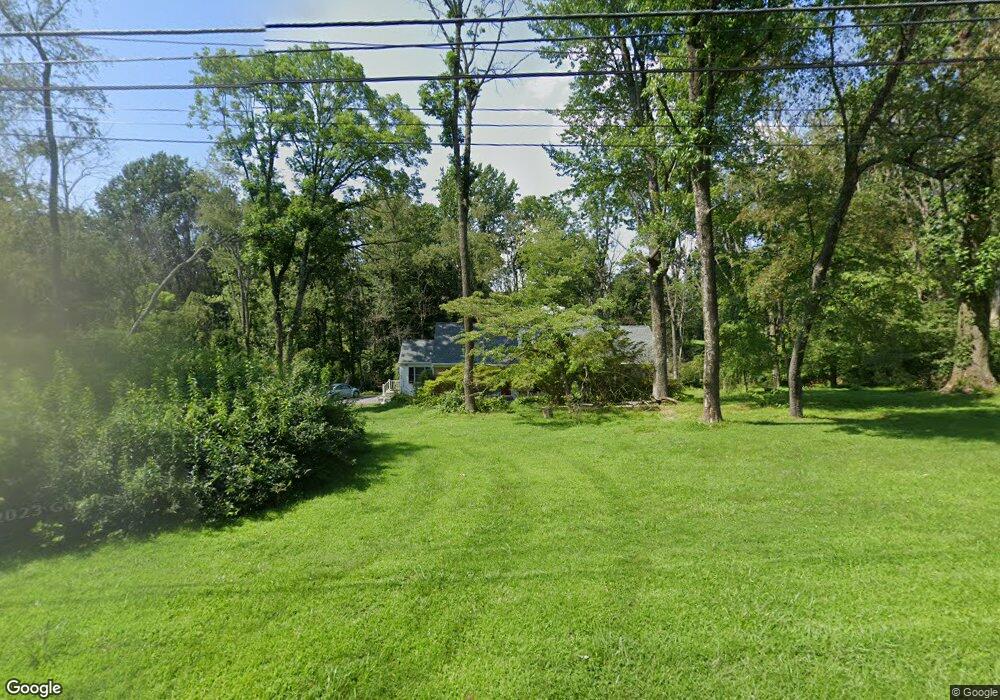
18 Mccarthy Dr Chadds Ford, PA 19317
Estimated Value: $666,000 - $930,000
4
Beds
3
Baths
2,559
Sq Ft
$297/Sq Ft
Est. Value
About This Home
This home is located at 18 Mccarthy Dr, Chadds Ford, PA 19317 and is currently estimated at $758,775, approximately $296 per square foot. 18 Mccarthy Dr is a home located in Chester County with nearby schools including Kennett Middle School, Kennett High School, and St. Patrick School.
Ownership History
Date
Name
Owned For
Owner Type
Purchase Details
Closed on
Sep 25, 2003
Sold by
Savage Ernest C and Savage Sarah T
Bought by
Fisher Champe A and Fisher Anne B
Current Estimated Value
Home Financials for this Owner
Home Financials are based on the most recent Mortgage that was taken out on this home.
Original Mortgage
$255,919
Interest Rate
4.75%
Mortgage Type
Purchase Money Mortgage
Create a Home Valuation Report for This Property
The Home Valuation Report is an in-depth analysis detailing your home's value as well as a comparison with similar homes in the area
Home Values in the Area
Average Home Value in this Area
Purchase History
| Date | Buyer | Sale Price | Title Company |
|---|---|---|---|
| Fisher Champe A | $319,900 | -- |
Source: Public Records
Mortgage History
| Date | Status | Borrower | Loan Amount |
|---|---|---|---|
| Previous Owner | Fisher Champe A | $255,919 |
Source: Public Records
Tax History
| Year | Tax Paid | Tax Assessment Tax Assessment Total Assessment is a certain percentage of the fair market value that is determined by local assessors to be the total taxable value of land and additions on the property. | Land | Improvement |
|---|---|---|---|---|
| 2025 | $9,110 | $223,400 | $62,730 | $160,670 |
| 2024 | $9,110 | $223,400 | $62,730 | $160,670 |
| 2023 | $8,933 | $223,400 | $62,730 | $160,670 |
| 2022 | $8,695 | $223,400 | $62,730 | $160,670 |
| 2021 | $8,564 | $223,400 | $62,730 | $160,670 |
| 2020 | $8,404 | $223,400 | $62,730 | $160,670 |
| 2019 | $8,292 | $223,400 | $62,730 | $160,670 |
| 2018 | $8,120 | $223,400 | $62,730 | $160,670 |
| 2017 | $7,553 | $223,400 | $62,730 | $160,670 |
| 2016 | $886 | $223,400 | $62,730 | $160,670 |
| 2015 | $886 | $223,400 | $62,730 | $160,670 |
| 2014 | $886 | $223,400 | $62,730 | $160,670 |
Source: Public Records
Map
Nearby Homes
- 101 Burnt Mill Cir
- 239 S Fairville Rd
- 110 Hannah Ln
- 818 Burrows Run Rd
- 821 Burrows Run Rd
- 2 Farron Dr
- 0 Old Kennett Rd
- 15 Quail Crossing
- 14 Gregg Ave
- 6 Gregg Ave
- 989 Sills Mill Rd
- 1 Quail Crossing
- 200 Dogwood Slope Rd
- 800 Fairville Rd
- 1 Laurel Ridge Ln
- 107 Walnut Ridge Rd
- 9 Walnut Ridge Rd
- 38 Fawn Ln
- 116 Deer Path
- 39 E Jonathan Ct
- 16 Mccarthy Dr
- 20 Mccarthy Dr
- 15 Mccarthy Dr
- 245 S Fairville Rd
- 19 Mccarthy Dr
- 14 Mccarthy Dr
- 22 Mccarthy Dr
- 13 Mccarthy Dr
- 21 Mccarthy Dr
- 243 S Fairville Rd
- 12 Mccarthy Dr
- 8 Mccarthy Dr
- 11 Mccarthy Dr
- 249 S Fairville Rd
- 251 S Fairville Rd
- 10 Mccarthy Dr
- 365 Spring Mill Rd
- 235 S Fairville Rd
- 23 Mccarthy Dr
- 383 Spring Mill Rd
Your Personal Tour Guide
Ask me questions while you tour the home.