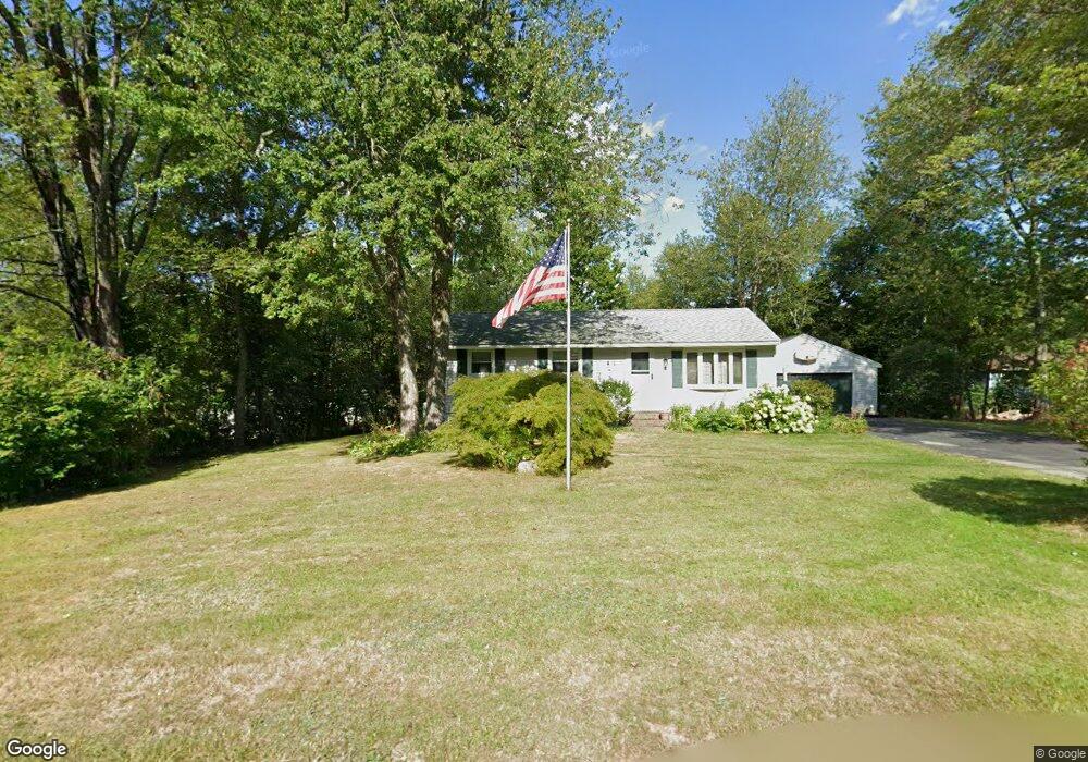
18 Millbrook Dr Milford, NH 03055
Estimated Value: $403,000 - $440,000
3
Beds
1
Bath
880
Sq Ft
$478/Sq Ft
Est. Value
About This Home
This home is located at 18 Millbrook Dr, Milford, NH 03055 and is currently estimated at $420,478, approximately $477 per square foot. 18 Millbrook Dr is a home with nearby schools including Jacques Memorial Elementary School, Heron Pond Elementary School, and Milford Middle School.
Ownership History
Date
Name
Owned For
Owner Type
Purchase Details
Closed on
Dec 27, 2004
Sold by
Gagne Martha Ann
Bought by
Lavoie Robert K
Current Estimated Value
Home Financials for this Owner
Home Financials are based on the most recent Mortgage that was taken out on this home.
Original Mortgage
$175,200
Interest Rate
5.74%
Mortgage Type
Purchase Money Mortgage
Purchase Details
Closed on
Nov 10, 1998
Sold by
Kumpu Richard C and Kumpu Janine
Bought by
Gagne William Arthur and Gagne Martha-Ann
Create a Home Valuation Report for This Property
The Home Valuation Report is an in-depth analysis detailing your home's value as well as a comparison with similar homes in the area
Home Values in the Area
Average Home Value in this Area
Purchase History
| Date | Buyer | Sale Price | Title Company |
|---|---|---|---|
| Lavoie Robert K | $219,000 | -- | |
| Gagne William Arthur | $115,000 | -- |
Source: Public Records
Mortgage History
| Date | Status | Borrower | Loan Amount |
|---|---|---|---|
| Open | Gagne William Arthur | $141,300 | |
| Closed | Gagne William Arthur | $155,000 | |
| Closed | Gagne William Arthur | $40,000 | |
| Closed | Gagne William Arthur | $175,200 |
Source: Public Records
Tax History Compared to Growth
Tax History
| Year | Tax Paid | Tax Assessment Tax Assessment Total Assessment is a certain percentage of the fair market value that is determined by local assessors to be the total taxable value of land and additions on the property. | Land | Improvement |
|---|---|---|---|---|
| 2024 | $6,173 | $260,800 | $89,100 | $171,700 |
| 2023 | $5,782 | $260,800 | $89,100 | $171,700 |
| 2022 | $5,422 | $260,800 | $89,100 | $171,700 |
| 2021 | $5,255 | $260,800 | $89,100 | $171,700 |
| 2020 | $5,878 | $231,700 | $63,800 | $167,900 |
| 2019 | $6,017 | $231,700 | $63,800 | $167,900 |
| 2018 | $5,817 | $199,000 | $62,600 | $136,400 |
| 2017 | $5,849 | $199,000 | $62,600 | $136,400 |
| 2016 | $5,763 | $199,000 | $62,600 | $136,400 |
| 2015 | $5,141 | $180,000 | $62,600 | $117,400 |
| 2014 | $4,914 | $180,000 | $62,600 | $117,400 |
| 2013 | $4,855 | $180,000 | $62,600 | $117,400 |
Source: Public Records
Map
Nearby Homes
- 0 Briar Cliff Dr
- 32 Larch Rd
- 24 Spaulding St
- 145 Westchester Dr
- 43 Boxwood Cir
- 61 W Meadow Ct
- 344 Elm St Unit 14
- 344 Elm St Unit 16
- 44 Osgood Rd
- 229 Mont Vernon Rd
- 57 Patch Hill Ln
- 131 Homestead Cir
- 40 North St
- 26 Melendy Rd Unit 97
- 26 Melendy Rd Unit 42
- 64 Lyndeborough Rd
- 545 Elm St Unit 34
- 377 Nashua St
- 51 Singer Brook Rd
- 294 Mason Rd
- 14 Millbrook Dr
- 22 Millbrook Dr
- 15 Millbrook Dr
- 131 Ridgefield Dr
- 141 Ridgefield Dr
- 135 Ridgefield Dr
- 127 Ridgefield Dr
- 10 Millbrook Dr
- 147 Ridgefield Dr
- 26 Millbrook Dr
- 23 Millbrook Dr
- 9 Millbrook Dr
- 123 Ridgefield Dr
- 151 Ridgefield Dr
- 27 Millbrook Dr
- 6 Millbrook Dr
- 30 Millbrook Dr
- 146 Ridgefield Dr
- 136 Ridgefield Dr
- 5 Millbrook Dr