18 N Boundary Rd Pembroke, MA 02359
Estimated Value: $413,000 - $439,813
2
Beds
1
Bath
576
Sq Ft
$744/Sq Ft
Est. Value
About This Home
This home is located at 18 N Boundary Rd, Pembroke, MA 02359 and is currently estimated at $428,453, approximately $743 per square foot. 18 N Boundary Rd is a home located in Plymouth County with nearby schools including Pembroke High School.
Ownership History
Date
Name
Owned For
Owner Type
Purchase Details
Closed on
Dec 27, 2006
Sold by
Balkam Stephen B and Skarinka Sarah M
Bought by
Odonnell Anne C
Current Estimated Value
Home Financials for this Owner
Home Financials are based on the most recent Mortgage that was taken out on this home.
Original Mortgage
$182,000
Outstanding Balance
$109,246
Interest Rate
6.29%
Mortgage Type
Purchase Money Mortgage
Estimated Equity
$319,207
Purchase Details
Closed on
May 5, 2000
Sold by
Porter David
Bought by
Balkam Stephen B and Skarinka Sarah M
Create a Home Valuation Report for This Property
The Home Valuation Report is an in-depth analysis detailing your home's value as well as a comparison with similar homes in the area
Home Values in the Area
Average Home Value in this Area
Purchase History
| Date | Buyer | Sale Price | Title Company |
|---|---|---|---|
| Odonnell Anne C | $227,500 | -- | |
| Odonnell Anne C | $227,500 | -- | |
| Balkam Stephen B | $127,000 | -- | |
| Balkam Stephen B | $127,000 | -- |
Source: Public Records
Mortgage History
| Date | Status | Borrower | Loan Amount |
|---|---|---|---|
| Open | Balkam Stephen B | $182,000 | |
| Closed | Balkam Stephen B | $22,750 |
Source: Public Records
Tax History Compared to Growth
Tax History
| Year | Tax Paid | Tax Assessment Tax Assessment Total Assessment is a certain percentage of the fair market value that is determined by local assessors to be the total taxable value of land and additions on the property. | Land | Improvement |
|---|---|---|---|---|
| 2025 | $4,524 | $376,400 | $246,000 | $130,400 |
| 2024 | $4,190 | $348,300 | $219,500 | $128,800 |
| 2023 | $4,435 | $348,700 | $219,500 | $129,200 |
| 2022 | $4,153 | $293,500 | $179,700 | $113,800 |
| 2021 | $4,101 | $281,300 | $171,400 | $109,900 |
| 2020 | $3,969 | $273,900 | $163,700 | $110,200 |
| 2019 | $3,437 | $235,400 | $159,600 | $75,800 |
| 2018 | $3,035 | $203,800 | $140,300 | $63,500 |
| 2017 | $2,972 | $196,800 | $132,700 | $64,100 |
| 2016 | $2,895 | $189,700 | $125,100 | $64,600 |
| 2015 | $2,634 | $178,700 | $113,600 | $65,100 |
Source: Public Records
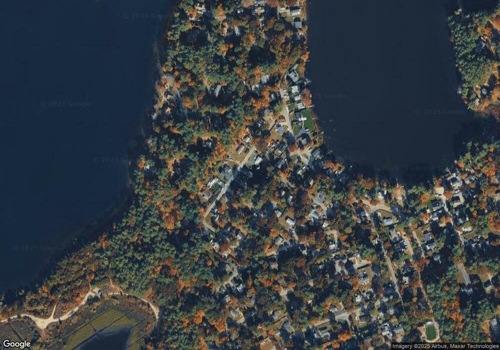
Map
Nearby Homes
- 14 N Boundary Rd
- 26 N Boundary Rd
- 17 N Boundary Rd
- 12 Jean St
- 23 N Boundary Rd
- 8 Jean St
- 12 N Boundary Rd
- 4 Jean St
- 15 N Boundary Rd
- 124 Furnace Colony Dr
- 27 N Boundary Rd
- 128 Furnace Colony Dr
- 3 Lyons Rd
- 13 N Boundary Rd
- 6 Grace Ann Rd
- 13 Grace Ann Rd
- 11 N Boundary Rd
- 31 N Boundary Rd
- 130 Furnace Colony Dr
- 120 Furnace Colony Dr