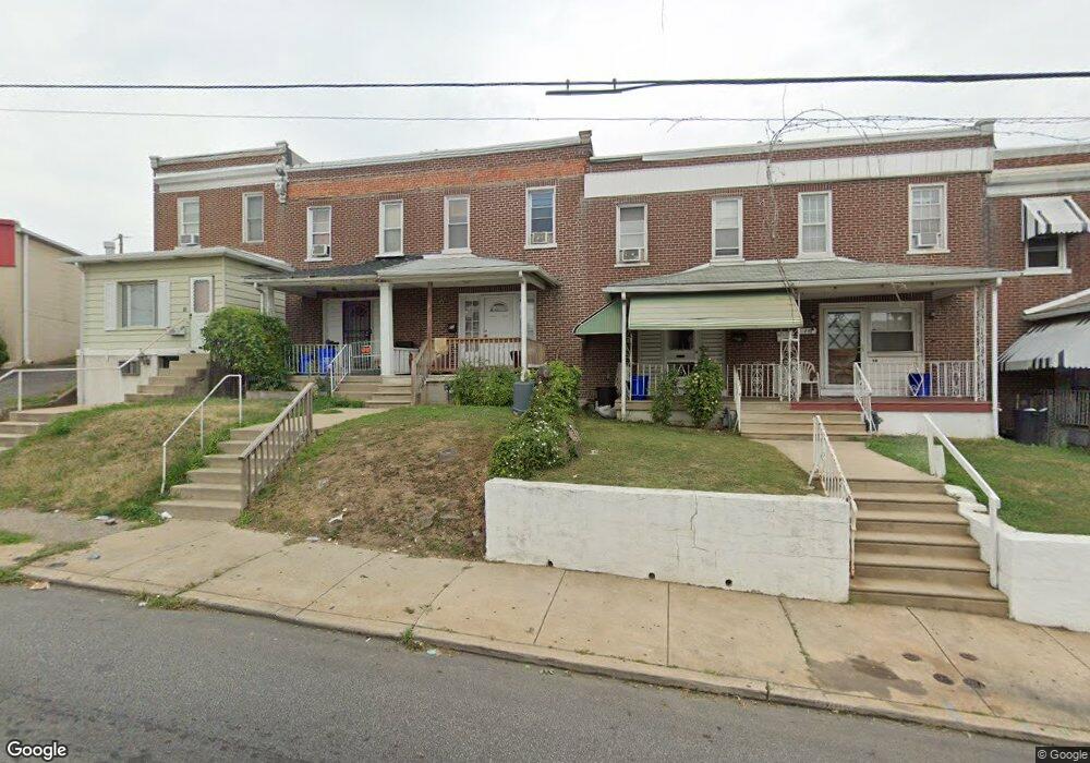
18 N State Rd Upper Darby, PA 19082
Estimated Value: $180,000 - $194,000
3
Beds
1
Bath
1,128
Sq Ft
$164/Sq Ft
Est. Value
About This Home
This home is located at 18 N State Rd, Upper Darby, PA 19082 and is currently estimated at $184,583, approximately $163 per square foot. 18 N State Rd is a home located in Delaware County with nearby schools including Upper Darby Kdg Center, Drexel Hill Middle School, and Upper Darby High School.
Ownership History
Date
Name
Owned For
Owner Type
Purchase Details
Closed on
Oct 31, 2003
Sold by
Odonnell John F and Odonnell Mary J
Bought by
Lay David T and Le Hanh T
Current Estimated Value
Home Financials for this Owner
Home Financials are based on the most recent Mortgage that was taken out on this home.
Original Mortgage
$59,529
Outstanding Balance
$27,617
Interest Rate
6.01%
Mortgage Type
FHA
Estimated Equity
$156,966
Create a Home Valuation Report for This Property
The Home Valuation Report is an in-depth analysis detailing your home's value as well as a comparison with similar homes in the area
Home Values in the Area
Average Home Value in this Area
Purchase History
| Date | Buyer | Sale Price | Title Company |
|---|---|---|---|
| Lay David T | $60,000 | Commonwealth Title |
Source: Public Records
Mortgage History
| Date | Status | Borrower | Loan Amount |
|---|---|---|---|
| Open | Lay David T | $59,529 |
Source: Public Records
Tax History
| Year | Tax Paid | Tax Assessment Tax Assessment Total Assessment is a certain percentage of the fair market value that is determined by local assessors to be the total taxable value of land and additions on the property. | Land | Improvement |
|---|---|---|---|---|
| 2025 | $3,217 | $76,070 | $19,420 | $56,650 |
| 2024 | $3,217 | $76,070 | $19,420 | $56,650 |
| 2023 | $3,187 | $76,070 | $19,420 | $56,650 |
| 2022 | $3,101 | $76,070 | $19,420 | $56,650 |
| 2021 | $4,181 | $76,070 | $19,420 | $56,650 |
| 2020 | $2,435 | $37,640 | $12,140 | $25,500 |
| 2019 | $2,392 | $37,640 | $12,140 | $25,500 |
| 2018 | $2,365 | $37,640 | $0 | $0 |
| 2017 | $2,303 | $37,640 | $0 | $0 |
| 2016 | $207 | $37,640 | $0 | $0 |
| 2015 | $207 | $37,640 | $0 | $0 |
| 2014 | $207 | $37,640 | $0 | $0 |
Source: Public Records
Map
Nearby Homes
- 15 Kenmore Rd
- 7603 W Chester Pike
- 35 N State Rd
- 7517 Parkview Rd
- 9 Berbro Ave
- 29 Golf Rd
- 7425 Rogers Ave
- 101 N Pennock Ave
- 107 S Keystone Ave
- 129 S Keystone Ave
- 7920 W Chester Pike
- 7124 Pennsylvania Ave
- 512 Fairfield Ave
- 41 N Keystone Ave
- 8125 W Chester Pike Unit A4
- 77 N Keystone Ave
- 11 S Cedar Ln
- 1314 Farrington Rd
- 7281 Walnut St
- 7649 Malvern Ave
Your Personal Tour Guide
Ask me questions while you tour the home.