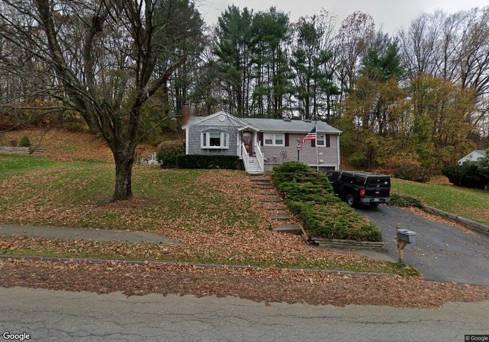
18 Ontario Dr Hudson, MA 01749
Estimated Value: $554,000 - $568,000
3
Beds
2
Baths
1,097
Sq Ft
$511/Sq Ft
Est. Value
About This Home
This home is located at 18 Ontario Dr, Hudson, MA 01749 and is currently estimated at $560,050, approximately $510 per square foot. 18 Ontario Dr is a home located in Middlesex County with nearby schools including David J. Quinn Middle School, Hudson High School, and First Steps Children's Center.
Ownership History
Date
Name
Owned For
Owner Type
Purchase Details
Closed on
Jun 18, 2015
Sold by
Musorofiti John
Bought by
Musorofiti Lenore
Current Estimated Value
Purchase Details
Closed on
Feb 19, 2015
Sold by
Musorofiti Lenore
Bought by
Musorofiti John
Purchase Details
Closed on
Sep 26, 1980
Bought by
Musorofiti John
Create a Home Valuation Report for This Property
The Home Valuation Report is an in-depth analysis detailing your home's value as well as a comparison with similar homes in the area
Home Values in the Area
Average Home Value in this Area
Purchase History
| Date | Buyer | Sale Price | Title Company |
|---|---|---|---|
| Musorofiti Lenore | -- | -- | |
| Musorofiti Lenore | -- | -- | |
| Musorofiti John | -- | -- | |
| Musorofiti John | -- | -- | |
| Musorofiti John | -- | -- |
Source: Public Records
Mortgage History
| Date | Status | Borrower | Loan Amount |
|---|---|---|---|
| Previous Owner | Musorofiti John | $102,000 | |
| Previous Owner | Musorofiti John | $86,000 | |
| Previous Owner | Musorofiti John | $40,000 |
Source: Public Records
Tax History Compared to Growth
Tax History
| Year | Tax Paid | Tax Assessment Tax Assessment Total Assessment is a certain percentage of the fair market value that is determined by local assessors to be the total taxable value of land and additions on the property. | Land | Improvement |
|---|---|---|---|---|
| 2025 | $7,463 | $537,700 | $197,800 | $339,900 |
| 2024 | $6,975 | $498,200 | $179,900 | $318,300 |
| 2023 | $6,369 | $436,200 | $173,000 | $263,200 |
| 2022 | $6,060 | $382,100 | $157,200 | $224,900 |
| 2021 | $6,902 | $355,200 | $149,700 | $205,500 |
| 2020 | $5,466 | $329,100 | $146,600 | $182,500 |
| 2019 | $9,686 | $321,000 | $146,600 | $174,400 |
| 2018 | $4,757 | $301,900 | $139,700 | $162,200 |
| 2017 | $6,373 | $283,000 | $133,000 | $150,000 |
| 2016 | $4,789 | $277,000 | $133,000 | $144,000 |
| 2015 | $4,318 | $250,000 | $133,000 | $117,000 |
| 2014 | $4,257 | $244,400 | $116,800 | $127,600 |
Source: Public Records
Map
Nearby Homes
- 7e Strawberry Ln Unit E
- 18 Collins Dr
- 24 Seneca Dr
- 7 Old North Rd
- 46 Jewell Rd Unit Lot 5
- 44 Jewell Rd Unit Lot 4
- 30 Jewell Rd Unit Lot 2
- 56 Forest Ave
- 34 Forest Ave
- 16 Abigail Dr
- 425 Main St Unit 11B
- 68 Upland Rd
- 11 Barracks Rd Unit 11
- 9 Barracks Rd Unit 9
- 3 Barracks Rd Unit 3
- 7 Barracks Rd Unit 7
- 5 Barracks Rd Unit 5
- 9 & 9A Abigail
- 0 Washington St
- 243 Washington St