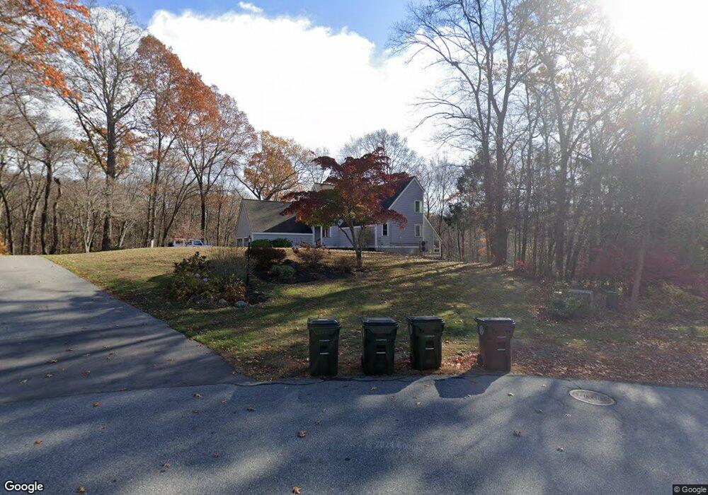
18 Parsons Rd West Newbury, MA 01985
Estimated Value: $1,017,000 - $1,273,000
3
Beds
3
Baths
3,340
Sq Ft
$332/Sq Ft
Est. Value
About This Home
This home is located at 18 Parsons Rd, West Newbury, MA 01985 and is currently estimated at $1,108,234, approximately $331 per square foot. 18 Parsons Rd is a home located in Essex County with nearby schools including Pentucket Regional High School, River Valley Charter School, and Immaculate Conception School.
Ownership History
Date
Name
Owned For
Owner Type
Purchase Details
Closed on
Jul 31, 2013
Sold by
Robertson Donald B and Robertson Roberta J
Bought by
Stlouis Lee P and Stlouis Julie A
Current Estimated Value
Home Financials for this Owner
Home Financials are based on the most recent Mortgage that was taken out on this home.
Original Mortgage
$424,297
Outstanding Balance
$309,911
Interest Rate
3.95%
Mortgage Type
New Conventional
Estimated Equity
$798,323
Create a Home Valuation Report for This Property
The Home Valuation Report is an in-depth analysis detailing your home's value as well as a comparison with similar homes in the area
Home Values in the Area
Average Home Value in this Area
Purchase History
| Date | Buyer | Sale Price | Title Company |
|---|---|---|---|
| Stlouis Lee P | $480,000 | -- |
Source: Public Records
Mortgage History
| Date | Status | Borrower | Loan Amount |
|---|---|---|---|
| Open | Stlouis Lee P | $424,297 | |
| Previous Owner | Stlouis Lee P | $220,000 |
Source: Public Records
Tax History Compared to Growth
Tax History
| Year | Tax Paid | Tax Assessment Tax Assessment Total Assessment is a certain percentage of the fair market value that is determined by local assessors to be the total taxable value of land and additions on the property. | Land | Improvement |
|---|---|---|---|---|
| 2025 | $10,089 | $934,200 | $425,300 | $508,900 |
| 2024 | $9,324 | $861,700 | $389,500 | $472,200 |
| 2023 | $8,683 | $787,200 | $348,100 | $439,100 |
| 2022 | $8,593 | $660,500 | $275,800 | $384,700 |
| 2021 | $8,504 | $571,500 | $254,000 | $317,500 |
| 2020 | $8,407 | $583,000 | $254,000 | $329,000 |
| 2019 | $8,588 | $589,400 | $254,000 | $335,400 |
| 2018 | $8,241 | $566,000 | $254,000 | $312,000 |
| 2017 | $8,235 | $566,000 | $254,000 | $312,000 |
| 2016 | $8,109 | $554,300 | $254,000 | $300,300 |
| 2015 | $7,552 | $481,300 | $206,100 | $275,200 |
Source: Public Records
Map
Nearby Homes
- 237 Storey Ave
- 231 Storey Ave
- 7 Peters Rd
- 16 Newhall Ln
- 17 Lavalley Ln
- 100 Turkey Hill Rd
- 10 Clipper Way
- 6 Woodman Way Unit 402
- 6 Woodman Way Unit 121
- 8 Brown Ave
- 15 Beacon St
- 6 Boyd Dr
- 591 Main St
- 11 Beacon St
- 19 Cutter Ln Unit 19
- 13 Bailey Pond Ln Unit 13
- 60 Merrimac St Unit 907
- 60 Merrimac St Unit 604
- 60 Merrimac St Unit 508
- 43 Ferry Rd