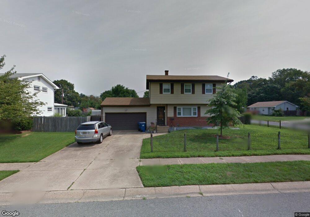
18 Pearson Dr Newark, DE 19713
Estimated Value: $284,000 - $344,694
4
Beds
2
Baths
1,176
Sq Ft
$271/Sq Ft
Est. Value
About This Home
This home is located at 18 Pearson Dr, Newark, DE 19713 and is currently estimated at $318,424, approximately $270 per square foot. 18 Pearson Dr is a home located in New Castle County with nearby schools including Smith (Jennie E.) Elementary School, Kirk (George V.) Middle School, and Newark High School.
Ownership History
Date
Name
Owned For
Owner Type
Purchase Details
Closed on
Nov 20, 2003
Sold by
Willing Rhoda M
Bought by
Campbell Martin J and Campbell Sharon A
Current Estimated Value
Home Financials for this Owner
Home Financials are based on the most recent Mortgage that was taken out on this home.
Original Mortgage
$118,750
Outstanding Balance
$58,356
Interest Rate
6.87%
Mortgage Type
Purchase Money Mortgage
Estimated Equity
$260,068
Create a Home Valuation Report for This Property
The Home Valuation Report is an in-depth analysis detailing your home's value as well as a comparison with similar homes in the area
Home Values in the Area
Average Home Value in this Area
Purchase History
| Date | Buyer | Sale Price | Title Company |
|---|---|---|---|
| Campbell Martin J | $125,000 | -- |
Source: Public Records
Mortgage History
| Date | Status | Borrower | Loan Amount |
|---|---|---|---|
| Open | Campbell Martin J | $118,750 |
Source: Public Records
Tax History
| Year | Tax Paid | Tax Assessment Tax Assessment Total Assessment is a certain percentage of the fair market value that is determined by local assessors to be the total taxable value of land and additions on the property. | Land | Improvement |
|---|---|---|---|---|
| 2024 | -- | $59,100 | $9,500 | $49,600 |
| 2023 | $2,448 | $59,100 | $9,500 | $49,600 |
| 2022 | $2,442 | $59,100 | $9,500 | $49,600 |
| 2021 | $2,390 | $59,100 | $9,500 | $49,600 |
| 2020 | $2,328 | $59,100 | $9,500 | $49,600 |
| 2019 | $2,225 | $59,100 | $9,500 | $49,600 |
| 2018 | $2,004 | $59,100 | $9,500 | $49,600 |
| 2017 | $1,933 | $59,100 | $9,500 | $49,600 |
| 2016 | $1,928 | $59,100 | $9,500 | $49,600 |
| 2015 | $1,756 | $59,100 | $9,500 | $49,600 |
| 2014 | $1,756 | $59,100 | $9,500 | $49,600 |
Source: Public Records
Map
Nearby Homes
- 16 Pearson Dr
- 102 Anderson Rd
- 101 Anderson Rd
- 104 Anderson Rd
- 14 Pearson Dr
- 103 Garrett Rd
- 103 Anderson Rd
- 19 Pearson Dr
- 105 Garrett Rd Unit TODEST
- 105 Garrett Rd
- 105 Anderson Rd
- 29 Anderson Rd
- 15 Pearson Dr
- 107 Garrett Rd
- 26 Anderson Rd
- 27 Anderson Rd
- 108 Anderson Rd
- 109 Garrett Rd
- 10 Pearson Dr
- 109 Anderson Rd
Your Personal Tour Guide
Ask me questions while you tour the home.