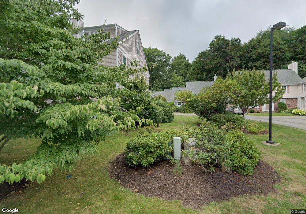
18 Pheasant Run Ln Stratham, NH 03885
Estimated Value: $467,000 - $626,000
2
Beds
3
Baths
1,800
Sq Ft
$300/Sq Ft
Est. Value
About This Home
This home is located at 18 Pheasant Run Ln, Stratham, NH 03885 and is currently estimated at $539,329, approximately $299 per square foot. 18 Pheasant Run Ln is a home located in Rockingham County with nearby schools including Stratham Memorial School, Cooperative Middle School, and Exeter High School.
Ownership History
Date
Name
Owned For
Owner Type
Purchase Details
Closed on
Oct 28, 2010
Sold by
Essex Rt
Bought by
Hadley Guy P and Hadley Jessie T
Current Estimated Value
Purchase Details
Closed on
Dec 9, 1997
Sold by
Simard James R
Bought by
Carroll John J and Carroll Joanne
Home Financials for this Owner
Home Financials are based on the most recent Mortgage that was taken out on this home.
Original Mortgage
$65,000
Interest Rate
7.28%
Create a Home Valuation Report for This Property
The Home Valuation Report is an in-depth analysis detailing your home's value as well as a comparison with similar homes in the area
Home Values in the Area
Average Home Value in this Area
Purchase History
| Date | Buyer | Sale Price | Title Company |
|---|---|---|---|
| Hadley Guy P | $217,000 | -- | |
| Carroll John J | $138,500 | -- |
Source: Public Records
Mortgage History
| Date | Status | Borrower | Loan Amount |
|---|---|---|---|
| Previous Owner | Carroll John J | $35,000 | |
| Previous Owner | Carroll John J | $139,147 | |
| Previous Owner | Carroll John J | $65,000 |
Source: Public Records
Tax History Compared to Growth
Tax History
| Year | Tax Paid | Tax Assessment Tax Assessment Total Assessment is a certain percentage of the fair market value that is determined by local assessors to be the total taxable value of land and additions on the property. | Land | Improvement |
|---|---|---|---|---|
| 2024 | $6,559 | $499,900 | $0 | $499,900 |
| 2023 | $6,024 | $288,100 | $0 | $288,100 |
| 2022 | $5,390 | $288,100 | $0 | $288,100 |
| 2021 | $5,336 | $288,100 | $0 | $288,100 |
| 2020 | $5,459 | $288,100 | $0 | $288,100 |
| 2019 | $5,367 | $288,100 | $0 | $288,100 |
| 2018 | $4,374 | $208,300 | $0 | $208,300 |
| 2017 | $4,228 | $208,300 | $0 | $208,300 |
| 2016 | $4,249 | $208,300 | $0 | $208,300 |
| 2015 | $4,145 | $208,300 | $0 | $208,300 |
| 2014 | $4,147 | $208,300 | $0 | $208,300 |
| 2013 | $4,496 | $228,800 | $0 | $228,800 |
Source: Public Records
Map
Nearby Homes
- 00 Lovell Rd Unit 22
- 13 Dearborn Rd
- 24 Great Bay Rd
- 14 Balmoral Dr
- 141 Dearborn Rd
- Unit 26 Summerwind Place Unit 26
- 44 High St
- 00 Scamman Rd
- 5 Pond View Dr
- 227 Portsmouth Ave
- 217 Portsmouth Ave
- 64 Boxwood Path Unit 64
- 18 Treat Farm Rd
- 12 Founders Square Unit A
- 34 Kinloch Dr
- 177 Winnicutt Rd
- 4 Kildary Dr
- 54 Brookside Dr
- 5 Brookside Dr
- 36 Downs Ave
- 28 Pheasant Run Ln
- 27 Pheasant Run Ln
- 26 Pheasant Run Ln
- 25 Pheasant Run Ln
- 24 Pheasant Run Ln
- 23 Pheasant Run Ln
- 22 Pheasant Run Ln
- 21 Pheasant Run Ln
- 20 Pheasant Run Ln
- 19 Pheasant Run Ln
- 17 Pheasant Run Ln
- 16 Pheasant Run Ln
- 15 Pheasant Run Ln
- 14 Pheasant Run Ln
- 13 Pheasant Run Ln
- 12 Pheasant Run Ln
- 10 Pheasant Run Ln
- 9 Pheasant Run Ln
- 8 Pheasant Run Ln
- 7 Pheasant Run Ln