Estimated Value: $1,869,000 - $2,290,000
2
Beds
4
Baths
2,794
Sq Ft
$731/Sq Ft
Est. Value
About This Home
This home is located at 18 Pier 7, Charlestown, MA 02129 and is currently estimated at $2,042,577, approximately $731 per square foot. 18 Pier 7 is a home located in Suffolk County with nearby schools including Boston Children's School and St John School.
Ownership History
Date
Name
Owned For
Owner Type
Purchase Details
Closed on
Apr 11, 2025
Sold by
Jung Yi-Yuann and Jung Stephen William
Bought by
Yi Y Jung 2025 T Y and Yi Jung
Current Estimated Value
Purchase Details
Closed on
May 26, 1993
Sold by
Dime Sb Ny
Bought by
Shih An Y and Jung Yi Y
Purchase Details
Closed on
Mar 3, 1993
Sold by
Furber Stephen H and Dime Svgs Bk Ny
Bought by
Dime Svgs Bk Ny
Create a Home Valuation Report for This Property
The Home Valuation Report is an in-depth analysis detailing your home's value as well as a comparison with similar homes in the area
Home Values in the Area
Average Home Value in this Area
Purchase History
| Date | Buyer | Sale Price | Title Company |
|---|---|---|---|
| Yi Y Jung 2025 T Y | -- | None Available | |
| Yi Y Jung 2025 T Y | -- | None Available | |
| Shih An Y | $345,000 | -- | |
| Shih An Y | $345,000 | -- | |
| Dime Svgs Bk Ny | $323,000 | -- | |
| Dime Svgs Bk Ny | $323,000 | -- |
Source: Public Records
Mortgage History
| Date | Status | Borrower | Loan Amount |
|---|---|---|---|
| Previous Owner | Dime Svgs Bk Ny | $874,000 | |
| Previous Owner | Dime Svgs Bk Ny | $854,000 |
Source: Public Records
Tax History Compared to Growth
Tax History
| Year | Tax Paid | Tax Assessment Tax Assessment Total Assessment is a certain percentage of the fair market value that is determined by local assessors to be the total taxable value of land and additions on the property. | Land | Improvement |
|---|---|---|---|---|
| 2025 | $24,638 | $2,127,600 | $0 | $2,127,600 |
| 2024 | $21,590 | $1,980,700 | $0 | $1,980,700 |
| 2023 | $20,260 | $1,886,400 | $0 | $1,886,400 |
| 2022 | $20,121 | $1,849,400 | $0 | $1,849,400 |
| 2021 | $19,733 | $1,849,400 | $0 | $1,849,400 |
| 2020 | $19,484 | $1,845,100 | $0 | $1,845,100 |
| 2019 | $19,066 | $1,808,940 | $0 | $1,808,940 |
| 2018 | $18,055 | $1,722,800 | $0 | $1,722,800 |
| 2017 | $17,543 | $1,656,526 | $0 | $1,656,526 |
| 2016 | $17,190 | $1,562,760 | $0 | $1,562,760 |
| 2015 | $15,771 | $1,302,300 | $0 | $1,302,300 |
| 2014 | $14,447 | $1,148,400 | $0 | $1,148,400 |
Source: Public Records
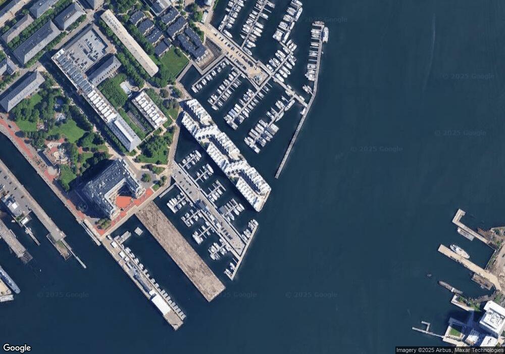
Map
Nearby Homes
- 197 8th St Unit 501
- 197 Eighth St Unit 628
- 197 Eighth St Unit 212
- 42 8th St Unit 5316
- 42 8th St Unit 4209
- 42 8th St Unit 4106
- 42 8th St Unit 1201
- 42 8th St Unit 3306
- 42 8th St Unit 2302
- 106 13th St Unit 204
- 3 Battery Wharf Unit 3309
- 99 Sumner St Unit 301
- 99 Sumner St Unit 101
- 99 Sumner St Unit 401
- 99 Sumner St Unit 308
- 99 Sumner St Unit 205
- 99 Sumner St Unit 510
- 99 Sumner St Unit 316
- 99 Sumner St Unit 306
- 99 Sumner St Unit 407
- 17 Pier 7
- 17 9th St Unit 17
- 17 Constellation Wharf
- 20 Pier 7
- 20 Constellation Wharf Unit 20
- 21 Pier 7
- 21 Constelaltion Wharf Unit 21
- 21 Constellation Wharf Unit 21
- 15 Pier 7
- 15 Constellation Wharf Unit 15
- 22 Constellation Wharf Unit 22
- 22 9th St Unit 22
- 22 Pier 7
- 22 9th St Unit 22
- 49 Constellation Wharf Unit 49
- 49 Constellation Wharf Unit 49-50
- 23 Pier 7
- 23 Constellation Wharf Unit 23
- 25 Pier 7
- 25 9th St Unit 25