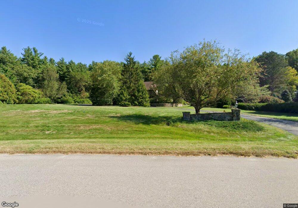
18 Powers Rd Hollis, NH 03049
Hollis NeighborhoodEstimated Value: $1,069,000 - $1,611,000
3
Beds
4
Baths
4,302
Sq Ft
$313/Sq Ft
Est. Value
About This Home
This home is located at 18 Powers Rd, Hollis, NH 03049 and is currently estimated at $1,346,795, approximately $313 per square foot. 18 Powers Rd is a home with nearby schools including Hollis Primary School, Hollis Upper Elementary School, and Hollis-Brookline Middle School.
Ownership History
Date
Name
Owned For
Owner Type
Purchase Details
Closed on
Jun 26, 2001
Sold by
Todd John J and Todd Deborah R
Bought by
Norcott William and Norcott Hsiu-Hua
Current Estimated Value
Home Financials for this Owner
Home Financials are based on the most recent Mortgage that was taken out on this home.
Original Mortgage
$545,000
Outstanding Balance
$209,265
Interest Rate
7.09%
Estimated Equity
$1,137,530
Create a Home Valuation Report for This Property
The Home Valuation Report is an in-depth analysis detailing your home's value as well as a comparison with similar homes in the area
Home Values in the Area
Average Home Value in this Area
Purchase History
| Date | Buyer | Sale Price | Title Company |
|---|---|---|---|
| Norcott William | $685,000 | -- |
Source: Public Records
Mortgage History
| Date | Status | Borrower | Loan Amount |
|---|---|---|---|
| Open | Norcott William | $545,000 |
Source: Public Records
Tax History Compared to Growth
Tax History
| Year | Tax Paid | Tax Assessment Tax Assessment Total Assessment is a certain percentage of the fair market value that is determined by local assessors to be the total taxable value of land and additions on the property. | Land | Improvement |
|---|---|---|---|---|
| 2024 | $22,056 | $1,244,000 | $379,900 | $864,100 |
| 2023 | $20,725 | $1,244,000 | $379,900 | $864,100 |
| 2022 | $28,077 | $1,244,000 | $379,900 | $864,100 |
| 2021 | $18,121 | $798,300 | $243,500 | $554,800 |
| 2020 | $18,505 | $798,300 | $243,500 | $554,800 |
| 2019 | $18,441 | $798,300 | $243,500 | $554,800 |
| 2018 | $17,299 | $798,300 | $243,500 | $554,800 |
| 2017 | $16,765 | $724,200 | $206,600 | $517,600 |
| 2016 | $16,968 | $724,200 | $206,600 | $517,600 |
| 2015 | $16,671 | $724,200 | $206,600 | $517,600 |
| 2014 | $16,751 | $724,200 | $206,600 | $517,600 |
| 2013 | $16,526 | $724,200 | $206,600 | $517,600 |
Source: Public Records
Map
Nearby Homes
- 11 Rideout Rd
- 5 Plainfield Ln
- 11 Bartemus Trail Unit 204
- 334 Broad St
- 76 Bartemus Trail Unit U231
- 20 Martha St
- 4 Chesapeake Rd
- 46 Scenic Dr
- 1014 W Hollis St
- 199 Pine Hill Rd
- 95 Wright Rd
- 2 Matties Way
- 22 Cathedral Cir
- 12 Spring Cove Rd Unit U103
- 3 Richmond St
- 40 Spring Cove Rd Unit U117
- 4 Nelson St
- 27 Country Hill Rd Unit U90
- 12 Clovercrest Dr
- 6 Cornwall Ln Unit 7