Estimated Value: $470,000 - $618,000
3
Beds
2
Baths
2,329
Sq Ft
$233/Sq Ft
Est. Value
About This Home
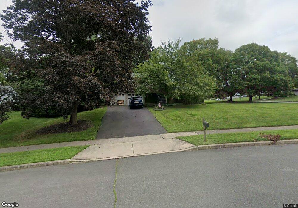
This home is located at 18 Randi Way, Ewing, NJ 08560 and is currently estimated at $542,814, approximately $233 per square foot. 18 Randi Way is a home located in Mercer County with nearby schools including Ewing High School, The Village Charter School, and The Titusville Academy.
Ownership History
Date
Name
Owned For
Owner Type
Purchase Details
Closed on
Apr 24, 2009
Sold by
Santosusso Kenneth
Bought by
Baker Donald and Baker Staci
Current Estimated Value
Home Financials for this Owner
Home Financials are based on the most recent Mortgage that was taken out on this home.
Original Mortgage
$333,841
Outstanding Balance
$210,587
Interest Rate
4.9%
Mortgage Type
FHA
Estimated Equity
$332,227
Create a Home Valuation Report for This Property
The Home Valuation Report is an in-depth analysis detailing your home's value as well as a comparison with similar homes in the area
Home Values in the Area
Average Home Value in this Area
Purchase History
| Date | Buyer | Sale Price | Title Company |
|---|---|---|---|
| Baker Donald | $340,000 | Fidelity Natl Title Ins Co |
Source: Public Records
Mortgage History
| Date | Status | Borrower | Loan Amount |
|---|---|---|---|
| Open | Baker Donald | $333,841 |
Source: Public Records
Tax History
| Year | Tax Paid | Tax Assessment Tax Assessment Total Assessment is a certain percentage of the fair market value that is determined by local assessors to be the total taxable value of land and additions on the property. | Land | Improvement |
|---|---|---|---|---|
| 2025 | $12,169 | $309,400 | $93,600 | $215,800 |
| 2024 | $11,439 | $309,400 | $93,600 | $215,800 |
| 2023 | $11,439 | $309,400 | $93,600 | $215,800 |
| 2022 | $11,129 | $309,400 | $93,600 | $215,800 |
| 2021 | $10,857 | $309,400 | $93,600 | $215,800 |
| 2020 | $10,702 | $309,400 | $93,600 | $215,800 |
| 2019 | $10,424 | $309,400 | $93,600 | $215,800 |
| 2018 | $9,661 | $182,900 | $70,300 | $112,600 |
| 2017 | $9,886 | $182,900 | $70,300 | $112,600 |
| 2016 | $9,752 | $182,900 | $70,300 | $112,600 |
| 2015 | $9,622 | $182,900 | $70,300 | $112,600 |
| 2014 | $9,597 | $182,900 | $70,300 | $112,600 |
Source: Public Records
Map
Nearby Homes
- 6 Brookside Dr
- 36 Lochatong Rd
- 125 Lewis Fisher Dr
- 18 Westwood Dr
- 4 Birch Run Ct
- 18 Forrest Blend Dr
- 21 Pioneer Ct
- 18 Pioneer Ct
- 22 Crockett Ln
- 5 Pioneer Ct
- 47 Montague Ave
- 61 Willis Dr
- 515 John Vanzandt Dr
- 517 John Vanzandt Dr
- 519 John Vanzandt Dr
- 521 John Vanzandt Dr
- 30 John Vanzandt Dr
- 28 John Vanzandt Dr
- 26 John Vanzandt Dr
- 65 Martha Brokaw Way
- 39 Windybush Way
- 16 Randi Way
- 52 Windybush Way
- 50 Windybush Way
- 9 Randi Way
- 33 Windybush Way
- 14 Randi Way
- 37 Windybush Way
- 31 Windybush Way
- 54 Windybush Way
- 48 Windybush Way
- 29 Windybush Way
- 130 Mountainview Rd
- 45 Windybush Way
- 128 Mountainview Rd
- 7 Randi Way
- 132 Mountainview Rd
- 12 Randi Way
- 56 Windybush Way
- 27 Windybush Way
Your Personal Tour Guide
Ask me questions while you tour the home.