18 Raouls Cove Rd Moultonborough, NH 03254
Estimated Value: $777,000 - $1,259,000
1
Bed
1
Bath
832
Sq Ft
$1,159/Sq Ft
Est. Value
About This Home
This home is located at 18 Raouls Cove Rd, Moultonborough, NH 03254 and is currently estimated at $964,505, approximately $1,159 per square foot. 18 Raouls Cove Rd is a home with nearby schools including Moultonborough Central School and Moultonborough Academy High School.
Ownership History
Date
Name
Owned For
Owner Type
Purchase Details
Closed on
Jun 29, 2007
Sold by
Michaud Arthur H
Bought by
Mousseau Wylie D
Current Estimated Value
Home Financials for this Owner
Home Financials are based on the most recent Mortgage that was taken out on this home.
Original Mortgage
$319,500
Outstanding Balance
$196,970
Interest Rate
6.24%
Mortgage Type
Purchase Money Mortgage
Estimated Equity
$767,535
Create a Home Valuation Report for This Property
The Home Valuation Report is an in-depth analysis detailing your home's value as well as a comparison with similar homes in the area
Home Values in the Area
Average Home Value in this Area
Purchase History
| Date | Buyer | Sale Price | Title Company |
|---|---|---|---|
| Mousseau Wylie D | $355,000 | -- |
Source: Public Records
Mortgage History
| Date | Status | Borrower | Loan Amount |
|---|---|---|---|
| Open | Mousseau Wylie D | $319,500 |
Source: Public Records
Tax History Compared to Growth
Tax History
| Year | Tax Paid | Tax Assessment Tax Assessment Total Assessment is a certain percentage of the fair market value that is determined by local assessors to be the total taxable value of land and additions on the property. | Land | Improvement |
|---|---|---|---|---|
| 2024 | $5,202 | $920,700 | $832,400 | $88,300 |
| 2023 | $4,740 | $831,600 | $743,300 | $88,300 |
| 2022 | $3,194 | $668,300 | $611,500 | $56,800 |
| 2021 | $3,616 | $518,100 | $467,800 | $50,300 |
| 2020 | $3,345 | $469,100 | $421,000 | $48,100 |
| 2019 | $3,248 | $454,200 | $409,000 | $45,200 |
| 2018 | $3,049 | $395,000 | $350,500 | $44,500 |
| 2017 | $3,191 | $388,200 | $350,500 | $37,700 |
| 2016 | $3,178 | $363,600 | $327,900 | $35,700 |
| 2015 | $3,294 | $365,600 | $327,900 | $37,700 |
| 2014 | $3,392 | $382,800 | $343,200 | $39,600 |
| 2013 | $3,327 | $382,800 | $343,200 | $39,600 |
Source: Public Records
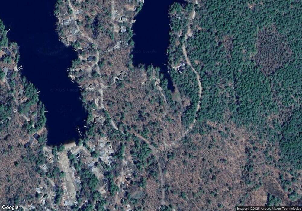
Map
Nearby Homes
- 122 Toltec Point Rd
- 2 Little Badger Island
- 244 Wentworth Shores Rd
- 4 Schneider Rd
- 28 Moose Walk
- 11 Geery Ln
- 33 Blackadar Ln
- 0 Moose Walk
- 21 Orton Ln
- 203 Krainewood Dr
- 29 Kona Farm Rd
- 41 Saint Gallen St
- 00 Grande St Unit 44
- 525 Whittier Hwy
- 69 Buoniello Rd
- 647 Whittier Hwy
- 22 Sundorf St
- 7 Eden Ln
- 00 Sundorf St Unit 117
- 72 Sundorf St
- 14 Raoul's Cove Rd
- 31 Richardson Shores Rd
- 8 Toltec Point Rd
- 69 Richardson Shores Rd
- 77 Richardson Shores Rd
- 41 Richardson Shores Rd
- 5 Toltec Point Rd
- 0 Hanson Mill Richardson Shores Unit 4419167
- 7 Toltec Point Rd
- 47 Richardson Shores Rd
- 16 Toltec Point Rd
- 132-13-1 Toltec Point Rd
- 9 Toltec Point Rd
- 15 Toltec Point Rd
- 51 Richardson Shores Rd
- 20 Toltec Point Rd
- 17 Toltec Point Rd
- 55 Richardson Shores Rd
- 22 Toltec Point Rd
- 59 Richardson Shores Rd