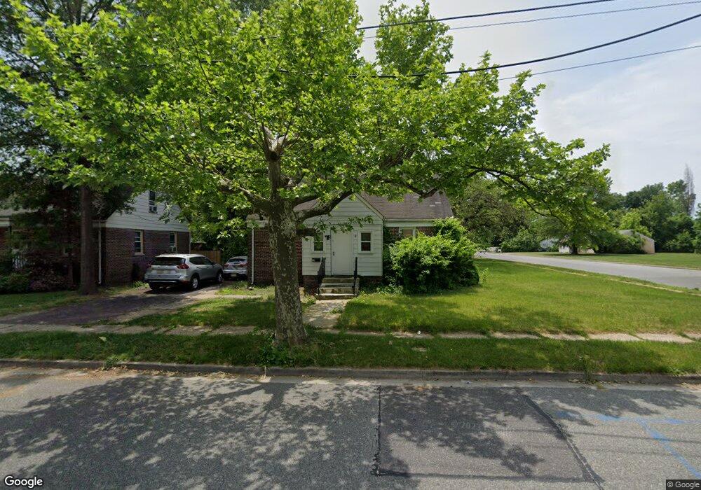
18 Regional Dr Penns Grove, NJ 08069
Estimated Value: $149,000 - $233,000
4
Beds
1
Bath
1,142
Sq Ft
$171/Sq Ft
Est. Value
About This Home
This home is located at 18 Regional Dr, Penns Grove, NJ 08069 and is currently estimated at $194,937, approximately $170 per square foot. 18 Regional Dr is a home located in Salem County with nearby schools including Lafayette-Pershing Elementary School, Paul W. Carleton Elementary School, and Field Street Elementary School.
Ownership History
Date
Name
Owned For
Owner Type
Purchase Details
Closed on
Jun 2, 2017
Sold by
Wilson Gary
Bought by
Us Bank Na
Current Estimated Value
Purchase Details
Closed on
Feb 28, 1986
Bought by
Wilson Clarence L
Create a Home Valuation Report for This Property
The Home Valuation Report is an in-depth analysis detailing your home's value as well as a comparison with similar homes in the area
Home Values in the Area
Average Home Value in this Area
Purchase History
| Date | Buyer | Sale Price | Title Company |
|---|---|---|---|
| Us Bank Na | -- | Fortune Title | |
| Wilson Clarence L | $41,500 | -- |
Source: Public Records
Tax History Compared to Growth
Tax History
| Year | Tax Paid | Tax Assessment Tax Assessment Total Assessment is a certain percentage of the fair market value that is determined by local assessors to be the total taxable value of land and additions on the property. | Land | Improvement |
|---|---|---|---|---|
| 2025 | $4,437 | $80,000 | $17,200 | $62,800 |
| 2024 | $4,288 | $80,000 | $17,200 | $62,800 |
| 2023 | $4,288 | $80,000 | $17,200 | $62,800 |
| 2022 | $4,134 | $80,000 | $17,200 | $62,800 |
| 2021 | $3,955 | $80,000 | $17,200 | $62,800 |
| 2020 | $4,007 | $80,000 | $17,200 | $62,800 |
| 2019 | $4,024 | $80,000 | $17,200 | $62,800 |
| 2018 | $3,844 | $95,300 | $26,200 | $69,100 |
| 2017 | $3,858 | $95,300 | $26,200 | $69,100 |
| 2016 | $3,712 | $95,300 | $26,200 | $69,100 |
| 2015 | $3,556 | $95,300 | $26,200 | $69,100 |
| 2014 | $3,517 | $95,300 | $26,200 | $69,100 |
Source: Public Records
Map
Nearby Homes
- 5 Dixie Dr
- 243 Wintergreen Ln
- 113 Primrose Ln
- 253 Dixie Dr
- 65 S Miller Ave
- 4 Grove St
- 0 S Virginia Ave Unit NJSA2015906
- 0 Park Ave Unit NJSA2013690
- 45 S Virginia Ave
- 83 Willis St
- 114 Deming Ave
- 311 Tyler Ave
- 239 E St
- 15 Spring St
- 121 Ash St
- 32 Westminster Ave
- 213 Garnet St
- 243 C St
- 204 206 S Broad St
- 32 Walnut St
- 228 Regional Dr
- 230 Regional Dr
- 1 Dixie Dr
- 101 Wisteria Ln
- 232 Regional Dr
- 229 Wintergreen Ln
- 3 Dixie Dr
- 234 Regional Dr
- 233 Wintergreen Ln
- 236 Regional Dr
- 235 Regional Dr
- 237 Wintergreen Ln
- 238 Regional Dr
- 7 Dixie Dr
- 240 Dixie Dr
- 104 Wisteria Ln
- 102 Primrose Ln
- 105 Wisteria Ln
- 240 Regional Dr
- 239 Regional Dr