18 Ridge Dr C Unit 32 Woodstock, NH 03262
Estimated Value: $481,249 - $599,000
2
Beds
3
Baths
1,547
Sq Ft
$341/Sq Ft
Est. Value
About This Home
This home is located at 18 Ridge Dr C Unit 32, Woodstock, NH 03262 and is currently estimated at $527,562, approximately $341 per square foot. 18 Ridge Dr C Unit 32 is a home located in Grafton County with nearby schools including Lin-Wood Public Elementary School.
Ownership History
Date
Name
Owned For
Owner Type
Purchase Details
Closed on
May 18, 2021
Sold by
Gregory Andrew R and Gregory Jennifer
Bought by
Gregory Ft
Current Estimated Value
Purchase Details
Closed on
Feb 3, 2021
Sold by
Dess David J and Dess Thelma M
Bought by
Gregory Andrew R and Gregory Jennifer
Home Financials for this Owner
Home Financials are based on the most recent Mortgage that was taken out on this home.
Original Mortgage
$239,920
Interest Rate
2.6%
Mortgage Type
Purchase Money Mortgage
Purchase Details
Closed on
Jan 5, 2004
Sold by
Mccarthy Robert S and Mccarthy Nicole M
Bought by
Dess David J and Dess Thelma M
Create a Home Valuation Report for This Property
The Home Valuation Report is an in-depth analysis detailing your home's value as well as a comparison with similar homes in the area
Home Values in the Area
Average Home Value in this Area
Purchase History
| Date | Buyer | Sale Price | Title Company |
|---|---|---|---|
| Gregory Ft | -- | None Available | |
| Gregory Andrew R | $299,933 | None Available | |
| Dess David J | $185,000 | -- |
Source: Public Records
Mortgage History
| Date | Status | Borrower | Loan Amount |
|---|---|---|---|
| Previous Owner | Gregory Andrew R | $239,920 |
Source: Public Records
Tax History Compared to Growth
Tax History
| Year | Tax Paid | Tax Assessment Tax Assessment Total Assessment is a certain percentage of the fair market value that is determined by local assessors to be the total taxable value of land and additions on the property. | Land | Improvement |
|---|---|---|---|---|
| 2024 | $5,633 | $277,200 | $0 | $277,200 |
| 2023 | $5,389 | $277,200 | $0 | $277,200 |
| 2022 | $5,095 | $277,200 | $0 | $277,200 |
| 2021 | $5,267 | $277,200 | $0 | $277,200 |
| 2020 | $5,530 | $277,200 | $0 | $277,200 |
| 2019 | $3,787 | $174,600 | $0 | $174,600 |
| 2018 | $4,881 | $174,600 | $0 | $174,600 |
| 2016 | $3,473 | $174,600 | $0 | $174,600 |
| 2015 | $3,305 | $174,600 | $0 | $174,600 |
| 2014 | $3,308 | $175,100 | $0 | $175,100 |
| 2012 | $3,221 | $180,160 | $0 | $180,160 |
Source: Public Records
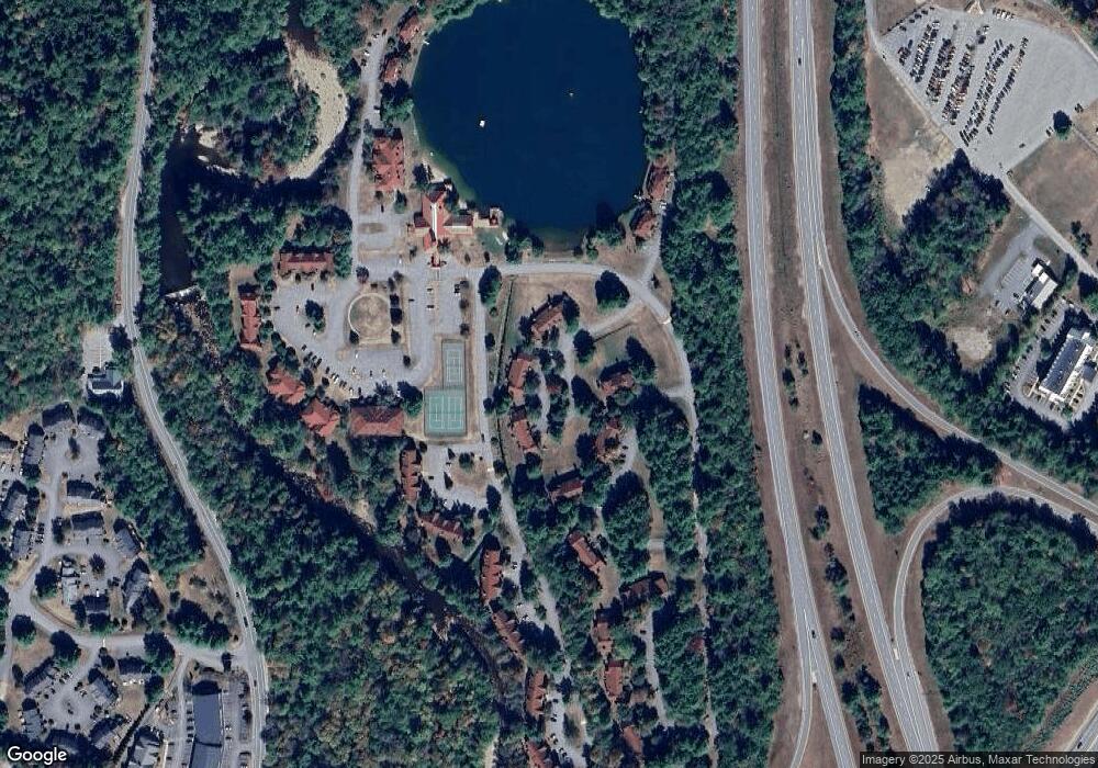
Map
Nearby Homes
- 65 Riverfront Dr Unit 217
- 45 Riverfront Dr Unit 242
- 16 Riverfront Dr Unit 293
- 16 Riverfront Dr Unit 292
- 17 Ridge Dr Unit A-14
- 164 Deer Park Dr Unit 160D
- 164 Deer Park Dr Unit 161D
- 164 Deer Park Dr Unit 168D
- 156 Deer Park Dr Unit 135 A
- 9 Moose Ln
- 11 Cascade Dr Unit 288
- 23 Oakes St
- 6 Monroe Dr Unit 111
- 14 Monroe Dr Unit 92
- 34 Franklin St
- 56 Kancamagus Hwy
- 206-011 Lost River Rd
- 78 Main St Unit 3A
- 78 Main St Unit 2A
- 25 Main St
- 18 Ridge Dr C Unit 31
- 14 Ridge Dr C Unit 36
- 18-34 Ridge C Unit 34
- 65 Riverfront Dr Unit 211
- 65 Riverfront Dr Unit 214
- 65 Riverfront Dr
- 32 Riverfront Dr Unit 301
- 75 Riverfront Dr Unit 209
- 75 Riverfront Dr Unit 207
- 75 Riverfront Dr
- 75 Riverfront Dr Unit 205
- 79 Riverfront Dr Unit 194
- 79 Riverfront Dr Unit 198
- 79 Riverfront Dr Unit 200
- 79 Riverfront Dr Unit 195
- 79 Riverfront Dr Unit 192
- 79 Riverfront Dr Unit 196
- 79 Riverfront Dr
- 63 Riverfront Dr Unit 226
- 63 Riverfront Dr Unit 225