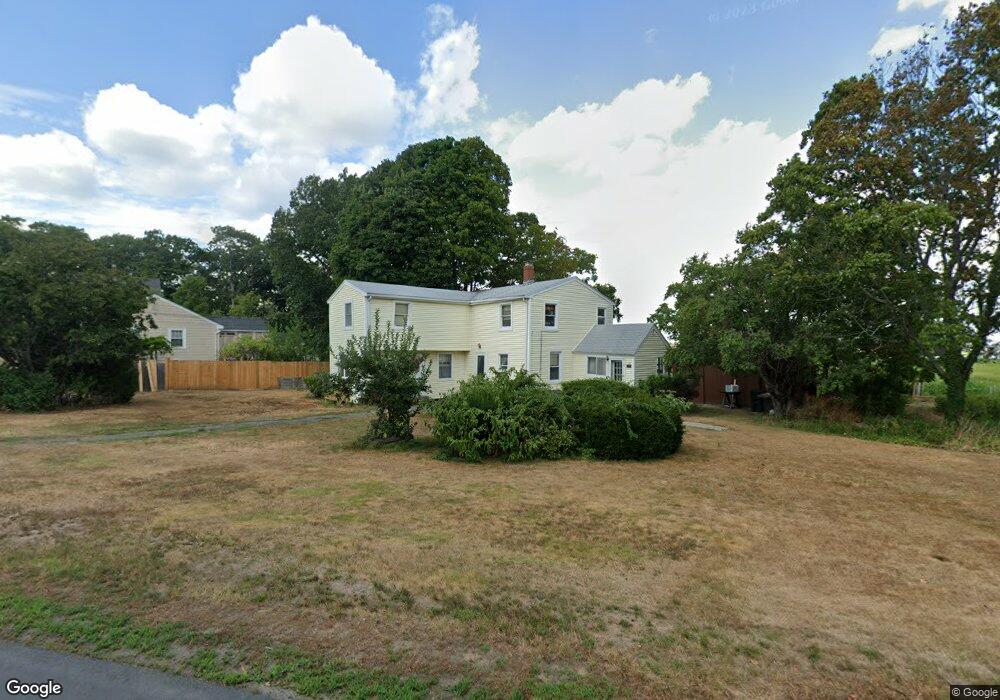
18 Riverside Ave Milton, MA 02186
Montclair NeighborhoodEstimated Value: $761,002 - $1,067,000
4
Beds
2
Baths
1,800
Sq Ft
$486/Sq Ft
Est. Value
About This Home
This home is located at 18 Riverside Ave, Milton, MA 02186 and is currently estimated at $874,501, approximately $485 per square foot. 18 Riverside Ave is a home located in Norfolk County with nearby schools including Milton High School, Conservatory Lab Upper School, and St Brendan School.
Ownership History
Date
Name
Owned For
Owner Type
Purchase Details
Closed on
Sep 10, 1965
Bought by
Skinner David N and Skinner Lois A
Current Estimated Value
Create a Home Valuation Report for This Property
The Home Valuation Report is an in-depth analysis detailing your home's value as well as a comparison with similar homes in the area
Home Values in the Area
Average Home Value in this Area
Purchase History
| Date | Buyer | Sale Price | Title Company |
|---|---|---|---|
| Skinner David N | -- | -- |
Source: Public Records
Mortgage History
| Date | Status | Borrower | Loan Amount |
|---|---|---|---|
| Open | Skinner David N | $127,800 | |
| Closed | Skinner David N | $135,000 |
Source: Public Records
Tax History
| Year | Tax Paid | Tax Assessment Tax Assessment Total Assessment is a certain percentage of the fair market value that is determined by local assessors to be the total taxable value of land and additions on the property. | Land | Improvement |
|---|---|---|---|---|
| 2025 | $7,274 | $655,900 | $369,500 | $286,400 |
| 2024 | $7,366 | $674,500 | $369,500 | $305,000 |
| 2023 | $7,589 | $665,700 | $368,100 | $297,600 |
| 2022 | $7,476 | $599,500 | $368,100 | $231,400 |
| 2021 | $7,214 | $549,400 | $328,800 | $220,600 |
| 2020 | $6,803 | $518,500 | $304,000 | $214,500 |
| 2019 | $6,636 | $503,500 | $295,200 | $208,300 |
| 2018 | $6,213 | $449,900 | $265,300 | $184,600 |
| 2017 | $5,810 | $428,500 | $252,700 | $175,800 |
| 2016 | $5,728 | $424,300 | $252,700 | $171,600 |
| 2015 | $5,636 | $404,300 | $232,700 | $171,600 |
Source: Public Records
Map
Nearby Homes
- 61 Hill Top St
- 52 California Ave
- 70 Walnut St
- 115 W Squantum St Unit 811
- 10 Grayson St
- 52 Hamilton Ave
- 400 Adams St Unit A
- 39 Fayette St Unit 403
- 140 Minot St
- 884 Adams St Unit 4
- 0 Franklin St
- 397 Adams St
- 85 Forbes Rd
- 107 Minot St
- 133 Commander Shea Blvd Unit 502
- 133 Commander Shea Blvd Unit 203
- 133 Commander Shea Blvd Unit 709
- 17 Holmes St Unit 204
- 17 Holmes St Unit 2
- 17 Holmes St Unit 1
- 10 Riverside Ave
- 21 Riverside Ave
- 27 Riverside Ave
- 3 Whitman Rd
- 33 Riverside Ave
- 11 Riverside Ave
- 12 Whitman Rd
- 2 Riverside Ave
- 37 Riverside Ave
- 41 Thistle Ave
- 11 Whitman Rd
- 37 Thistle Ave
- 15 Whitman Rd
- 45 Riverside Ave
- 54 Thistle Ave
- 33 Thistle Ave
- 50 Thistle Ave
- 29 Thistle Ave
- 44 Thistle Ave
- 51 Riverside Ave
Your Personal Tour Guide
Ask me questions while you tour the home.