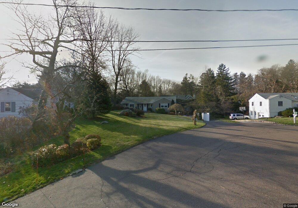
18 Robin Hood Ln Darien, CT 06820
Estimated Value: $1,264,000 - $1,775,000
3
Beds
2
Baths
1,372
Sq Ft
$1,125/Sq Ft
Est. Value
About This Home
This home is located at 18 Robin Hood Ln, Darien, CT 06820 and is currently estimated at $1,544,147, approximately $1,125 per square foot. 18 Robin Hood Ln is a home located in Fairfield County with nearby schools including Royle Elementary School, Middlesex Middle School, and Darien High School.
Ownership History
Date
Name
Owned For
Owner Type
Purchase Details
Closed on
Mar 7, 2003
Sold by
Considine Terrence and Considine Maria
Bought by
Nardone Josephine and Nardine Adele
Current Estimated Value
Home Financials for this Owner
Home Financials are based on the most recent Mortgage that was taken out on this home.
Original Mortgage
$154,800
Interest Rate
5.95%
Create a Home Valuation Report for This Property
The Home Valuation Report is an in-depth analysis detailing your home's value as well as a comparison with similar homes in the area
Home Values in the Area
Average Home Value in this Area
Purchase History
| Date | Buyer | Sale Price | Title Company |
|---|---|---|---|
| Nardone Josephine | $172,000 | -- |
Source: Public Records
Mortgage History
| Date | Status | Borrower | Loan Amount |
|---|---|---|---|
| Open | Nardone Josephine | $280,000 | |
| Closed | Nardone Josephine | $226,500 | |
| Closed | Nardone Josephine | $186,750 | |
| Closed | Nardone Josephine | $154,800 |
Source: Public Records
Tax History Compared to Growth
Tax History
| Year | Tax Paid | Tax Assessment Tax Assessment Total Assessment is a certain percentage of the fair market value that is determined by local assessors to be the total taxable value of land and additions on the property. | Land | Improvement |
|---|---|---|---|---|
| 2025 | $13,156 | $849,870 | $733,810 | $116,060 |
| 2024 | $12,485 | $849,870 | $733,810 | $116,060 |
| 2023 | $10,978 | $623,420 | $524,160 | $99,260 |
| 2022 | $10,742 | $623,420 | $524,160 | $99,260 |
| 2021 | $10,498 | $623,420 | $524,160 | $99,260 |
| 2020 | $10,180 | $623,420 | $524,160 | $99,260 |
| 2019 | $10,268 | $623,420 | $524,160 | $99,260 |
| 2018 | $11,645 | $724,220 | $621,110 | $103,110 |
| 2017 | $11,703 | $724,220 | $621,110 | $103,110 |
| 2016 | $11,421 | $724,220 | $621,110 | $103,110 |
| 2015 | $11,117 | $724,220 | $621,110 | $103,110 |
| 2014 | $10,871 | $724,220 | $621,110 | $103,110 |
Source: Public Records
Map
Nearby Homes
- 93 Mansfield Ave
- 10 Prospect Ave
- 10 Stony Brook Rd
- 8 Sedgewick Village Ln
- 10 Pine Brook Ln
- 17 Pine Brook Ln Unit 17
- 51 Hale Ln Unit 51
- 6 Priscilla Ln
- 128 West Ave
- 20 Locust Hill Rd
- 130 West Ave
- 17 Brushy Hill Rd
- 45 Hecker Ave
- 5 Wakeman Rd
- 311 Noroton Ave
- 19 Littlebrook Rd
- 39 Noroton Ave
- 261 Hollow Tree Ridge Rd
- 53 Noroton Ave
- 97 Richards Ave Unit B10
- 16 Robin Hood Ln
- 8 Partridge Ln
- 20 Robin Hood Ln
- 12 Robin Hood Ln
- 6 Partridge Ln
- 10 Robin Hood Ln
- 10 Partridge Ln
- 22 Robin Hood Ln
- 19 Robin Hood Ln
- 64 Sedgwick Ave
- 4 Partridge Ln
- 5 Robin Hood Ln
- 15 Robin Hood Ln
- 68 Sedgewick Ave
- 11 Robin Hood Ln
- 124 Leroy Ave
- 81 Mansfield Ave
- 74 Sedgwick Ave
- 76 Sedgewick Ave
- 74 Sedgewick Ave