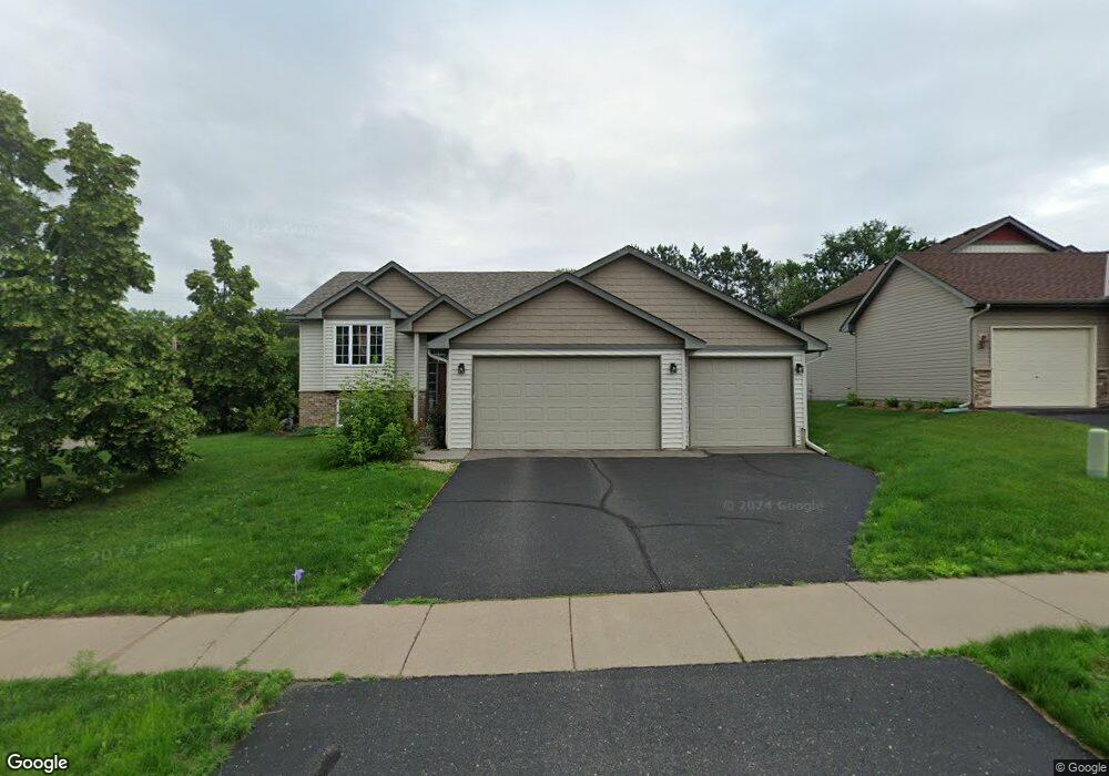
18 Robin Ln Hudson, WI 54016
Estimated Value: $443,000 - $469,000
4
Beds
3
Baths
1,936
Sq Ft
$235/Sq Ft
Est. Value
About This Home
This home is located at 18 Robin Ln, Hudson, WI 54016 and is currently estimated at $454,530, approximately $234 per square foot. 18 Robin Ln is a home located in St. Croix County with nearby schools including River Crest Elementary School, Hudson Middle School, and Hudson High School.
Ownership History
Date
Name
Owned For
Owner Type
Purchase Details
Closed on
Sep 15, 2017
Sold by
Herrera Carlos E and Herrera Ofelia F
Bought by
Bieringer Sarah D
Current Estimated Value
Purchase Details
Closed on
Aug 10, 2006
Sold by
Robert Mcnearney Custom Homes Inc
Bought by
Herrera Carol E and Herrera Ofelia F
Home Financials for this Owner
Home Financials are based on the most recent Mortgage that was taken out on this home.
Original Mortgage
$229,500
Interest Rate
6.83%
Mortgage Type
New Conventional
Purchase Details
Closed on
Feb 14, 2005
Sold by
Topaz Llc
Bought by
Robert Mcnearney Custom Homes Inc
Home Financials for this Owner
Home Financials are based on the most recent Mortgage that was taken out on this home.
Original Mortgage
$130,000
Interest Rate
5.7%
Mortgage Type
Purchase Money Mortgage
Create a Home Valuation Report for This Property
The Home Valuation Report is an in-depth analysis detailing your home's value as well as a comparison with similar homes in the area
Home Values in the Area
Average Home Value in this Area
Purchase History
| Date | Buyer | Sale Price | Title Company |
|---|---|---|---|
| Bieringer Sarah D | $299,900 | -- | |
| Herrera Carol E | $255,000 | Land Title Inc | |
| Robert Mcnearney Custom Homes Inc | $74,900 | Land Title Inc |
Source: Public Records
Mortgage History
| Date | Status | Borrower | Loan Amount |
|---|---|---|---|
| Previous Owner | Herrera Carol E | $229,500 | |
| Previous Owner | Robert Mcnearney Custom Homes Inc | $130,000 |
Source: Public Records
Tax History
| Year | Tax Paid | Tax Assessment Tax Assessment Total Assessment is a certain percentage of the fair market value that is determined by local assessors to be the total taxable value of land and additions on the property. | Land | Improvement |
|---|---|---|---|---|
| 2025 | $5,478 | $432,300 | $104,000 | $328,300 |
| 2024 | $54 | $316,200 | $67,300 | $248,900 |
| 2023 | $5,142 | $316,200 | $67,300 | $248,900 |
| 2022 | $4,795 | $316,200 | $67,300 | $248,900 |
| 2021 | $4,894 | $316,200 | $67,300 | $248,900 |
| 2020 | $4,876 | $316,200 | $67,300 | $248,900 |
| 2019 | $4,785 | $242,700 | $57,300 | $185,400 |
| 2018 | $4,594 | $242,700 | $57,300 | $185,400 |
| 2017 | $4,381 | $237,400 | $57,300 | $180,100 |
| 2016 | $4,381 | $237,400 | $57,300 | $180,100 |
| 2015 | $4,072 | $237,400 | $57,300 | $180,100 |
| 2014 | $4,004 | $237,400 | $57,300 | $180,100 |
| 2013 | $4,154 | $237,400 | $57,300 | $180,100 |
Source: Public Records
Map
Nearby Homes
- 28 Heritage Blvd
- 117 Heirloom Ave
- 12 Palomino Ct
- 665 Darnold Dr
- 671 Darnold Dr
- 640 Gilbert Rd
- 127 Stratford Way Unit 6
- 489 Canyon Blvd
- 90th Tower Rd
- XXX Gilbert Rd
- 701 Rodeo Dr
- Lot 25 Hanley Rd
- 85 Deerwood Ct
- 91 Deerwood Ct
- 464 Stageline Rd
- 518 Pamela Ln
- XXX Tower Rd
- 719 Countryview Cir
- 1204 54th St
- 529 Chapman Hills Ct
Your Personal Tour Guide
Ask me questions while you tour the home.