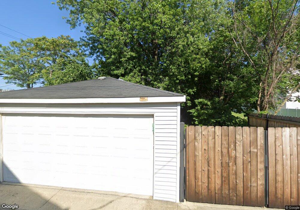
18 S Menard Ave Chicago, IL 60644
Austin NeighborhoodEstimated Value: $285,686 - $408,000
3
Beds
2
Baths
1,915
Sq Ft
$173/Sq Ft
Est. Value
About This Home
This home is located at 18 S Menard Ave, Chicago, IL 60644 and is currently estimated at $330,422, approximately $172 per square foot. 18 S Menard Ave is a home located in Cook County with nearby schools including Depriest Elementary School, Catalyst Charter-Circle Rock Elementary School, and St. Catherine - St. Lucy School.
Ownership History
Date
Name
Owned For
Owner Type
Purchase Details
Closed on
Dec 27, 2010
Sold by
Holmlund Gale
Bought by
Holmlund Gale and Gale Holmlund Revocable Trust
Current Estimated Value
Purchase Details
Closed on
May 22, 1996
Sold by
Gritzanis Peter
Bought by
Aaseng Scott and Holmlund Gale C
Home Financials for this Owner
Home Financials are based on the most recent Mortgage that was taken out on this home.
Original Mortgage
$86,000
Outstanding Balance
$4,945
Interest Rate
8.1%
Estimated Equity
$325,477
Create a Home Valuation Report for This Property
The Home Valuation Report is an in-depth analysis detailing your home's value as well as a comparison with similar homes in the area
Home Values in the Area
Average Home Value in this Area
Purchase History
| Date | Buyer | Sale Price | Title Company |
|---|---|---|---|
| Holmlund Gale | -- | Attorneys Title Guaranty Fun | |
| Aaseng Scott | -- | Attorneys Title Guaranty Fun | |
| Aaseng Scott | $108,000 | -- |
Source: Public Records
Mortgage History
| Date | Status | Borrower | Loan Amount |
|---|---|---|---|
| Open | Aaseng Scott | $86,000 |
Source: Public Records
Tax History Compared to Growth
Tax History
| Year | Tax Paid | Tax Assessment Tax Assessment Total Assessment is a certain percentage of the fair market value that is determined by local assessors to be the total taxable value of land and additions on the property. | Land | Improvement |
|---|---|---|---|---|
| 2024 | $2,887 | $22,000 | $7,392 | $14,608 |
| 2023 | $2,793 | $17,000 | $5,852 | $11,148 |
| 2022 | $2,793 | $17,000 | $5,852 | $11,148 |
| 2021 | $2,749 | $17,000 | $5,852 | $11,148 |
| 2020 | $3,298 | $17,908 | $5,236 | $12,672 |
| 2019 | $3,309 | $19,898 | $5,236 | $14,662 |
| 2018 | $3,252 | $19,898 | $5,236 | $14,662 |
| 2017 | $2,515 | $15,060 | $4,620 | $10,440 |
| 2016 | $2,516 | $15,060 | $4,620 | $10,440 |
| 2015 | $2,279 | $15,060 | $4,620 | $10,440 |
| 2014 | $2,329 | $15,123 | $4,312 | $10,811 |
| 2013 | $2,272 | $15,123 | $4,312 | $10,811 |
Source: Public Records
Map
Nearby Homes
- 5902 W Madison St Unit 3
- 19 S Waller Ave
- 35 N Mayfield Ave
- 43 N Menard Ave
- 128 N Menard Ave
- 22 S Austin Blvd
- 118 N Mayfield Ave
- 129 N Mason Ave Unit 105
- 514 S Humphrey Ave
- 208 S Austin Blvd
- 7639 W Jackson Blvd Unit 1E
- 216 S Austin Blvd
- 216 N Mayfield Ave
- 227-229 N Menard Ave
- 5815 W Fulton St
- 410 S Austin Blvd Unit 3S
- 426 S Lombard Ave Unit 205
- 5449 W Quincy St
- 612 S Lombard Ave
- 5551 W Van Buren St
- 24 S Menard Ave
- 24 S Menard Ave Unit 2
- 26 S Menard Ave
- 28 S Menard Ave
- 5813 W Madison St
- 30 S Menard Ave
- 5817 W Madison St
- 32 S Menard Ave
- 32 S Menard Ave Unit 1N
- 32 S Menard Ave Unit 2N
- 32 S Menard Ave Unit 2S
- 32 S Menard Ave Unit 3S
- 32 S Menard Ave Unit 3N
- 5801 W Madison St
- 17 S Mayfield Ave Unit 1
- 17 S Mayfield Ave
- 21 S Mayfield Ave
- 21 S Mayfield Ave
- 5827 W Madison St
- 23 S Mayfield Ave