18 Sargent Rd Brookline, NH 03033
Estimated Value: $508,000 - $577,822
3
Beds
3
Baths
2,017
Sq Ft
$277/Sq Ft
Est. Value
About This Home
This home is located at 18 Sargent Rd, Brookline, NH 03033 and is currently estimated at $558,456, approximately $276 per square foot. 18 Sargent Rd is a home with nearby schools including Richard Maghakian Memorial School, Captain Samuel Douglass Academy, and Hollis-Brookline Middle School.
Ownership History
Date
Name
Owned For
Owner Type
Purchase Details
Closed on
May 28, 2022
Sold by
Boyle Barbara L and Fries Thomas J
Bought by
T Fries & B Boyle Ret
Current Estimated Value
Purchase Details
Closed on
Apr 2, 1997
Sold by
Adamyk Homes Inc
Bought by
Spencer Mark E
Home Financials for this Owner
Home Financials are based on the most recent Mortgage that was taken out on this home.
Original Mortgage
$55,000
Interest Rate
7.5%
Create a Home Valuation Report for This Property
The Home Valuation Report is an in-depth analysis detailing your home's value as well as a comparison with similar homes in the area
Home Values in the Area
Average Home Value in this Area
Purchase History
| Date | Buyer | Sale Price | Title Company |
|---|---|---|---|
| T Fries & B Boyle Ret | -- | None Available | |
| Spencer Mark E | $76,000 | -- |
Source: Public Records
Mortgage History
| Date | Status | Borrower | Loan Amount |
|---|---|---|---|
| Previous Owner | Spencer Mark E | $55,000 |
Source: Public Records
Tax History Compared to Growth
Tax History
| Year | Tax Paid | Tax Assessment Tax Assessment Total Assessment is a certain percentage of the fair market value that is determined by local assessors to be the total taxable value of land and additions on the property. | Land | Improvement |
|---|---|---|---|---|
| 2024 | $11,979 | $529,800 | $182,700 | $347,100 |
| 2023 | $11,009 | $529,800 | $182,700 | $347,100 |
| 2022 | $9,864 | $331,900 | $110,100 | $221,800 |
| 2021 | $9,486 | $331,900 | $110,100 | $221,800 |
| 2020 | $9,227 | $331,900 | $110,100 | $221,800 |
| 2019 | $9,914 | $331,900 | $110,100 | $221,800 |
| 2018 | $8,091 | $331,900 | $110,100 | $221,800 |
| 2017 | $8,446 | $256,400 | $89,000 | $167,400 |
| 2016 | $8,348 | $256,400 | $89,000 | $167,400 |
| 2015 | $7,961 | $256,400 | $89,000 | $167,400 |
| 2014 | $8,423 | $256,400 | $89,000 | $167,400 |
| 2013 | $8,002 | $253,000 | $89,000 | $164,000 |
Source: Public Records
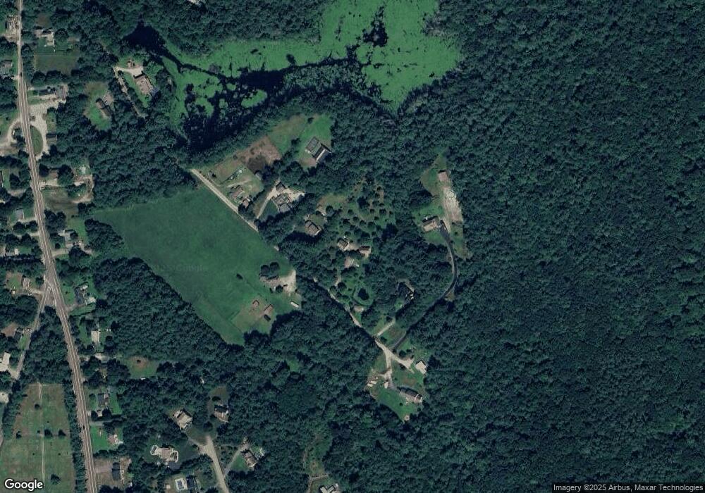
Map
Nearby Homes
- 6 Flint Meadow Dr
- 22 Hobart Hill Rd
- 46 Oak Hill Rd
- 55 Oak Hill Rd
- 28A Rocky Pond Rd
- 5 Carons Way
- 167 Route 13
- 6 High Oaks Path
- 22 Austin Ln
- 7 Winterberry Rd
- 93 Old Milford Rd
- 9 Winterberry Rd
- 143 Worcester Rd
- 179 Brookline St
- 21 Cranberry St
- 364 Townsend Hill Rd
- 15 N End Rd
- 172 Hayden Rd
- 3 Wood Ln
- 10 Boynton St